70 Prouty Rd New Braintree, MA 01531
Estimated Value: $490,000 - $767,125
3
Beds
2
Baths
1,730
Sq Ft
$358/Sq Ft
Est. Value
About This Home
This home is located at 70 Prouty Rd, New Braintree, MA 01531 and is currently estimated at $619,781, approximately $358 per square foot. 70 Prouty Rd is a home located in Worcester County with nearby schools including Quabbin Regional Middle School and Quabbin Regional High School.
Ownership History
Date
Name
Owned For
Owner Type
Purchase Details
Closed on
Aug 6, 2014
Sold by
Sibley Susan E and Dowgielewicz Susan E
Bought by
Dowgielewicz John J
Current Estimated Value
Purchase Details
Closed on
Jun 3, 2013
Sold by
Waspalis Ft and Sibley Patricia J
Bought by
Dowgielewicz Susan E and Dowgielewicz John J
Create a Home Valuation Report for This Property
The Home Valuation Report is an in-depth analysis detailing your home's value as well as a comparison with similar homes in the area
Home Values in the Area
Average Home Value in this Area
Purchase History
| Date | Buyer | Sale Price | Title Company |
|---|---|---|---|
| Dowgielewicz John J | -- | -- | |
| Dowgielewicz Susan E | -- | -- |
Source: Public Records
Tax History
| Year | Tax Paid | Tax Assessment Tax Assessment Total Assessment is a certain percentage of the fair market value that is determined by local assessors to be the total taxable value of land and additions on the property. | Land | Improvement |
|---|---|---|---|---|
| 2025 | $98 | $660,000 | $54,500 | $605,500 |
| 2024 | $9,596 | $660,000 | $54,500 | $605,500 |
| 2023 | $8,764 | $597,000 | $54,500 | $542,500 |
| 2022 | $7,771 | $478,200 | $43,400 | $434,800 |
| 2021 | $7,942 | $454,600 | $40,600 | $414,000 |
| 2020 | $7,796 | $450,100 | $40,600 | $409,500 |
| 2019 | $7,652 | $450,100 | $40,600 | $409,500 |
| 2018 | $7,509 | $427,600 | $43,400 | $384,200 |
| 2017 | $6,960 | $385,400 | $46,500 | $338,900 |
| 2016 | $6,706 | $385,400 | $46,500 | $338,900 |
| 2015 | $6,595 | $406,100 | $53,100 | $353,000 |
| 2014 | $6,636 | $406,100 | $53,100 | $353,000 |
Source: Public Records
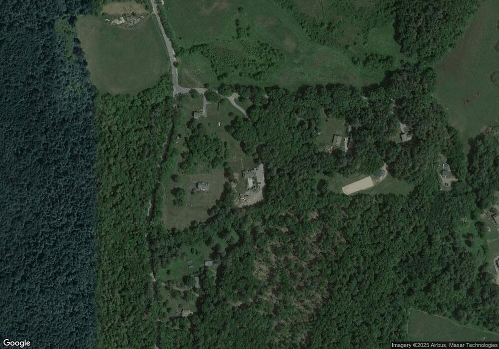
Map
Nearby Homes
- 179 Pierce Rd
- 0 Barr Rd
- 16 Smith and Hanson Rd
- 16 Mill Rd
- 300 Padre Rd
- 291 Wigwam Rd
- 260 Wickaboag Valley Rd
- 80 New Braintree Rd
- lt3 West Rd
- 138 Ragged Hill Rd
- 18-20 Old w Brookfield Rd
- 61 Bates St
- 48 Mill Rd Lot 2e
- 250 N Main St
- 10 Rufus Putnam Rd
- 95 S Main St
- 101 School St
- 60 Gilbert St
- 233 Ragged Hill Rd
- 47 Elm St
- 1025 W Brookfield Rd
- 50 Prouty Rd
- 115 Prouty Rd
- 1075 W Brookfield Rd
- 1125 W Brookfield Rd
- 111 Waite Corner Rd
- 863 W Brookfield Rd
- 107 Waite Corner Rd
- 109 Waite Corner Rd
- 109 Waite Corner Rd
- 1155 W Brookfield Rd
- 1185 W Brookfield Rd
- 106 Waite Corner Rd
- 103 Waite Corner Rd
- 1188 W Brookfield Rd
- 1188 W Brookfield Rd
- 1188 W Brookfield Rd
- 860 W Brookfield Rd
- 860 W Brookfield Rd
- 850 W Brookfield Rd
Your Personal Tour Guide
Ask me questions while you tour the home.