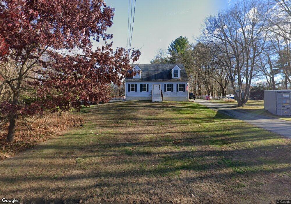
70 Rabbit Rd Salisbury, MA 01952
Estimated Value: $539,000 - $734,000
2
Beds
1
Bath
1,372
Sq Ft
$478/Sq Ft
Est. Value
About This Home
This home is located at 70 Rabbit Rd, Salisbury, MA 01952 and is currently estimated at $656,415, approximately $478 per square foot. 70 Rabbit Rd is a home located in Essex County with nearby schools including Triton Regional High School.
Ownership History
Date
Name
Owned For
Owner Type
Purchase Details
Closed on
Aug 5, 2002
Sold by
Curtis David G and Lang Linda A
Bought by
Allard Denise and Allard Kenneth
Current Estimated Value
Home Financials for this Owner
Home Financials are based on the most recent Mortgage that was taken out on this home.
Original Mortgage
$159,120
Interest Rate
6.64%
Mortgage Type
Purchase Money Mortgage
Create a Home Valuation Report for This Property
The Home Valuation Report is an in-depth analysis detailing your home's value as well as a comparison with similar homes in the area
Home Values in the Area
Average Home Value in this Area
Purchase History
| Date | Buyer | Sale Price | Title Company |
|---|---|---|---|
| Allard Denise | $198,900 | -- |
Source: Public Records
Mortgage History
| Date | Status | Borrower | Loan Amount |
|---|---|---|---|
| Open | Allard Denise | $158,700 | |
| Closed | Allard Denise | $159,120 |
Source: Public Records
Tax History Compared to Growth
Tax History
| Year | Tax Paid | Tax Assessment Tax Assessment Total Assessment is a certain percentage of the fair market value that is determined by local assessors to be the total taxable value of land and additions on the property. | Land | Improvement |
|---|---|---|---|---|
| 2025 | $5,152 | $511,100 | $172,800 | $338,300 |
| 2024 | $5,006 | $479,000 | $172,800 | $306,200 |
| 2023 | $4,828 | $447,000 | $172,800 | $274,200 |
| 2022 | $4,548 | $408,300 | $155,500 | $252,800 |
| 2021 | $4,449 | $395,100 | $155,500 | $239,600 |
| 2020 | $4,169 | $363,800 | $155,500 | $208,300 |
| 2019 | $4,083 | $344,300 | $151,200 | $193,100 |
| 2018 | $3,969 | $336,900 | $144,100 | $192,800 |
| 2017 | $3,630 | $304,500 | $129,600 | $174,900 |
| 2016 | $3,526 | $302,100 | $125,300 | $176,800 |
| 2015 | $3,391 | $288,600 | $116,700 | $171,900 |
Source: Public Records
Map
Nearby Homes
- 74 Rabbit Rd
- 74 Rabbit Rd Unit 74
- 68 Rabbit Rd
- 72 Rabbit Rd
- 69 Rabbit Rd
- 66 Rabbit Rd
- 71 Rabbit Rd
- 77 Rabbit Rd
- 64 Rabbit Rd
- 67 Rabbit Rd
- 76 Baker Rd
- 1 Catherine Way
- 62 Rabbit Rd
- 65 Rabbit Rd
- 72 Baker Rd
- 3 Catherine Way
- 81 Baker Rd
- 0 Catherine Way Unit 70879024
- 0 Catherine Way Unit 71110325
- 0 Catherine Way Unit 71848173