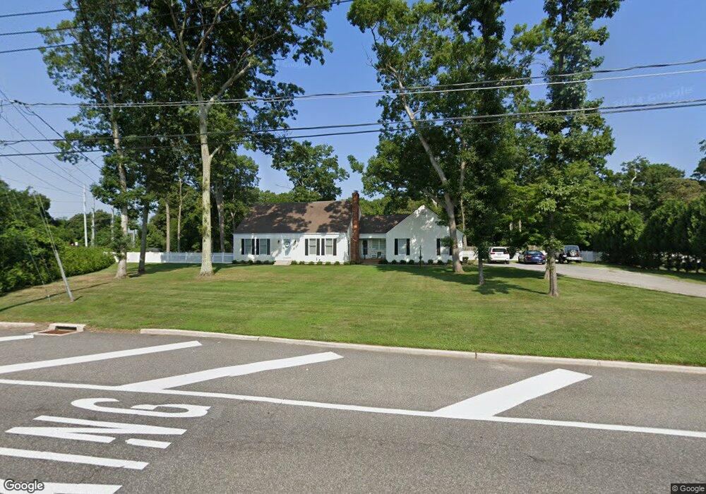
70 Randall Rd Wading River, NY 11792
Estimated Value: $639,817 - $808,000
4
Beds
3
Baths
1,396
Sq Ft
$525/Sq Ft
Est. Value
About This Home
This home is located at 70 Randall Rd, Wading River, NY 11792 and is currently estimated at $732,954, approximately $525 per square foot. 70 Randall Rd is a home located in Suffolk County with nearby schools including Wading River School, Miller Avenue School, and Albert G Prodell Middle School.
Ownership History
Date
Name
Owned For
Owner Type
Purchase Details
Closed on
Aug 22, 2018
Sold by
Sandra L Fayette Irt
Bought by
Messina Matthew
Current Estimated Value
Home Financials for this Owner
Home Financials are based on the most recent Mortgage that was taken out on this home.
Original Mortgage
$373,500
Outstanding Balance
$321,270
Interest Rate
4.5%
Mortgage Type
New Conventional
Estimated Equity
$411,684
Purchase Details
Closed on
Jul 15, 2014
Sold by
Fayette Steven
Bought by
Fayette Steven and Sandra L Fayette Irrevocable Trust
Purchase Details
Closed on
Jul 26, 2010
Sold by
Hanson Gail and Fayette Sandra L
Bought by
Hanson Gail M
Create a Home Valuation Report for This Property
The Home Valuation Report is an in-depth analysis detailing your home's value as well as a comparison with similar homes in the area
Home Values in the Area
Average Home Value in this Area
Purchase History
| Date | Buyer | Sale Price | Title Company |
|---|---|---|---|
| Messina Matthew | $415,000 | -- | |
| Fayette Steven | -- | -- | |
| Hanson Gail M | -- | -- |
Source: Public Records
Mortgage History
| Date | Status | Borrower | Loan Amount |
|---|---|---|---|
| Open | Messina Matthew | $373,500 |
Source: Public Records
Tax History
| Year | Tax Paid | Tax Assessment Tax Assessment Total Assessment is a certain percentage of the fair market value that is determined by local assessors to be the total taxable value of land and additions on the property. | Land | Improvement |
|---|---|---|---|---|
| 2024 | $12,757 | $3,240 | $450 | $2,790 |
| 2023 | $12,757 | $3,240 | $450 | $2,790 |
| 2022 | $10,192 | $3,240 | $450 | $2,790 |
| 2021 | $10,192 | $3,240 | $450 | $2,790 |
| 2020 | $11,568 | $3,240 | $450 | $2,790 |
| 2019 | $11,568 | $0 | $0 | $0 |
| 2018 | $9,994 | $3,240 | $450 | $2,790 |
| 2017 | $9,994 | $3,240 | $450 | $2,790 |
| 2016 | $9,968 | $3,240 | $450 | $2,790 |
| 2015 | -- | $3,240 | $450 | $2,790 |
| 2014 | -- | $3,240 | $450 | $2,790 |
Source: Public Records
Map
Nearby Homes
- 60 Randall Rd
- 30 Long Bow
- 33 Randall Rd
- 1944 Wading River Manor Rd
- 11 Seneca Trail
- 0 Route 25A Unit ONE3585320
- 230 Lakeside Trail
- 11 Reynolds Rd
- 234 Lakeside Trail
- 244 Lakeside Trail
- 119 Creek Rd
- 215 Lakeside Trail
- 243 Lakeside Trail
- 12 Jomar Rd
- 16 Rocklein Rd
- 6 Robinson St
- 47 Cobblestone Dr
- 31 Valentine Rd
- 32 Valentine Rd
- 1430 Wading River Manor Rd
Your Personal Tour Guide
Ask me questions while you tour the home.