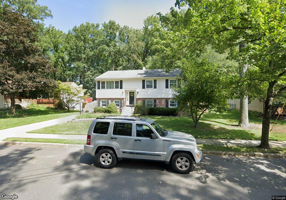
70 Red Leaf Rd Moorestown, NJ 08057
Estimated Value: $477,786 - $563,000
Studio
--
Bath
2,096
Sq Ft
$251/Sq Ft
Est. Value
About This Home
This home is located at 70 Red Leaf Rd, Moorestown, NJ 08057 and is currently estimated at $526,697, approximately $251 per square foot. 70 Red Leaf Rd is a home located in Burlington County with nearby schools including Mary E. Roberts Elementary School, Moorestown Upper Elementary School, and William Allen Middle School.
Ownership History
Date
Name
Owned For
Owner Type
Purchase Details
Closed on
Apr 15, 2020
Sold by
Mcdermott Vincent J and Mcdermott Karen A
Bought by
Whalen Jeffrey F and Whalen Aubree C
Current Estimated Value
Home Financials for this Owner
Home Financials are based on the most recent Mortgage that was taken out on this home.
Original Mortgage
$280,000
Interest Rate
3.1%
Mortgage Type
New Conventional
Purchase Details
Closed on
Dec 30, 1985
Bought by
Mcdermott Vincent J and Mcdermott Karen A
Create a Home Valuation Report for This Property
The Home Valuation Report is an in-depth analysis detailing your home's value as well as a comparison with similar homes in the area
Home Values in the Area
Average Home Value in this Area
Purchase History
| Date | Buyer | Sale Price | Title Company |
|---|---|---|---|
| Whalen Jeffrey F | $350,000 | Surety Title Company | |
| Mcdermott Vincent J | $82,500 | -- |
Source: Public Records
Mortgage History
| Date | Status | Borrower | Loan Amount |
|---|---|---|---|
| Previous Owner | Whalen Jeffrey F | $280,000 |
Source: Public Records
Tax History
| Year | Tax Paid | Tax Assessment Tax Assessment Total Assessment is a certain percentage of the fair market value that is determined by local assessors to be the total taxable value of land and additions on the property. | Land | Improvement |
|---|---|---|---|---|
| 2025 | $6,516 | $227,900 | $65,600 | $162,300 |
| 2024 | $6,320 | $227,900 | $65,600 | $162,300 |
| 2023 | $6,320 | $227,900 | $65,600 | $162,300 |
| 2022 | $6,288 | $227,900 | $65,600 | $162,300 |
| 2021 | $6,208 | $227,900 | $65,600 | $162,300 |
| 2020 | $6,167 | $227,900 | $65,600 | $162,300 |
| 2019 | $6,055 | $227,900 | $65,600 | $162,300 |
| 2018 | $5,878 | $227,900 | $65,600 | $162,300 |
| 2017 | $5,916 | $227,900 | $65,600 | $162,300 |
| 2016 | $5,889 | $227,900 | $65,600 | $162,300 |
| 2015 | $5,811 | $227,900 | $65,600 | $162,300 |
| 2014 | $5,527 | $227,900 | $65,600 | $162,300 |
Source: Public Records
Map
Nearby Homes
- 206 Crider Ave Unit 206
- 11 Errickson Ave
- 620 N Lincoln Ave
- 506 N Garfield Ave
- 149 Chalkboard Ct
- 141 Chalkboard Ct Unit 141
- 20 -22 New Albany Rd
- 21 N Lenola Rd
- 117 Domenica Dr
- 33 Vincent Way
- 236 Carriage Hill Dr
- 206 E Camden Ave
- 2 Oriole Way
- 728 Haverford Ave
- 26 Morris Ave
- 316 Farmdale Rd
- 211 Valley Forge Rd
- 308 Farmdale Rd
- Ballad Plan at Villages at Moorestown
- Cadence Plan at Villages at Moorestown