70 Richard Scott Ct Wright City, MO 63390
Estimated Value: $420,000 - $508,000
3
Beds
2
Baths
2,040
Sq Ft
$224/Sq Ft
Est. Value
About This Home
This home is located at 70 Richard Scott Ct, Wright City, MO 63390 and is currently estimated at $456,761, approximately $223 per square foot. 70 Richard Scott Ct is a home located in Lincoln County with nearby schools including Wright City West Elementary School, Wright City East Elementary School, and Wright City Middle School.
Ownership History
Date
Name
Owned For
Owner Type
Purchase Details
Closed on
Sep 12, 2013
Sold by
Turpin Gregory and Turpin Sandra
Bought by
Maestas Jonathan M and Maestas Kristin S
Current Estimated Value
Home Financials for this Owner
Home Financials are based on the most recent Mortgage that was taken out on this home.
Original Mortgage
$48,629
Outstanding Balance
$36,303
Interest Rate
4.41%
Mortgage Type
Future Advance Clause Open End Mortgage
Estimated Equity
$420,458
Create a Home Valuation Report for This Property
The Home Valuation Report is an in-depth analysis detailing your home's value as well as a comparison with similar homes in the area
Purchase History
| Date | Buyer | Sale Price | Title Company |
|---|---|---|---|
| Maestas Jonathan M | -- | None Available |
Source: Public Records
Mortgage History
| Date | Status | Borrower | Loan Amount |
|---|---|---|---|
| Open | Maestas Jonathan M | $48,629 |
Source: Public Records
Tax History
| Year | Tax Paid | Tax Assessment Tax Assessment Total Assessment is a certain percentage of the fair market value that is determined by local assessors to be the total taxable value of land and additions on the property. | Land | Improvement |
|---|---|---|---|---|
| 2025 | $2,669 | $42,845 | $2,869 | $39,976 |
| 2024 | $2,277 | $37,850 | $2,187 | $35,663 |
| 2023 | $1,489 | $24,919 | $2,299 | $22,620 |
| 2022 | $1,405 | $23,535 | $2,187 | $21,348 |
| 2021 | $1,413 | $123,052 | $0 | $0 |
| 2020 | $1,263 | $109,682 | $0 | $0 |
| 2019 | $1,047 | $91,062 | $0 | $0 |
| 2018 | $1,038 | $17,618 | $0 | $0 |
| 2017 | $1,036 | $17,618 | $0 | $0 |
| 2016 | $919 | $11,683 | $0 | $0 |
| 2015 | $147 | $11,683 | $0 | $0 |
| 2014 | $258 | $4,402 | $0 | $0 |
| 2013 | -- | $4,402 | $0 | $0 |
Source: Public Records
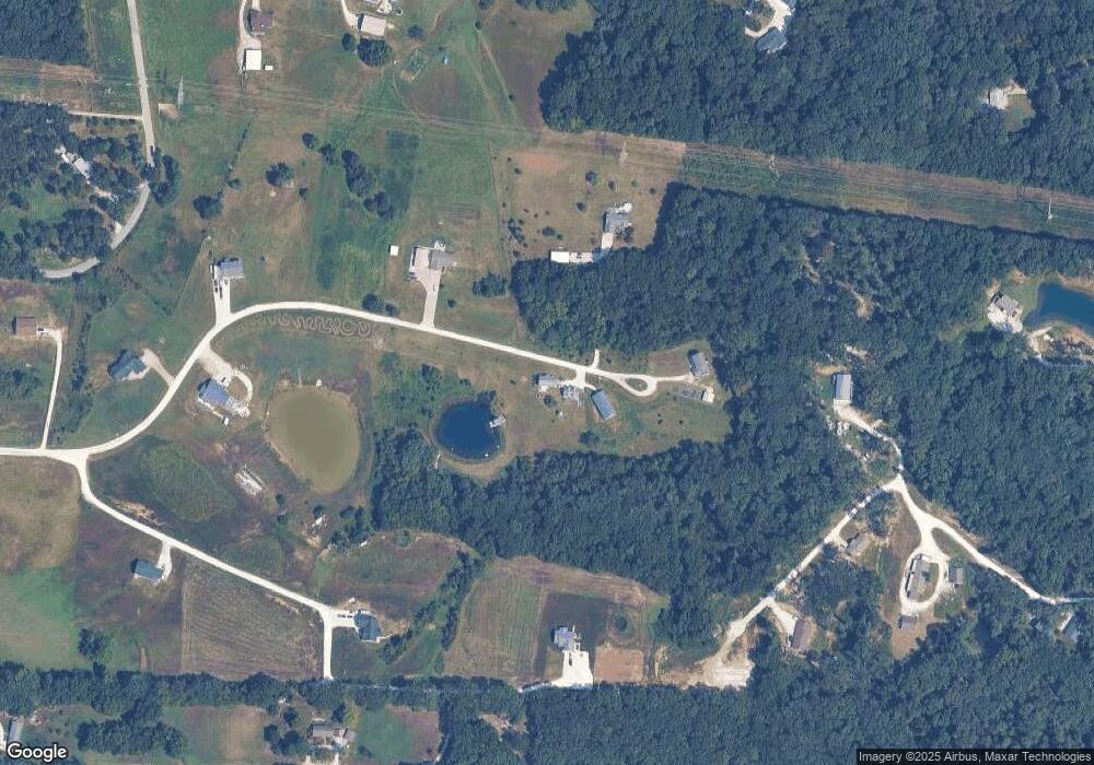
Map
Nearby Homes
- 1855 Rock Springs Rd
- 29 Fox Run Dr
- 38 Deer Crossing
- 3010 Whispering Oak Bend
- 0 Staghorn Unit MIS25064759
- 106 Schemmer Rd
- 1835 Rock Springs Rd
- 1403 Highway J
- 148 Jabin Farm Rd
- 140 Jabin Farm Rd
- 31638 N Stringtown Rd
- 100 Jabin Farm Rd
- 825 Highway Ww
- 31899 Tea Olive Dr
- 621 Sweetgum Ct
- 1219 Godt Rd
- 31682 Dogwood Ln
- 31649 Dogwood Ln
- 10868 Magnolia Dr
- 31634 Dogwood Ln
- 81 Richard Scott Ct
- 51 Richard Scott Ct
- 71 Richard Scott Ct
- 30 Richard Scott Ct
- 18Lot Richard Scott Ct
- 41 Richard Scott Ct
- 35 Gregory Michael Ln
- 121 Turpin Ln
- 0Lot #24 Richard Scott Ct
- 0Lot #18 Richard Scott Ct
- 0Lot #23 Richard Scott Ct
- 0Lot #15 Richard Scott Ct
- 0Lot #25 Richard Scott Ct
- 0Lot #1 Richard Scott Ct
- 46 Acres Off Richard Scott Rd
- 31 Richard Scott Ct
- 134 Turpin Ln
- 144 Turpin Ln
- 18 Richard Scott Ct
- 24 Malorie Ann Ct
Your Personal Tour Guide
Ask me questions while you tour the home.