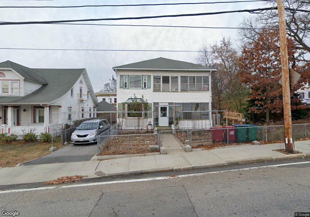
70 Riverside St Lowell, MA 01854
Pawtucketville NeighborhoodEstimated Value: $646,000 - $781,000
6
Beds
2
Baths
2,536
Sq Ft
$275/Sq Ft
Est. Value
About This Home
This home is located at 70 Riverside St, Lowell, MA 01854 and is currently estimated at $697,084, approximately $274 per square foot. 70 Riverside St is a home located in Middlesex County with nearby schools including Joseph McAvinnue Elementary School, Charlotte M. Murkland Elementary School, and Charles W. Morey Elementary School.
Ownership History
Date
Name
Owned For
Owner Type
Purchase Details
Closed on
Dec 5, 2017
Sold by
Ot Ravith
Bought by
Proam Ravinh
Current Estimated Value
Home Financials for this Owner
Home Financials are based on the most recent Mortgage that was taken out on this home.
Original Mortgage
$251,322
Outstanding Balance
$210,583
Interest Rate
3.88%
Mortgage Type
FHA
Estimated Equity
$486,501
Purchase Details
Closed on
Aug 11, 2015
Sold by
Roth Paul
Bought by
Ot Ravith
Purchase Details
Closed on
May 20, 2011
Sold by
Roth Paul S
Bought by
Roth Paul and Mao Sreyley
Purchase Details
Closed on
Jan 12, 1994
Sold by
Petros George and Petros Madeline
Bought by
Proam Ravuth and Proam Ravinh
Home Financials for this Owner
Home Financials are based on the most recent Mortgage that was taken out on this home.
Original Mortgage
$103,000
Interest Rate
7.22%
Mortgage Type
Purchase Money Mortgage
Create a Home Valuation Report for This Property
The Home Valuation Report is an in-depth analysis detailing your home's value as well as a comparison with similar homes in the area
Home Values in the Area
Average Home Value in this Area
Purchase History
| Date | Buyer | Sale Price | Title Company |
|---|---|---|---|
| Proam Ravinh | $260,000 | -- | |
| Ot Ravith | $260,000 | -- | |
| Roth Paul | -- | -- | |
| Roth Paul | -- | -- | |
| Proam Ravuth | $113,000 | -- | |
| Proam Ravuth | $113,000 | -- |
Source: Public Records
Mortgage History
| Date | Status | Borrower | Loan Amount |
|---|---|---|---|
| Open | Proam Ravinh | $251,322 | |
| Closed | Proam Ravuth | $251,322 | |
| Previous Owner | Proam Ravuth | $103,000 | |
| Closed | Ot Ravith | $0 |
Source: Public Records
Tax History
| Year | Tax Paid | Tax Assessment Tax Assessment Total Assessment is a certain percentage of the fair market value that is determined by local assessors to be the total taxable value of land and additions on the property. | Land | Improvement |
|---|---|---|---|---|
| 2025 | $6,868 | $598,300 | $165,300 | $433,000 |
| 2024 | $6,278 | $527,100 | $144,200 | $382,900 |
| 2023 | $5,765 | $464,200 | $119,800 | $344,400 |
| 2022 | $5,337 | $420,600 | $108,900 | $311,700 |
| 2021 | $4,951 | $367,800 | $94,700 | $273,100 |
| 2020 | $4,548 | $340,400 | $88,500 | $251,900 |
| 2019 | $4,264 | $303,700 | $81,900 | $221,800 |
| 2018 | $3,983 | $276,800 | $78,000 | $198,800 |
| 2017 | $3,767 | $252,500 | $70,900 | $181,600 |
| 2016 | $3,672 | $242,200 | $59,500 | $182,700 |
| 2015 | $3,412 | $220,400 | $60,800 | $159,600 |
| 2013 | $3,152 | $210,000 | $75,100 | $134,900 |
Source: Public Records
Map
Nearby Homes
- 81 4th Ave
- 89 Mammoth Rd
- 30 4th Ave
- 113 School St Unit 12
- 104 Woodward Ave
- 39 Phoebe Ave
- 38 Starbird St
- 101 Dracut St
- 169 Salem St
- 19 Oliver St
- 187 Varnum Ave
- 105 Columbia Rd
- 70 Austin St Unit 15
- 116 Walker St
- 129 Cabot St
- 100 W Meadow Rd
- 35 Riverwalk Way Unit 103
- 52 Lawrence Dr Unit 305
- 52 Lawrence Dr Unit 206
- 94 Hampson St
- 66 Riverside St
- 9 White St
- 82 Riverside St
- 82 Riverside St Unit 1
- 19 White St
- 6 White St
- 6 White St
- 12 White St
- 16 White St
- 20 White St
- 20 White St Unit 4
- 20 White St Unit 6
- 20 White St Unit 1
- 20 White St Unit 2
- 50 Mount Hope St Unit 3
- 50 Mount Hope St Unit 2
- 50 Mount Hope St Unit 1
- 50 Mount Hope St Unit 4
- 50 Mount Hope St Unit 50-1
- 52 Riverside St
Your Personal Tour Guide
Ask me questions while you tour the home.