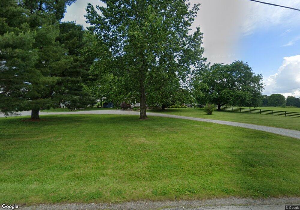
70 Robert Taylor Ln New Haven, KY 40051
Estimated Value: $329,000 - $460,000
3
Beds
2
Baths
2,056
Sq Ft
$189/Sq Ft
Est. Value
About This Home
This home is located at 70 Robert Taylor Ln, New Haven, KY 40051 and is currently estimated at $388,813, approximately $189 per square foot. 70 Robert Taylor Ln is a home located in Nelson County with nearby schools including Nelson County High School.
Ownership History
Date
Name
Owned For
Owner Type
Purchase Details
Closed on
Oct 7, 2016
Sold by
Gordon Kenton E and Gordon Catherine M
Bought by
Hurst David Aaron and Guthrie Katherine A
Current Estimated Value
Home Financials for this Owner
Home Financials are based on the most recent Mortgage that was taken out on this home.
Original Mortgage
$174,250
Outstanding Balance
$139,561
Interest Rate
3.43%
Mortgage Type
New Conventional
Estimated Equity
$249,252
Create a Home Valuation Report for This Property
The Home Valuation Report is an in-depth analysis detailing your home's value as well as a comparison with similar homes in the area
Home Values in the Area
Average Home Value in this Area
Purchase History
| Date | Buyer | Sale Price | Title Company |
|---|---|---|---|
| Hurst David Aaron | $205,000 | Attorney |
Source: Public Records
Mortgage History
| Date | Status | Borrower | Loan Amount |
|---|---|---|---|
| Open | Hurst David Aaron | $174,250 |
Source: Public Records
Tax History Compared to Growth
Tax History
| Year | Tax Paid | Tax Assessment Tax Assessment Total Assessment is a certain percentage of the fair market value that is determined by local assessors to be the total taxable value of land and additions on the property. | Land | Improvement |
|---|---|---|---|---|
| 2024 | $2,971 | $278,000 | $0 | $0 |
| 2023 | $2,971 | $278,000 | $0 | $0 |
| 2022 | $2,266 | $205,000 | $0 | $205,000 |
| 2021 | $2,294 | $205,000 | $0 | $205,000 |
| 2020 | $2,245 | $205,000 | $0 | $205,000 |
| 2019 | $2,353 | $205,000 | $0 | $205,000 |
| 2018 | $2,400 | $205,000 | $0 | $205,000 |
| 2017 | -- | $205,000 | $0 | $205,000 |
| 2016 | -- | $159,310 | $159,310 | $0 |
| 2015 | $1,637 | $159,310 | $159,310 | $0 |
| 2014 | $1,637 | $159,310 | $159,310 | $0 |
| 2012 | $1,637 | $159,310 | $159,310 | $0 |
Source: Public Records
Map
Nearby Homes
- 88 Robert Taylor Ln
- 118 Ritchie Ln
- 200 Nat Rogers Rd
- 1103 Foxfire Rd
- 750 Block Eddie Miles Rd
- 205 Saint Thomas Ct
- 6480 Loretto Rd
- 6515 Loretto Rd
- 103 Bay Ct
- 120 Delaware Ct
- 118 Delaware Ct
- 2920 Nat Rogers Rd
- 248 Maple Ct
- 202 Lakeview Dr
- 272, 277 Hills Place
- 970 Hubbards Ln
- 259,260,26 Sycamore Dr
- 105 Joe Nalley Rd
- 154 & 155 Melody Dr
- 27 Melody Dr
- 160 Robert Taylor Ln
- 165 Robert Taylor Ln
- 135 Robert Taylor Ln
- 105 Robert Taylor Ln
- 230 Robert Taylor Ln
- 120 Robert Taylor Ln
- 231 Robert Taylor Ln
- 551 Balltown Rd
- 5749 New Haven Rd
- 251 Robert Taylor Ln
- 282 Robert Taylor Ln
- 271 Robert Taylor Ln
- 521 Balltown Rd
- 0 Balltown Rd Unit 1287102
- 0 Balltown Rd Unit 2
- 0 Balltown Rd Unit 224175
- 0 Balltown Rd Unit OK183371
- 691 Balltown Rd
- 650 Balltown Rd
- 5685 New Haven Rd
