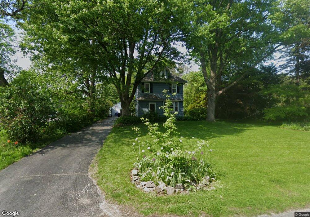
70 Rowland Pkwy Rochester, NY 14610
Estimated Value: $330,693 - $616,000
4
Beds
1
Bath
1,500
Sq Ft
$299/Sq Ft
Est. Value
About This Home
This home is located at 70 Rowland Pkwy, Rochester, NY 14610 and is currently estimated at $448,423, approximately $298 per square foot. 70 Rowland Pkwy is a home located in Monroe County with nearby schools including Council Rock Primary School, French Road Elementary School, and Twelve Corners Middle School.
Ownership History
Date
Name
Owned For
Owner Type
Purchase Details
Closed on
Jul 21, 2005
Sold by
Czudak Trevor
Bought by
Bucci Andrew
Current Estimated Value
Home Financials for this Owner
Home Financials are based on the most recent Mortgage that was taken out on this home.
Original Mortgage
$136,000
Outstanding Balance
$70,672
Interest Rate
5.59%
Mortgage Type
New Conventional
Estimated Equity
$377,751
Purchase Details
Closed on
May 9, 2005
Sold by
Czydak Trevor
Bought by
Dworkin Wendy Lane
Purchase Details
Closed on
Jul 15, 2004
Sold by
Volke Victor E
Bought by
Czudak Trevor
Create a Home Valuation Report for This Property
The Home Valuation Report is an in-depth analysis detailing your home's value as well as a comparison with similar homes in the area
Home Values in the Area
Average Home Value in this Area
Purchase History
| Date | Buyer | Sale Price | Title Company |
|---|---|---|---|
| Bucci Andrew | $170,000 | -- | |
| Dworkin Wendy Lane | $29,000 | T. Mary Mc Donald | |
| Czudak Trevor | $117,500 | -- |
Source: Public Records
Mortgage History
| Date | Status | Borrower | Loan Amount |
|---|---|---|---|
| Open | Bucci Andrew | $136,000 |
Source: Public Records
Tax History Compared to Growth
Tax History
| Year | Tax Paid | Tax Assessment Tax Assessment Total Assessment is a certain percentage of the fair market value that is determined by local assessors to be the total taxable value of land and additions on the property. | Land | Improvement |
|---|---|---|---|---|
| 2024 | $6,385 | $148,900 | $46,500 | $102,400 |
| 2023 | $6,185 | $148,900 | $46,500 | $102,400 |
| 2022 | $6,256 | $148,900 | $46,500 | $102,400 |
| 2021 | $6,152 | $142,200 | $46,500 | $95,700 |
| 2020 | $5,752 | $142,200 | $46,500 | $95,700 |
| 2019 | $7,470 | $167,300 | $46,500 | $120,800 |
| 2018 | $6,168 | $167,300 | $46,500 | $120,800 |
| 2017 | $4,272 | $183,000 | $67,400 | $115,600 |
| 2016 | $7,470 | $183,000 | $67,400 | $115,600 |
| 2015 | -- | $183,000 | $67,400 | $115,600 |
| 2014 | -- | $183,000 | $67,400 | $115,600 |
Source: Public Records
Map
Nearby Homes
- 1390 Clover St
- 101 Thackery Rd
- 794 S Grosvenor Rd
- 2475 Highland Ave
- 2491 Highland Ave
- 152 Trevor Court Rd
- 114 Clovercrest Dr
- 2919 Elmwood Ave
- 932 S Grosvenor Rd
- 2615 East Ave
- 311 San Gabriel Dr
- 2505 East Ave Unit 104
- 2203 East Ave
- 48 Willowdale Dr
- 174 Orchard Dr
- 154 Orchard Dr
- 12 Elmwood Hill Ln
- 245 Nunda Blvd
- 112 San Gabriel Dr
- 74 Elwell Dr
- 80 Rowland Pkwy
- 90 Rowland Pkwy
- 77 Esplanade Dr
- 85 Rowland Pkwy
- 71 Rowland Pkwy
- 59 Rowland Pkwy
- 100 Rowland Pkwy
- 55 Esplanade Dr
- 95 Rowland Pkwy
- 87 Esplanade Dr
- 120 Rowland Pkwy
- 41 Esplanade Dr
- 111 Rowland Pkwy
- 101 Esplanade Dr
- 25 Esplanade Dr
- 125 Rowland Pkwy
- 130 Rowland Pkwy
- 115 Esplanade Dr
- 76 Babcock Dr
- 84 Babcock Dr