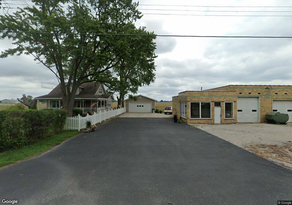
70 S 4th St New Memphis, IL 62266
Estimated Value: $116,000 - $287,000
--
Bed
--
Bath
1,653
Sq Ft
$116/Sq Ft
Est. Value
About This Home
This home is located at 70 S 4th St, New Memphis, IL 62266 and is currently estimated at $191,487, approximately $115 per square foot. 70 S 4th St is a home with nearby schools including Wesclin Middle School and Wesclin Sr High School.
Create a Home Valuation Report for This Property
The Home Valuation Report is an in-depth analysis detailing your home's value as well as a comparison with similar homes in the area
Home Values in the Area
Average Home Value in this Area
Tax History Compared to Growth
Tax History
| Year | Tax Paid | Tax Assessment Tax Assessment Total Assessment is a certain percentage of the fair market value that is determined by local assessors to be the total taxable value of land and additions on the property. | Land | Improvement |
|---|---|---|---|---|
| 2024 | $2,963 | $47,480 | $10,400 | $37,080 |
| 2023 | $2,963 | $45,210 | $9,900 | $35,310 |
| 2022 | $2,895 | $42,650 | $9,340 | $33,310 |
| 2021 | $2,721 | $41,410 | $9,070 | $32,340 |
| 2020 | $2,648 | $39,070 | $8,560 | $30,510 |
| 2019 | $2,646 | $39,070 | $8,560 | $30,510 |
| 2018 | $2,477 | $34,526 | $7,993 | $26,533 |
| 2017 | $2,039 | $33,520 | $7,760 | $25,760 |
| 2016 | $2,024 | $33,520 | $7,760 | $25,760 |
| 2015 | $1,739 | $33,520 | $7,760 | $25,760 |
| 2013 | $1,739 | $33,820 | $7,760 | $26,060 |
Source: Public Records
Map
Nearby Homes
- 4810 Airport Rd
- 228 Walnut
- 244 Walnut
- 308 W Indiana St
- 111 E Poos Dr
- 204 W Poos Dr
- 91 Weatherholt Dr
- 10971 Platinum Ln
- 5929 Highbanks Rd
- 51 S Brockschmidt Rd
- 414 Turquoise Ct
- 847 Topaz Ct
- 841 Topaz Ct
- 108 E Main St
- 633 Moorland Cir
- 3 W Patterson St
- 25 W Oak St
- 57 W Patterson St
- 118 W Green St
- 38 Cheryl Dr