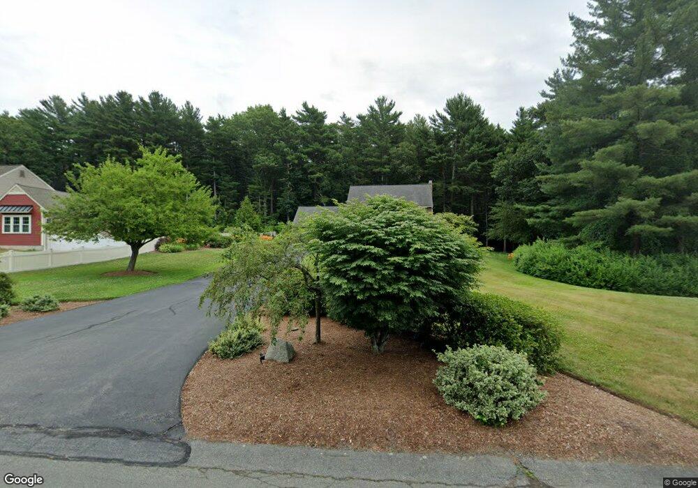
70 Sachem Rock Ave East Bridgewater, MA 02333
Estimated Value: $720,274 - $813,000
4
Beds
3
Baths
2,380
Sq Ft
$326/Sq Ft
Est. Value
About This Home
This home is located at 70 Sachem Rock Ave, East Bridgewater, MA 02333 and is currently estimated at $776,069, approximately $326 per square foot. 70 Sachem Rock Ave is a home located in Plymouth County with nearby schools including Central Elementary School, Gordon W Mitchell Middle School, and East Bridgewater Jr./Sr. High School.
Ownership History
Date
Name
Owned For
Owner Type
Purchase Details
Closed on
Feb 22, 1988
Sold by
Sachem Rock Bldrs
Bought by
Pelletier George J
Current Estimated Value
Home Financials for this Owner
Home Financials are based on the most recent Mortgage that was taken out on this home.
Original Mortgage
$153,100
Interest Rate
10.45%
Mortgage Type
Purchase Money Mortgage
Create a Home Valuation Report for This Property
The Home Valuation Report is an in-depth analysis detailing your home's value as well as a comparison with similar homes in the area
Home Values in the Area
Average Home Value in this Area
Purchase History
| Date | Buyer | Sale Price | Title Company |
|---|---|---|---|
| Pelletier George J | $247,106 | -- |
Source: Public Records
Mortgage History
| Date | Status | Borrower | Loan Amount |
|---|---|---|---|
| Open | Pelletier George J | $210,000 | |
| Closed | Pelletier George J | $221,440 | |
| Closed | Pelletier George J | $151,000 | |
| Closed | Pelletier George J | $153,100 |
Source: Public Records
Tax History Compared to Growth
Tax History
| Year | Tax Paid | Tax Assessment Tax Assessment Total Assessment is a certain percentage of the fair market value that is determined by local assessors to be the total taxable value of land and additions on the property. | Land | Improvement |
|---|---|---|---|---|
| 2025 | $8,679 | $634,900 | $237,000 | $397,900 |
| 2024 | $8,453 | $610,800 | $227,900 | $382,900 |
| 2023 | $8,274 | $572,600 | $227,900 | $344,700 |
| 2022 | $7,908 | $506,900 | $198,600 | $308,300 |
| 2021 | $7,734 | $453,600 | $190,800 | $262,800 |
| 2020 | $7,544 | $436,300 | $183,500 | $252,800 |
| 2019 | $7,368 | $419,600 | $175,400 | $244,200 |
| 2018 | $7,182 | $399,900 | $175,400 | $224,500 |
| 2017 | $6,978 | $381,300 | $167,300 | $214,000 |
| 2016 | $6,775 | $373,100 | $167,300 | $205,800 |
| 2015 | $6,406 | $360,700 | $158,900 | $201,800 |
| 2014 | $6,149 | $354,000 | $155,500 | $198,500 |
Source: Public Records
Map
Nearby Homes
- 121 South St
- 455 Plymouth St
- 261 Plymouth St
- 590 Bedford St
- 52 Cottage St
- 391 Bedford St
- 12 Bridge St
- 587 Bridge St
- 26 Meadowbrook Dr
- 0 Three Rivers Dr
- 827 High St
- 28 Brookbend Way E
- 78 Crystal Water Dr
- 71 Church St
- 182 Crystal Water Dr Unit 182
- 217 Crystal Water Dr
- 81 Arrowhead Dr
- 201 Comfort St
- 282 Spring St
- 36 Michael Rd
- 60 Sachem Rock Ave
- 75 Sachem Rock Ave
- 50 Sachem Rock Ave
- 65 Sachem Rock Ave
- 55 Sachem Rock Ave
- 5 Arrow Path
- 45 Sachem Rock Ave
- 40 Sachem Rock Ave
- 10 Arrow Path
- 3 Satucket Ave
- 95 Sachem Rock Ave
- 30 Sachem Rock Ave
- 45 Satucket Ave
- 35 Satucket Ave
- 35 Satucket Ave Unit 1375
- 55 Satucket Ave
- 15 Careys Landing
- 15 Arrow Path
- 25 Careys Landing
- 10 Satucket Ave