70 Sands Rd Eastham, MA 02642
Estimated Value: $613,598 - $728,000
3
Beds
1
Bath
960
Sq Ft
$694/Sq Ft
Est. Value
About This Home
This home is located at 70 Sands Rd, Eastham, MA 02642 and is currently estimated at $666,650, approximately $694 per square foot. 70 Sands Rd is a home located in Barnstable County with nearby schools including Eastham Elementary School, Nauset Regional Middle School, and Nauset Regional High School.
Create a Home Valuation Report for This Property
The Home Valuation Report is an in-depth analysis detailing your home's value as well as a comparison with similar homes in the area
Home Values in the Area
Average Home Value in this Area
Tax History
| Year | Tax Paid | Tax Assessment Tax Assessment Total Assessment is a certain percentage of the fair market value that is determined by local assessors to be the total taxable value of land and additions on the property. | Land | Improvement |
|---|---|---|---|---|
| 2025 | $3,743 | $485,500 | $293,800 | $191,700 |
| 2024 | $3,304 | $471,300 | $285,200 | $186,100 |
| 2023 | $3,086 | $426,300 | $264,100 | $162,200 |
| 2022 | $3,023 | $352,300 | $235,800 | $116,500 |
| 2021 | $5,899 | $320,200 | $214,300 | $105,900 |
| 2020 | $3,334 | $317,900 | $218,700 | $99,200 |
| 2019 | $3,714 | $308,700 | $212,400 | $96,300 |
| 2018 | $2,507 | $300,200 | $206,200 | $94,000 |
| 2017 | $2,325 | $294,300 | $202,100 | $92,200 |
| 2016 | $2,178 | $292,700 | $202,100 | $90,600 |
| 2015 | $2,033 | $286,300 | $198,200 | $88,100 |
Source: Public Records
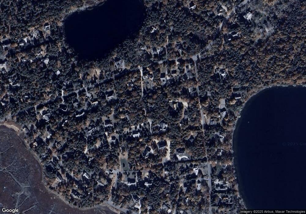
Map
Nearby Homes
- 20 Billingsgate Ave
- 10 Cartway N
- 600 Kingsbury Beach Rd
- 55 Grandfathers Way
- 2705 State Hwy
- 2705 State Hwy Unit 1-8
- 330 Hay Rd
- 82 Old Orchard Rd
- 40 Bayview Rd
- 1061 State Hwy Unit 4
- 1061 State Hwy Unit 1061
- 300 School House Rd
- 25 Twin Rocks Dr
- 70 Deerfield Ln
- 20 Kittiwake Ln
- 255 Massasoit Rd
- 25 Forrest Ave
- 339 Dyer Prince Rd
- 315 Candlewood Dr
- 320 State Hwy
Your Personal Tour Guide
Ask me questions while you tour the home.