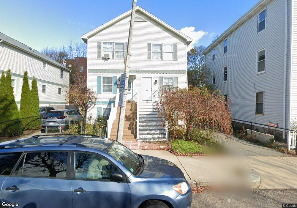
70 Savin St Roxbury, MA 02119
Sav-Mor NeighborhoodEstimated Value: $581,000 - $645,039
3
Beds
3
Baths
1,760
Sq Ft
$352/Sq Ft
Est. Value
About This Home
This home is located at 70 Savin St, Roxbury, MA 02119 and is currently estimated at $620,260, approximately $352 per square foot. 70 Savin St is a home located in Suffolk County with nearby schools including Bridge Boston Charter School, Uncommon Schools Roxbury Prep Dorchester Campus, and Mother Caroline Academy & Education Center.
Ownership History
Date
Name
Owned For
Owner Type
Purchase Details
Closed on
Apr 8, 2024
Sold by
Frith Franklyn L and Frith Delores
Bought by
70 Savin Street Rt and Frith
Current Estimated Value
Purchase Details
Closed on
May 19, 2004
Sold by
Fowler Ted and Fowler Jolan
Bought by
Frith Franklyn and Frith Delores
Home Financials for this Owner
Home Financials are based on the most recent Mortgage that was taken out on this home.
Original Mortgage
$227,150
Interest Rate
5.75%
Mortgage Type
Purchase Money Mortgage
Create a Home Valuation Report for This Property
The Home Valuation Report is an in-depth analysis detailing your home's value as well as a comparison with similar homes in the area
Home Values in the Area
Average Home Value in this Area
Purchase History
| Date | Buyer | Sale Price | Title Company |
|---|---|---|---|
| 70 Savin Street Rt | -- | None Available | |
| Frith Franklyn | $295,000 | -- |
Source: Public Records
Mortgage History
| Date | Status | Borrower | Loan Amount |
|---|---|---|---|
| Previous Owner | Frith Franklyn | $227,150 | |
| Previous Owner | Frith Franklyn | $59,000 | |
| Previous Owner | Frith Franklyn | $7,665 | |
| Previous Owner | Frith Franklyn | $228,900 |
Source: Public Records
Tax History
| Year | Tax Paid | Tax Assessment Tax Assessment Total Assessment is a certain percentage of the fair market value that is determined by local assessors to be the total taxable value of land and additions on the property. | Land | Improvement |
|---|---|---|---|---|
| 2025 | $7,233 | $624,600 | $0 | $624,600 |
| 2024 | $6,229 | $571,500 | $0 | $571,500 |
| 2023 | $5,901 | $549,400 | $0 | $549,400 |
| 2022 | $5,694 | $523,300 | $0 | $523,300 |
| 2021 | $5,380 | $504,200 | $0 | $504,200 |
| 2020 | $4,381 | $414,900 | $0 | $414,900 |
| 2019 | $3,976 | $377,200 | $0 | $377,200 |
| 2018 | $3,593 | $342,800 | $0 | $342,800 |
| 2017 | $3,392 | $320,300 | $0 | $320,300 |
| 2016 | $3,292 | $299,300 | $0 | $299,300 |
| 2015 | $2,872 | $237,200 | $0 | $237,200 |
| 2014 | $2,332 | $185,400 | $0 | $185,400 |
Source: Public Records
Map
Nearby Homes
- 75 Savin St
- 12 Weldon St
- 8 Weldon St
- 17 Maywood St
- 15 Maywood St
- 23 Lawrence Ave
- 340 Blue Hill Ave
- 35 Cunningham St
- 96-98 Woodledge St
- 91 Howard Ave
- 362 Blue Hill Ave
- 45 Brookford St
- 50 Clifford St
- 47 Sargent St Unit 3
- 18 Sargent St Unit B
- 7 Waumbeck St Unit 2
- 52 Intervale St
- 133 Blue Hill Ave
- 40 Devon St Unit 3
- 22 Alaska St
- 72 Savin St
- 74 Savin St
- 74 Savin St Unit 1
- 66 Savin St
- 76 Savin St
- 68 Savin St
- 68 Savin St Unit 68
- 68 Savin St Unit 68,68
- 73 Maywood St
- 73 Maywood St Unit 3
- 73 Maywood St Unit 2
- 73 Maywood St Unit 1
- 71 Maywood St
- 75 Maywood St
- 69 Maywood St
- 69 Maywood St Unit 1
- 77 Savin St
- 77 Savin St Unit 3
- 77 Savin St Unit 1
- 77 Savin St Unit 2
Your Personal Tour Guide
Ask me questions while you tour the home.