70 Shamrock Path Acworth, GA 30101
Cedarcrest NeighborhoodEstimated Value: $357,000 - $413,285
4
Beds
3
Baths
3,276
Sq Ft
$121/Sq Ft
Est. Value
About This Home
This home is located at 70 Shamrock Path, Acworth, GA 30101 and is currently estimated at $394,821, approximately $120 per square foot. 70 Shamrock Path is a home located in Paulding County with nearby schools including Roland W. Russom Elementary School, East Paulding Middle School, and North Paulding High School.
Ownership History
Date
Name
Owned For
Owner Type
Purchase Details
Closed on
Jan 7, 2022
Sold by
Bland Kristen
Bought by
Bland Gabriel and Tebeest Allison
Current Estimated Value
Purchase Details
Closed on
Jul 12, 1999
Sold by
Parodi Kristen
Bought by
Parodi Kristen A and Parodi Vance M
Home Financials for this Owner
Home Financials are based on the most recent Mortgage that was taken out on this home.
Original Mortgage
$131,250
Interest Rate
7.66%
Mortgage Type
New Conventional
Create a Home Valuation Report for This Property
The Home Valuation Report is an in-depth analysis detailing your home's value as well as a comparison with similar homes in the area
Home Values in the Area
Average Home Value in this Area
Purchase History
| Date | Buyer | Sale Price | Title Company |
|---|---|---|---|
| Bland Gabriel | $250,000 | -- | |
| Bland Gabriel | $250,000 | -- | |
| Parodi Kristen A | -- | -- |
Source: Public Records
Mortgage History
| Date | Status | Borrower | Loan Amount |
|---|---|---|---|
| Previous Owner | Parodi Kristen A | $131,250 |
Source: Public Records
Tax History Compared to Growth
Tax History
| Year | Tax Paid | Tax Assessment Tax Assessment Total Assessment is a certain percentage of the fair market value that is determined by local assessors to be the total taxable value of land and additions on the property. | Land | Improvement |
|---|---|---|---|---|
| 2024 | $3,380 | $139,100 | $21,280 | $117,820 |
| 2023 | $3,451 | $134,904 | $20,760 | $114,144 |
| 2022 | $3,133 | $122,060 | $16,680 | $105,380 |
| 2021 | $2,755 | $94,812 | $14,120 | $80,692 |
| 2020 | $2,573 | $86,648 | $14,120 | $72,528 |
| 2019 | $2,517 | $83,540 | $13,440 | $70,100 |
| 2018 | $1,945 | $64,552 | $10,920 | $53,632 |
| 2017 | $1,837 | $60,124 | $10,480 | $49,644 |
| 2016 | $1,478 | $48,888 | $9,840 | $39,048 |
| 2015 | $1,363 | $44,296 | $9,560 | $34,736 |
| 2014 | $1,315 | $41,644 | $8,640 | $33,004 |
| 2013 | -- | $36,880 | $9,440 | $27,440 |
Source: Public Records
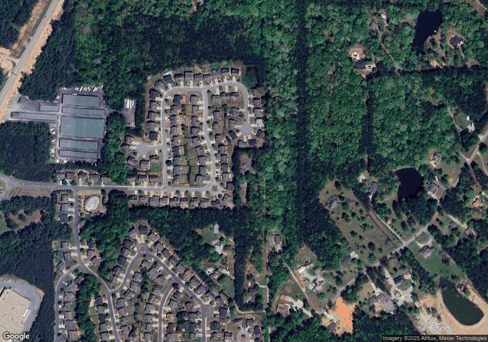
Map
Nearby Homes
- 8535 Hiram Acworth Hwy
- 8461 Hiram Acworth Hwy
- 107 Quail Run
- 645 Old Dallas Acworth Rd N
- 130 Summerfield Ct
- 115 Hickory Creek Ln
- 63 Hickory Creek Ln
- 91 Hickory Creek Ln
- 214 Elivia Way
- 213 Elivia Way
- 195 Maplelake Dr
- 241 Cedarcrest Rd
- 174 Foxtail Pass
- 36 Battle Gate Ln
- 687 Belmont Ln
- 110 Fallow Ln
- 45 Fallow Ln
- 320 Royal Sunset Dr
- 326 Royal Sunset Dr Unit 47
- 326 Royal Sunset Dr
- 316 Royal Sunset Dr
- 334 Royal Sunset Dr
- 346 Royal Sunset Dr
- 267 Mary Wallace Way
- 268 Mary Wallace Way
- 312 Royal Sunset Dr
- 358 Royal Sunset Dr
- 263 Mary Wallace Way
- 264 Mary Wallace Way
- 331 Royal Sunset Dr
- 311 Royal Sunset Dr
- 302 Royal Sunset Dr
- 372 Royal Sunset Dr
- 349 Royal Sunset Dr
- 290 Royal Sunset Dr
- 357 Cheatham Rd
- 257 Mary Wallace Way