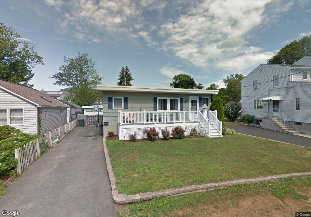
70 Shell Ave Milford, CT 06460
Downtown Milford NeighborhoodEstimated Value: $444,000 - $673,000
2
Beds
2
Baths
1,394
Sq Ft
$400/Sq Ft
Est. Value
About This Home
This home is located at 70 Shell Ave, Milford, CT 06460 and is currently estimated at $557,470, approximately $399 per square foot. 70 Shell Ave is a home located in New Haven County with nearby schools including Meadowside School, West Shore Middle School, and Jonathan Law High School.
Ownership History
Date
Name
Owned For
Owner Type
Purchase Details
Closed on
Jun 18, 2003
Sold by
Passaro Michael
Bought by
Mongillo Robin
Current Estimated Value
Home Financials for this Owner
Home Financials are based on the most recent Mortgage that was taken out on this home.
Original Mortgage
$154,000
Outstanding Balance
$67,117
Interest Rate
5.71%
Estimated Equity
$490,353
Purchase Details
Closed on
Mar 12, 1998
Sold by
Viscount Thomas A
Bought by
Passaro Michael and Mongillo Robin
Home Financials for this Owner
Home Financials are based on the most recent Mortgage that was taken out on this home.
Original Mortgage
$117,000
Interest Rate
7.03%
Mortgage Type
Unknown
Create a Home Valuation Report for This Property
The Home Valuation Report is an in-depth analysis detailing your home's value as well as a comparison with similar homes in the area
Home Values in the Area
Average Home Value in this Area
Purchase History
| Date | Buyer | Sale Price | Title Company |
|---|---|---|---|
| Mongillo Robin | $57,000 | -- | |
| Mongillo Robin | $57,000 | -- | |
| Passaro Michael | $130,000 | -- | |
| Passaro Michael | $130,000 | -- |
Source: Public Records
Mortgage History
| Date | Status | Borrower | Loan Amount |
|---|---|---|---|
| Open | Passaro Michael | $154,000 | |
| Closed | Passaro Michael | $154,000 | |
| Previous Owner | Passaro Michael | $117,000 |
Source: Public Records
Tax History
| Year | Tax Paid | Tax Assessment Tax Assessment Total Assessment is a certain percentage of the fair market value that is determined by local assessors to be the total taxable value of land and additions on the property. | Land | Improvement |
|---|---|---|---|---|
| 2025 | $10,183 | $344,600 | $200,490 | $144,110 |
| 2024 | $10,042 | $344,600 | $200,490 | $144,110 |
| 2023 | $9,363 | $344,600 | $200,490 | $144,110 |
| 2022 | $9,027 | $338,740 | $200,490 | $138,250 |
| 2021 | $7,979 | $288,580 | $170,690 | $117,890 |
| 2020 | $7,988 | $288,580 | $170,690 | $117,890 |
| 2019 | $7,997 | $288,580 | $170,690 | $117,890 |
| 2018 | $8,005 | $288,580 | $170,690 | $117,890 |
| 2017 | $8,494 | $305,640 | $187,750 | $117,890 |
| 2016 | $4,675 | $167,910 | $142,240 | $25,670 |
| 2015 | $6,052 | $217,070 | $142,240 | $74,830 |
| 2014 | $5,909 | $217,070 | $142,240 | $74,830 |
Source: Public Records
Map
Nearby Homes
- 12 Caroline St
- 23 Charles St
- 52 Elder St
- 139 Rogers Ave
- 30 Kinlock St
- 47 James St
- 76 Meadowside Rd
- 9 Cooper Ave
- 38 Wayland Rd
- 62 Robert Treat Pkwy
- 13 Dock Rd
- 308 Meadowside Rd Unit 202
- 308 Meadowside Rd Unit 311
- 35 Point Lookout
- 26 Hill St
- 146 High St Unit 102
- 146 High St Unit 303
- 663 West Ave Unit A22
- 299 W Main St
- 279 New Haven Ave Unit E
Your Personal Tour Guide
Ask me questions while you tour the home.