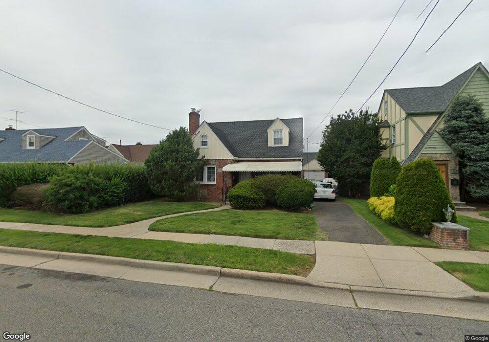
70 Spencer Place Hempstead, NY 11550
Estimated Value: $566,169 - $624,000
--
Bed
2
Baths
1,175
Sq Ft
$506/Sq Ft
Est. Value
About This Home
This home is located at 70 Spencer Place, Hempstead, NY 11550 and is currently estimated at $595,085, approximately $506 per square foot. 70 Spencer Place is a home located in Nassau County with nearby schools including Northern Parkway Elementary School, Lawrence Road Middle School, and Uniondale High School.
Ownership History
Date
Name
Owned For
Owner Type
Purchase Details
Closed on
Jun 27, 2006
Sold by
Pierre Jean
Bought by
Gibbs Harold
Current Estimated Value
Purchase Details
Closed on
Sep 21, 1999
Sold by
Mallard Ricky and Mallard Marjorie
Bought by
Pierre Jean E and Pierre Janice Gray
Home Financials for this Owner
Home Financials are based on the most recent Mortgage that was taken out on this home.
Original Mortgage
$167,200
Interest Rate
7.81%
Mortgage Type
Purchase Money Mortgage
Create a Home Valuation Report for This Property
The Home Valuation Report is an in-depth analysis detailing your home's value as well as a comparison with similar homes in the area
Home Values in the Area
Average Home Value in this Area
Purchase History
| Date | Buyer | Sale Price | Title Company |
|---|---|---|---|
| Gibbs Harold | $404,255 | -- | |
| Pierre Jean E | $176,000 | First American Title Ins Co |
Source: Public Records
Mortgage History
| Date | Status | Borrower | Loan Amount |
|---|---|---|---|
| Previous Owner | Pierre Jean E | $167,200 |
Source: Public Records
Tax History Compared to Growth
Tax History
| Year | Tax Paid | Tax Assessment Tax Assessment Total Assessment is a certain percentage of the fair market value that is determined by local assessors to be the total taxable value of land and additions on the property. | Land | Improvement |
|---|---|---|---|---|
| 2025 | $5,796 | $333 | $124 | $209 |
| 2024 | $834 | $333 | $124 | $209 |
| 2023 | $4,719 | $333 | $124 | $209 |
| 2022 | $4,719 | $333 | $124 | $209 |
| 2021 | $4,901 | $336 | $125 | $211 |
| 2020 | $3,590 | $387 | $386 | $1 |
| 2019 | $3,173 | $414 | $398 | $16 |
| 2018 | $3,250 | $442 | $0 | $0 |
| 2017 | $2,750 | $469 | $318 | $151 |
| 2016 | $3,570 | $626 | $425 | $201 |
| 2015 | $1,048 | $626 | $425 | $201 |
| 2014 | $1,048 | $626 | $425 | $201 |
| 2013 | $970 | $626 | $425 | $201 |
Source: Public Records
Map
Nearby Homes
- 78 Spencer Place
- 106 Spencer Place
- 355 Jerusalem Ave
- 183 Perry St
- 33 Elmwood Ave
- 199 William St
- 403 Jerusalem Ave
- 203 Rutland Rd
- 7 Stanley Place
- 178 Rutland Rd
- 110 Powell Place
- 66 Elmwood Ave
- 109 Leverich St
- 112 Rutland Rd
- 72 Ingraham Blvd
- 41 Perry St
- 59 Ingraham Blvd
- 111 Jean Ave
- 18 Perry St
- 363 Clarendon Rd
- 66 Spencer Place
- 89 Lucille St
- 113 Clermont Ave
- 62 Spencer Place
- 119 Clermont Ave
- 109 Clermont Ave
- 81 Lucille St
- 105 Clermont Ave
- 56 Spencer Place
- 99 Lucille St
- 71 Spencer Place
- 67 Spencer Place
- 99 Clermont Ave
- 61 Spencer Place
- 103 Lucille St
- 57 Spencer Place
- 92 Lucille St
- 86 Lucille St
- 46 Spencer Place
- 128 Cedar St