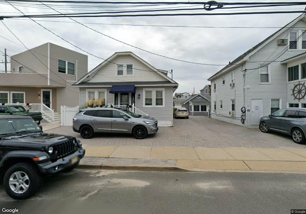
70 Stockton Ave Unit 72 Seaside Park, NJ 08752
Estimated Value: $782,225 - $945,000
4
Beds
2
Baths
1,677
Sq Ft
$520/Sq Ft
Est. Value
About This Home
This home is located at 70 Stockton Ave Unit 72, Seaside Park, NJ 08752 and is currently estimated at $872,056, approximately $520 per square foot. 70 Stockton Ave Unit 72 is a home located in Ocean County with nearby schools including Central Regional Middle School and Central Regional High School.
Ownership History
Date
Name
Owned For
Owner Type
Purchase Details
Closed on
Apr 1, 2019
Sold by
The Szostek Family Llc
Bought by
Fusco Ann and Fusco Louis
Current Estimated Value
Purchase Details
Closed on
Mar 31, 2004
Sold by
Szostek John and Szostek Joanne M
Bought by
The Szostek Family Llc
Purchase Details
Closed on
Feb 11, 1994
Sold by
Cappetta Gary
Bought by
Szostek John and Szostek Joanne
Home Financials for this Owner
Home Financials are based on the most recent Mortgage that was taken out on this home.
Original Mortgage
$93,000
Interest Rate
6.9%
Create a Home Valuation Report for This Property
The Home Valuation Report is an in-depth analysis detailing your home's value as well as a comparison with similar homes in the area
Home Values in the Area
Average Home Value in this Area
Purchase History
| Date | Buyer | Sale Price | Title Company |
|---|---|---|---|
| Fusco Ann | $146,000 | None Available | |
| The Szostek Family Llc | -- | None Available | |
| Szostek John | $125,000 | -- |
Source: Public Records
Mortgage History
| Date | Status | Borrower | Loan Amount |
|---|---|---|---|
| Previous Owner | Szostek John | $93,000 |
Source: Public Records
Tax History Compared to Growth
Tax History
| Year | Tax Paid | Tax Assessment Tax Assessment Total Assessment is a certain percentage of the fair market value that is determined by local assessors to be the total taxable value of land and additions on the property. | Land | Improvement |
|---|---|---|---|---|
| 2025 | $7,004 | $428,100 | $290,000 | $138,100 |
| 2024 | $6,888 | $428,100 | $290,000 | $138,100 |
| 2023 | $6,644 | $428,100 | $290,000 | $138,100 |
| 2022 | $6,644 | $428,100 | $290,000 | $138,100 |
| 2021 | $6,503 | $428,100 | $290,000 | $138,100 |
| 2020 | $6,434 | $428,100 | $290,000 | $138,100 |
| 2019 | $6,366 | $428,100 | $290,000 | $138,100 |
| 2018 | $5,951 | $428,100 | $290,000 | $138,100 |
| 2017 | $6,040 | $428,100 | $290,000 | $138,100 |
| 2016 | $5,617 | $428,100 | $290,000 | $138,100 |
| 2015 | $5,861 | $428,100 | $290,000 | $138,100 |
| 2014 | $5,600 | $428,100 | $290,000 | $138,100 |
Source: Public Records
Map
Nearby Homes
- 1912 Boulevard
- 1 Boulevard Unit G
- 3 E Central Ave
- 119 Dupont Ave Unit 10
- 1614-1618 Ocean Blvd Unit 18
- 45-55 Dupont Ave
- 111 Dupont Ave
- 57 Dupont Ave
- 235 Bay Terrace Unit A
- 235A Bay Terrace Unit A
- 121 Lincoln Ave Unit 25
- 125 Lincoln Ave
- 1409 NE Central Ave
- 105 O St
- 43 Lincoln Ave
- 47 Lincoln Ave Unit Pic your finish colo
- 25 O St
- 30 N St
- 134 Franklin Ave
- 8 Bay Blvd Unit 1
- 74 Stockton Ave
- 66 Stockton Ave
- 62 Stockton Ave
- 1810 NE Central Ave
- 1800 NE Central Ave Unit 2
- 71 Stockton Ave
- 67 Stockton Ave
- 75 Stockton Ave
- 60 Stockton Ave
- 1812 NE Central Ave Unit 2F
- 1812 NE Central Ave Unit 1B
- 1812 NE Central Ave Unit 1A
- 1812 NE Central Ave
- 1712 NE Central Ave
- 71 Farragut Ave
- 67 Farragut Ave
- 1713 Boulevard Unit 4
- 1713 Boulevard Unit 19
- 1713 Boulevard Unit 19
- 1713 Boulevard Unit 19