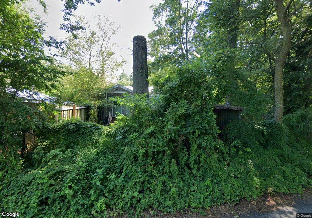
70 Sunset Ln Ellijay, GA 30536
Estimated Value: $274,000 - $356,000
2
Beds
1
Bath
1,207
Sq Ft
$262/Sq Ft
Est. Value
About This Home
This home is located at 70 Sunset Ln, Ellijay, GA 30536 and is currently estimated at $316,674, approximately $262 per square foot. 70 Sunset Ln is a home located in Gilmer County with nearby schools including Ellijay Elementary School, Clear Creek Elementary School, and Clear Creek Middle School.
Ownership History
Date
Name
Owned For
Owner Type
Purchase Details
Closed on
Jan 10, 2022
Sold by
Eldred Alizsha
Bought by
Eldred Shawn and Eldred Alizsha
Current Estimated Value
Home Financials for this Owner
Home Financials are based on the most recent Mortgage that was taken out on this home.
Original Mortgage
$160,000
Outstanding Balance
$146,855
Interest Rate
3.11%
Mortgage Type
Cash
Estimated Equity
$169,819
Purchase Details
Closed on
Jun 30, 2003
Sold by
Garrett Brain C and Garrett Br
Bought by
O'Connor Otis
Purchase Details
Closed on
Aug 4, 1999
Sold by
6Aulson Golria Marie
Bought by
Garrett Brain C and Garrett Br
Create a Home Valuation Report for This Property
The Home Valuation Report is an in-depth analysis detailing your home's value as well as a comparison with similar homes in the area
Home Values in the Area
Average Home Value in this Area
Purchase History
| Date | Buyer | Sale Price | Title Company |
|---|---|---|---|
| Eldred Shawn | -- | -- | |
| Eldred Shawn | -- | -- | |
| O'Connor Otis | $55,000 | -- | |
| Garrett Brain C | $175,000 | -- |
Source: Public Records
Mortgage History
| Date | Status | Borrower | Loan Amount |
|---|---|---|---|
| Open | Eldred Shawn | $160,000 |
Source: Public Records
Tax History Compared to Growth
Tax History
| Year | Tax Paid | Tax Assessment Tax Assessment Total Assessment is a certain percentage of the fair market value that is determined by local assessors to be the total taxable value of land and additions on the property. | Land | Improvement |
|---|---|---|---|---|
| 2025 | $1,518 | $122,212 | $10,840 | $111,372 |
| 2024 | $1,518 | $111,852 | $7,920 | $103,932 |
| 2023 | $1,564 | $111,492 | $7,560 | $103,932 |
| 2022 | $1,417 | $90,292 | $7,560 | $82,732 |
| 2021 | $1,255 | $69,092 | $4,640 | $64,452 |
| 2020 | $1,033 | $50,844 | $4,520 | $46,324 |
| 2019 | $1,064 | $50,844 | $4,520 | $46,324 |
| 2018 | $1,047 | $45,632 | $4,520 | $41,112 |
| 2017 | $904 | $36,752 | $4,520 | $32,232 |
| 2016 | $936 | $37,272 | $4,520 | $32,752 |
| 2015 | $802 | $32,512 | $2,760 | $29,752 |
| 2014 | $691 | $26,960 | $2,760 | $24,200 |
| 2013 | -- | $28,080 | $2,760 | $25,320 |
Source: Public Records
Map
Nearby Homes
- 0 John Call Rd
- 2089 John Call Rd
- 431 Clear Creek Rd
- 00 Wildwood Trail
- 1907 John Call Rd
- 152 Wendy Hill Rd
- 306 Cripple Creek Ln
- 270 Milford Trail
- 409 Owensby Mill Dr
- 449 Owensby Mill Dr
- 0 Yukon Rd Unit 7507385
- 0 Yukon Rd Unit 10442733
- 0 John Call Rd Unit 10646302
- 0 John Call Rd Unit 420371
- 0 John Call Rd Unit 7683545
- 0 Old Pleasant Valley Rd Unit 7671835
- 0 Old Pleasant Valley Rd Unit 10622779
- L349 the Vineyard at Yukon
- 00 Yukon Rd
- 201 Talona Lake Terrace
- 18 Hal Ponder Rd
- 100 Hal Ponder Rd
- 361 John Call Rd
- 474 John Call Rd
- 0 Dogwood Rd Unit 7100490
- 249 Sunset Ln
- 45A Dogwood Rd
- 140 Dogwood Rd
- 179 Hal Ponder Rd
- 235 Schmidt Rd
- 217 John Call Rd
- 170 Dogwood Rd
- 170 Dogwood Rd
- 214 John Call Rd
- 164 Dogwood Rd
- 201 Dogwood Rd
- 114 Schmidt Rd
- 119 Schmidt Rd
- 209 Dogwood Rd
- 132 John Call Rd
