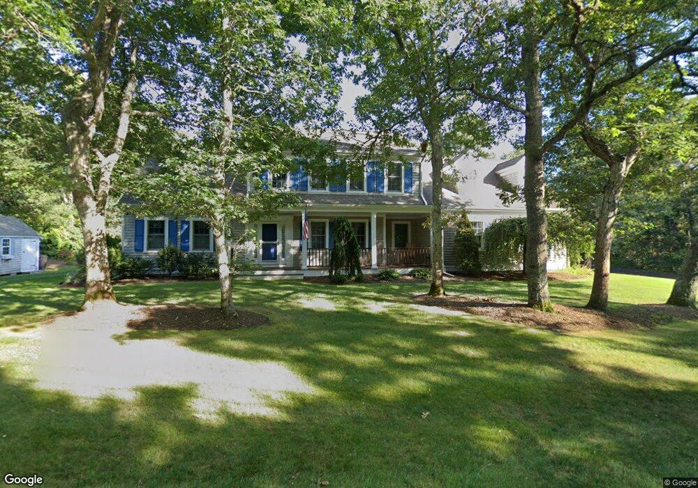
70 Tanglewood Rd Brewster, MA 2631
Estimated Value: $1,210,000 - $1,305,000
3
Beds
3
Baths
2,730
Sq Ft
$458/Sq Ft
Est. Value
About This Home
This home is located at 70 Tanglewood Rd, Brewster, MA 2631 and is currently estimated at $1,250,572, approximately $458 per square foot. 70 Tanglewood Rd is a home located in Barnstable County with nearby schools including Stony Brook Elementary School, Eddy Elementary School, and Nauset Regional Middle School.
Ownership History
Date
Name
Owned For
Owner Type
Purchase Details
Closed on
Mar 22, 2023
Sold by
Greene Jane C
Bought by
Greene Ft
Current Estimated Value
Purchase Details
Closed on
Dec 20, 2018
Sold by
Greene Ft
Bought by
Greene Jane C
Purchase Details
Closed on
Apr 4, 2011
Sold by
Greene William and Greene Jane
Bought by
Greene Ft
Purchase Details
Closed on
Sep 10, 2004
Sold by
Pligavko Barbara C
Bought by
Greene Jane and Greene William
Create a Home Valuation Report for This Property
The Home Valuation Report is an in-depth analysis detailing your home's value as well as a comparison with similar homes in the area
Home Values in the Area
Average Home Value in this Area
Purchase History
| Date | Buyer | Sale Price | Title Company |
|---|---|---|---|
| Greene Ft | -- | None Available | |
| Greene Jane C | -- | -- | |
| Greene Ft | -- | -- | |
| Greene Jane | $269,000 | -- |
Source: Public Records
Tax History
| Year | Tax Paid | Tax Assessment Tax Assessment Total Assessment is a certain percentage of the fair market value that is determined by local assessors to be the total taxable value of land and additions on the property. | Land | Improvement |
|---|---|---|---|---|
| 2025 | $7,924 | $1,151,700 | $320,100 | $831,600 |
| 2024 | $7,466 | $1,096,300 | $302,000 | $794,300 |
| 2023 | $6,851 | $980,100 | $269,600 | $710,500 |
| 2022 | $6,837 | $870,900 | $224,600 | $646,300 |
| 2021 | $6,571 | $765,800 | $195,200 | $570,600 |
| 2020 | $6,424 | $745,200 | $195,200 | $550,000 |
| 2019 | $6,162 | $718,200 | $187,800 | $530,400 |
| 2018 | $5,815 | $704,000 | $187,800 | $516,200 |
| 2017 | $5,420 | $646,000 | $187,800 | $458,200 |
| 2016 | $5,271 | $625,300 | $196,400 | $428,900 |
| 2015 | $5,086 | $615,700 | $192,500 | $423,200 |
Source: Public Records
Map
Nearby Homes
- 340 Greenland Pond Rd
- 39 Spruce Run Dr
- 958 Long Pond Rd
- 61 Sheffield Rd
- 58 Old Chatham Rd
- 337 Jonathans Way
- 157 Jonathans Way
- 236 Freemans Way
- 0 Old Long Pond Rd
- 296 Commons Way
- 235 Old Chatham Rd
- 274 Commons Way
- 35 Leona Terrace
- 737 Thousand Oaks Dr
- 210 Billington Ln Unit 210
- 106 Eaton Ln Unit 106E
- 10 Brian Way
- 0 Old Chatham Rd
- 142 Yankee Dr
- 36 Lakewood Dr
- 84 Tanglewood Rd
- 88 Long Pond Cir
- 65 Captain Baker Rd
- 0 Captain Baker Rd
- 81 Tanglewood Rd
- 63 Tanglewood Rd
- 8 Captain Baker Rd
- 60 Long Pond Cir
- 16 Captain Baker Rd
- 97 Tanglewood Rd
- 44 Long Pond Cir
- 102 Tanglewood Rd
- 34 Captain Baker Rd
- 23 Captain Young Way
- 44 Tanglewood Rd
- 31 Long Pond Cir
- 26 Captain Young Way
- 776 Crowells Bog Rd
- 0 Long Pond Cir
- 41 Captain Baker Rd
Your Personal Tour Guide
Ask me questions while you tour the home.