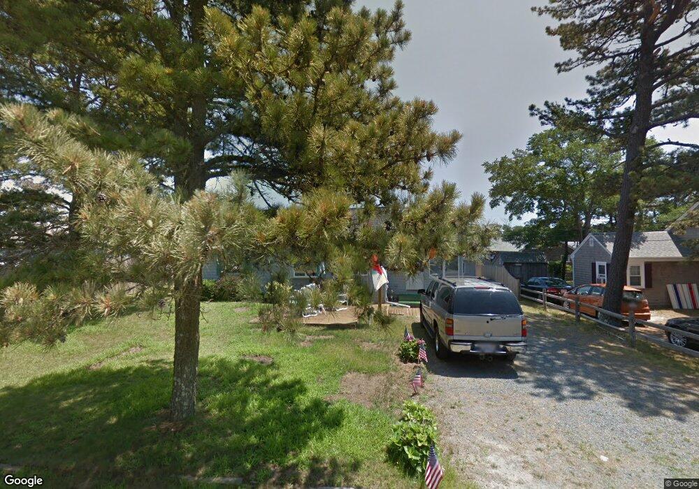
70 Uncle Rolf Rd Dennis Port, MA 02639
Dennis Port NeighborhoodEstimated Value: $584,000 - $785,000
3
Beds
1
Bath
986
Sq Ft
$692/Sq Ft
Est. Value
About This Home
This home is located at 70 Uncle Rolf Rd, Dennis Port, MA 02639 and is currently estimated at $682,128, approximately $691 per square foot. 70 Uncle Rolf Rd is a home located in Barnstable County with nearby schools including Dennis-Yarmouth Regional High School and St. Pius X. School.
Ownership History
Date
Name
Owned For
Owner Type
Purchase Details
Closed on
Aug 24, 2011
Sold by
Quinn Elaine C
Bought by
Torpey Brian S and Hanrahan-Torpey Diane
Current Estimated Value
Purchase Details
Closed on
Dec 21, 2001
Sold by
Mahoney Corinne and Mahoney Francis J
Bought by
Quinn Elaine C
Home Financials for this Owner
Home Financials are based on the most recent Mortgage that was taken out on this home.
Original Mortgage
$200,000
Interest Rate
6.54%
Mortgage Type
Purchase Money Mortgage
Create a Home Valuation Report for This Property
The Home Valuation Report is an in-depth analysis detailing your home's value as well as a comparison with similar homes in the area
Home Values in the Area
Average Home Value in this Area
Purchase History
| Date | Buyer | Sale Price | Title Company |
|---|---|---|---|
| Torpey Brian S | $321,000 | -- | |
| Torpey Brian S | $321,000 | -- | |
| Torpey Brian S | $321,000 | -- | |
| Quinn Elaine C | $259,900 | -- | |
| Quinn Elaine C | $259,900 | -- |
Source: Public Records
Mortgage History
| Date | Status | Borrower | Loan Amount |
|---|---|---|---|
| Previous Owner | Quinn Elaine C | $200,000 |
Source: Public Records
Tax History Compared to Growth
Tax History
| Year | Tax Paid | Tax Assessment Tax Assessment Total Assessment is a certain percentage of the fair market value that is determined by local assessors to be the total taxable value of land and additions on the property. | Land | Improvement |
|---|---|---|---|---|
| 2025 | $2,634 | $608,400 | $281,400 | $327,000 |
| 2024 | $2,473 | $563,400 | $270,700 | $292,700 |
| 2023 | $2,392 | $512,200 | $246,000 | $266,200 |
| 2022 | $2,190 | $391,100 | $193,900 | $197,200 |
| 2021 | $2,125 | $352,400 | $190,100 | $162,300 |
| 2020 | $2,058 | $337,400 | $190,100 | $147,300 |
| 2019 | $2,109 | $341,800 | $202,400 | $139,400 |
| 2018 | $2,035 | $321,000 | $192,700 | $128,300 |
| 2017 | $1,855 | $301,600 | $177,500 | $124,100 |
| 2016 | $1,785 | $273,400 | $167,300 | $106,100 |
| 2015 | $1,750 | $273,400 | $167,300 | $106,100 |
| 2014 | $1,672 | $263,300 | $157,200 | $106,100 |
Source: Public Records
Map
Nearby Homes
- 154 Old Wharf Rd Unit 26
- 154 Old Wharf Rd Unit 14
- 64 Beaten Rd
- 112 Old Wharf Rd Unit E4
- 112 Old Wharf Rd Unit E1
- 120 Old Wharf Rd Unit 11
- 37 Ocean Dr Unit 2
- 217 Old Wharf Rd Unit 64
- 241 Old Wharf Rd Unit 82
- 241 Old Wharf Rd Unit 127
- 241 Old Wharf Rd Unit 90
- 262 Old Wharf Rd Unit 67
- 262 Old Wharf Rd Unit 5
- 262 Old Wharf Rd Unit 5
- 262 Old Wharf Rd Unit 20
- 262 Old Wharf Rd Unit 87
- 37 Beach Hills Rd
- 37-A Beach Hills Rd
- 31 Easy St
- 80 Michaels Ave
- 183-187 Captain Chase Rd
- 76 Uncle Rolf Rd
- 5 Captain Chase Rd
- 5 Captain Chase Rd
- 183 Captain Chase Rd Unit A&B
- 183 Captain Chase Rd Unit 1-7
- 183 Captain Chase Rd
- 183 Captain Chase Rd Unit 8
- 183 Captain Chase Rd Unit 8&9
- 183 Captain Chase Rd Unit 1
- 183 Captain Chase Rd Unit 5
- 183 Captain Chase Rd Unit 9
- 183 Captain Chase Rd Unit 2
- 183 Captain Chase Rd Unit 6
- 183 Captain Chase Rd Unit 4
- 183 Captain Chase Rd Unit 7
- 183 Captain Chase Rd Unit 3
- 183 Captain Chase Rd Unit 1-6
- 189 Captain Chase Rd
- 183-189 Captain Chase Rd