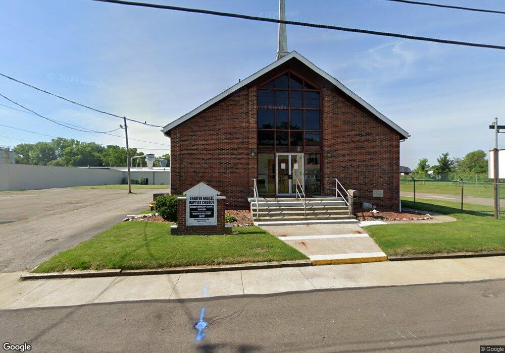
70 W Huston St Barberton, OH 44203
West Barberton NeighborhoodEstimated Value: $12,917 - $235,000
2
Beds
1
Bath
1,248
Sq Ft
$118/Sq Ft
Est. Value
About This Home
This home is located at 70 W Huston St, Barberton, OH 44203 and is currently estimated at $147,229, approximately $117 per square foot. 70 W Huston St is a home located in Summit County with nearby schools including Barberton Middle School, Barberton High School, and St. Francis de Sales School.
Ownership History
Date
Name
Owned For
Owner Type
Purchase Details
Closed on
Aug 31, 2011
Sold by
Galilee Missionary Baptist Church
Bought by
The Greater Galilee Missionary Baptist C
Current Estimated Value
Purchase Details
Closed on
Dec 16, 2002
Sold by
Mitchell Willie C
Bought by
Galilee Missionary Baptist Church
Purchase Details
Closed on
Nov 8, 2002
Sold by
Estate Of Bernice Mitchell
Bought by
Mitchell Willie C
Create a Home Valuation Report for This Property
The Home Valuation Report is an in-depth analysis detailing your home's value as well as a comparison with similar homes in the area
Home Values in the Area
Average Home Value in this Area
Purchase History
| Date | Buyer | Sale Price | Title Company |
|---|---|---|---|
| The Greater Galilee Missionary Baptist C | -- | None Available | |
| Galilee Missionary Baptist Church | $7,000 | Johnson & Parrish Title Agen | |
| Mitchell Willie C | -- | -- |
Source: Public Records
Tax History Compared to Growth
Tax History
| Year | Tax Paid | Tax Assessment Tax Assessment Total Assessment is a certain percentage of the fair market value that is determined by local assessors to be the total taxable value of land and additions on the property. | Land | Improvement |
|---|---|---|---|---|
| 2025 | $79 | $1,040 | $1,040 | -- |
| 2024 | $53 | $1,040 | $1,040 | -- |
| 2023 | $47 | $1,040 | $1,040 | -- |
| 2022 | $47 | $798 | $798 | $0 |
| 2021 | $47 | $798 | $798 | $0 |
| 2020 | $295 | $800 | $800 | $0 |
| 2019 | $294 | $4,610 | $4,610 | $0 |
| 2018 | $290 | $4,610 | $4,610 | $0 |
| 2017 | $294 | $4,610 | $4,610 | $0 |
| 2016 | $294 | $4,610 | $4,610 | $0 |
| 2015 | $294 | $4,610 | $4,610 | $0 |
| 2014 | $293 | $4,610 | $4,610 | $0 |
| 2013 | $282 | $4,610 | $4,610 | $0 |
Source: Public Records
Map
Nearby Homes
- 46 Brown St
- 337 Lucas St
- 437 Erie St
- 526 Wooster Rd N
- 387 4th St NW
- 564 W Hopocan Ave
- 583 Creedmore Ave
- 485 Lloyd St
- 536 Yale Ave
- 332 Lincoln Ave
- 349 E Hopocan Ave
- 283 7th St NW Unit 287
- 613 Wooster Rd N
- 287 7th St NW
- 357 E Paige Ave
- 217 W Summit St
- 308 E Baird Ave
- 25 S Van Buren Ave
- 0 Wooster Rd N
- 409 Franklin Ave
- 64 W Huston St
- 73 W Huston St
- 71 W Huston St
- 63 W Huston St
- 67 W Huston St
- 321 Wooster Rd N
- 57 W Huston St
- 53 W Huston St
- 335 Wooster Rd N
- 49 W Huston St
- 308 Wooster Rd N
- 31 W Huston St
- 29 W Huston St
- 302 Wooster Rd N
- 84 Brown St
- 344 Wooster Rd N
- 82 Brown St
- 294 Wooster Rd N
- 352 Wooster Rd N
- 120 Norman St