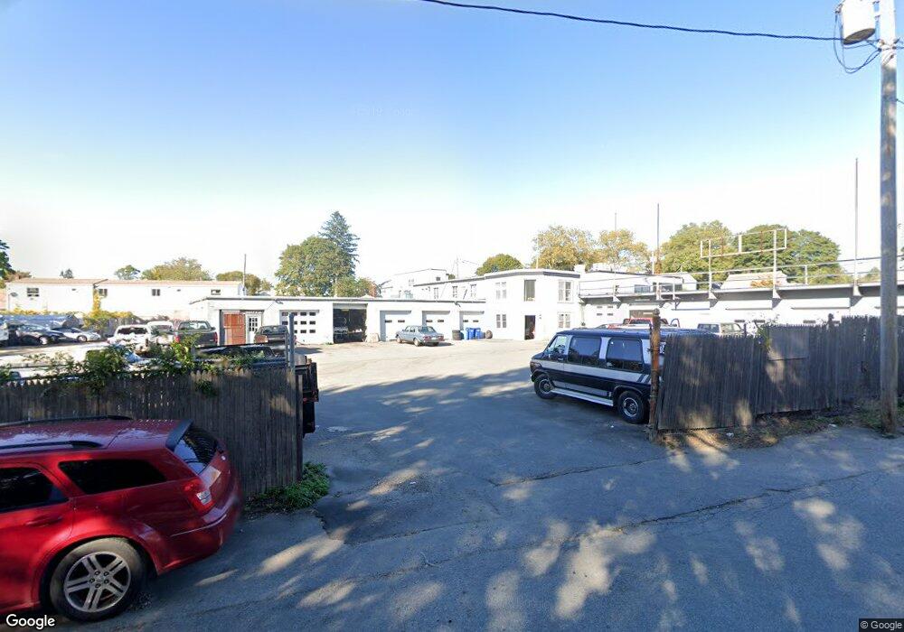
70 W Main Rd Middletown, RI 02842
--
Bed
--
Bath
13,802
Sq Ft
1.14
Acres
About This Home
This home is located at 70 W Main Rd, Middletown, RI 02842. 70 W Main Rd is a home located in Newport County with nearby schools including Rogers High School, St Michael's Country Day School, and All Saints STEAM Academy.
Ownership History
Date
Name
Owned For
Owner Type
Purchase Details
Closed on
Jan 14, 2014
Sold by
Michael J Bove 3Rd Ret
Bought by
Michael J Bove 4Th Lt
Home Financials for this Owner
Home Financials are based on the most recent Mortgage that was taken out on this home.
Original Mortgage
$50,000
Outstanding Balance
$37,751
Interest Rate
4.47%
Mortgage Type
Commercial
Purchase Details
Closed on
Jun 15, 2012
Sold by
Bove Michael J
Bought by
Michael J Bove 4Th T
Purchase Details
Closed on
May 21, 2012
Sold by
Michael J Bove 3Rd T
Bought by
Bove Michael J
Create a Home Valuation Report for This Property
The Home Valuation Report is an in-depth analysis detailing your home's value as well as a comparison with similar homes in the area
Home Values in the Area
Average Home Value in this Area
Purchase History
| Date | Buyer | Sale Price | Title Company |
|---|---|---|---|
| Michael J Bove 4Th Lt | -- | -- | |
| Michael J Bove 4Th T | -- | -- | |
| Bove Michael J | -- | -- |
Source: Public Records
Mortgage History
| Date | Status | Borrower | Loan Amount |
|---|---|---|---|
| Open | Bove Michael J | $50,000 |
Source: Public Records
Tax History Compared to Growth
Tax History
| Year | Tax Paid | Tax Assessment Tax Assessment Total Assessment is a certain percentage of the fair market value that is determined by local assessors to be the total taxable value of land and additions on the property. | Land | Improvement |
|---|---|---|---|---|
| 2025 | $17,505 | $1,288,100 | $595,400 | $692,700 |
| 2024 | $16,720 | $1,288,100 | $595,400 | $692,700 |
| 2023 | $16,011 | $856,200 | $288,400 | $567,800 |
| 2022 | $15,283 | $856,200 | $288,400 | $567,800 |
| 2021 | $14,752 | $856,200 | $288,400 | $567,800 |
| 2020 | $15,202 | $834,800 | $281,300 | $553,500 |
| 2018 | $15,193 | $834,800 | $281,300 | $553,500 |
| 2016 | $16,838 | $823,800 | $275,800 | $548,000 |
| 2015 | $16,443 | $823,800 | $275,800 | $548,000 |
| 2014 | $17,791 | $833,700 | $386,200 | $447,500 |
| 2013 | $17,399 | $833,700 | $386,200 | $447,500 |
Source: Public Records
Map
Nearby Homes
- 117 W Main Rd
- 149 W Main Rd
- 5 Elliot Place
- 1 Shangri-La Ln
- 19 Princeton St Unit 21
- 67 Linden St
- 1 Arnold Ave
- 138 Green End Ave
- 155 Evarts St
- 7 Sheffield Ave
- 66 Girard Ave Unit 401
- 114 Maple Ave
- 125 Van Zandt Ave Unit 307
- 65 Maple Ave
- 36 Kay Blvd
- 17 Underwood Ln
- 4 Newport Ave Unit B2
- 16 King Rd
- 17 Mariner Way
- 26 Prescott Hall Rd
- 7 Dudley Ave
- 16 Dudley Ave Unit 1
- 16 Dudley Ave Unit 2
- 16 Dudley Ave Unit 6
- 16 Dudley Ave Unit 4
- 16 Dudley Ave Unit 3
- 16 Dudley Ave Unit 7
- 16 Dudley Ave Unit 5
- 16 Dudley Ave
- 74 W Main Rd
- 12 Dudley Ave
- 86 W Main Rd
- 15 Dudley Ave
- 42 W Main Rd
- 42 W Main Rd Unit 2R
- 92 W Main Rd
- 69 W Main Rd
- 17 Dudley Ave
- 77 W Main Rd
- 15 Admiral Kalbfus Rd