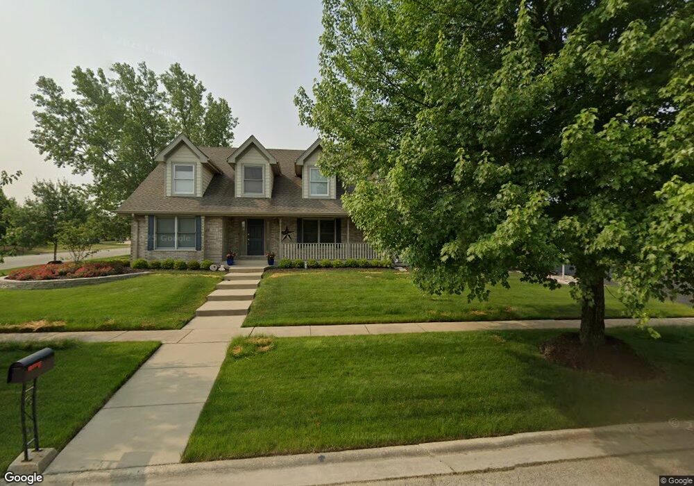
70 W Roberta St Lemont, IL 60439
West Lemont NeighborhoodEstimated Value: $565,477 - $643,000
4
Beds
3
Baths
2,318
Sq Ft
$259/Sq Ft
Est. Value
About This Home
This home is located at 70 W Roberta St, Lemont, IL 60439 and is currently estimated at $599,369, approximately $258 per square foot. 70 W Roberta St is a home located in Cook County with nearby schools including Oakwood School, River Valley School, and Old Quarry Middle School.
Ownership History
Date
Name
Owned For
Owner Type
Purchase Details
Closed on
Apr 19, 2024
Sold by
Slee Don W and Slee Catherine
Bought by
Don William Slee Jr And Catherien Louise Slee and Slee
Current Estimated Value
Purchase Details
Closed on
Jun 18, 1997
Sold by
Gianakakis James F and Gianakakis Mary P
Bought by
Slee Don W and Slee Catherine
Home Financials for this Owner
Home Financials are based on the most recent Mortgage that was taken out on this home.
Original Mortgage
$204,700
Interest Rate
7.25%
Create a Home Valuation Report for This Property
The Home Valuation Report is an in-depth analysis detailing your home's value as well as a comparison with similar homes in the area
Home Values in the Area
Average Home Value in this Area
Purchase History
| Date | Buyer | Sale Price | Title Company |
|---|---|---|---|
| Don William Slee Jr And Catherien Louise Slee | -- | None Listed On Document | |
| Slee Don W | $230,000 | -- |
Source: Public Records
Mortgage History
| Date | Status | Borrower | Loan Amount |
|---|---|---|---|
| Previous Owner | Slee Don W | $204,700 |
Source: Public Records
Tax History
| Year | Tax Paid | Tax Assessment Tax Assessment Total Assessment is a certain percentage of the fair market value that is determined by local assessors to be the total taxable value of land and additions on the property. | Land | Improvement |
|---|---|---|---|---|
| 2025 | $8,871 | $41,571 | $6,013 | $35,558 |
| 2024 | $8,871 | $41,571 | $6,013 | $35,558 |
| 2023 | $7,020 | $46,001 | $6,013 | $39,988 |
| 2022 | $7,020 | $32,337 | $5,319 | $27,018 |
| 2021 | $6,826 | $32,335 | $5,318 | $27,017 |
| 2020 | $6,952 | $32,335 | $5,318 | $27,017 |
| 2019 | $7,061 | $33,956 | $5,318 | $28,638 |
| 2018 | $6,943 | $33,956 | $5,318 | $28,638 |
| 2017 | $6,853 | $33,956 | $5,318 | $28,638 |
| 2016 | $6,487 | $29,974 | $4,393 | $25,581 |
| 2015 | $6,554 | $29,974 | $4,393 | $25,581 |
| 2014 | $6,630 | $29,974 | $4,393 | $25,581 |
| 2013 | $6,191 | $29,865 | $4,393 | $25,472 |
Source: Public Records
Map
Nearby Homes
- 1025 Walter St
- 1023 Walter St
- 16441 Kayla Dr
- 927 Walter St
- 51 Evergreen Dr
- 16541 Kayla Dr
- 16551 Kayla Dr
- 724 Ridge Rd
- 16560 Kayla Dr
- 1012 Warner Ave
- 16580 Kayla Dr
- 16590 Kayla Dr
- 12656 Brighton Dr
- 1261 Arbor Dr
- 15500 E 127th St
- 302 Freehauf St
- 15976 132nd St
- 1365 Gordon Ln
- 12799 Saint Andrews Ct Unit 3-202
- 16 E Illinois St
- 70 W Roberta St
- 125 Timberline Dr
- 119 Timberline Dr
- 127 Timberline Dr
- 67 Deborah Dr
- 117 Timberline Dr
- 118 Timberline Dr
- 65 Deborah Dr
- 129 Timberline Dr
- 116 Timberline Dr
- 115 Timberline Dr
- 63 Deborah Dr
- 68 Deborah Dr
- 131 Timberline Dr
- 59 W Roberta St
- 114 Timberline Dr
- 66 Deborah Dr
- 61 Deborah Dr
- 113 Timberline Dr
- 56 W Roberta St
Your Personal Tour Guide
Ask me questions while you tour the home.