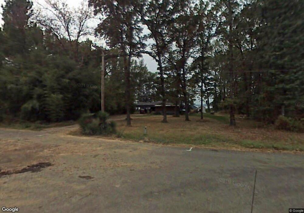
70 Waterfront Cove Conway, AR 72032
Estimated Value: $133,000 - $180,000
--
Bed
1
Bath
1,200
Sq Ft
$128/Sq Ft
Est. Value
About This Home
This home is located at 70 Waterfront Cove, Conway, AR 72032 and is currently estimated at $154,110, approximately $128 per square foot. 70 Waterfront Cove is a home located in Faulkner County with nearby schools including Preston & Florence Mattison Elementary School, Bob Courtway Middle School, and Conway Junior High School.
Ownership History
Date
Name
Owned For
Owner Type
Purchase Details
Closed on
Mar 29, 2013
Bought by
Bmf Holdings Llc
Current Estimated Value
Purchase Details
Closed on
Jul 19, 2010
Sold by
Federal National Mortgage Association
Bought by
Lawson Andrew M
Purchase Details
Closed on
Apr 20, 2010
Sold by
Bucklew Edrena
Bought by
Federal National Mortgage Association
Purchase Details
Closed on
May 8, 2007
Bought by
Bucklew
Purchase Details
Closed on
Apr 27, 2007
Bought by
Bucklew
Purchase Details
Closed on
Sep 6, 2001
Bought by
Redempt# 160316
Purchase Details
Closed on
Aug 8, 1997
Bought by
Gay and Gay Surratt
Create a Home Valuation Report for This Property
The Home Valuation Report is an in-depth analysis detailing your home's value as well as a comparison with similar homes in the area
Home Values in the Area
Average Home Value in this Area
Purchase History
| Date | Buyer | Sale Price | Title Company |
|---|---|---|---|
| Bmf Holdings Llc | -- | -- | |
| Lawson Andrew M | -- | -- | |
| Federal National Mortgage Association | $43,600 | -- | |
| Bucklew | $56,000 | -- | |
| Bucklew | $56,000 | -- | |
| Redempt# 160316 | -- | -- | |
| Gay | $40,000 | -- |
Source: Public Records
Tax History Compared to Growth
Tax History
| Year | Tax Paid | Tax Assessment Tax Assessment Total Assessment is a certain percentage of the fair market value that is determined by local assessors to be the total taxable value of land and additions on the property. | Land | Improvement |
|---|---|---|---|---|
| 2024 | $806 | $24,980 | $4,000 | $20,980 |
| 2023 | $733 | $15,800 | $4,000 | $11,800 |
| 2022 | $783 | $15,800 | $4,000 | $11,800 |
| 2021 | $730 | $15,800 | $4,000 | $11,800 |
| 2020 | $667 | $13,610 | $4,000 | $9,610 |
| 2019 | $409 | $8,050 | $4,000 | $4,050 |
| 2018 | $409 | $8,050 | $4,000 | $4,050 |
| 2017 | $409 | $8,050 | $4,000 | $4,050 |
| 2016 | $409 | $8,050 | $4,000 | $4,050 |
| 2015 | $356 | $7,680 | $4,000 | $3,680 |
| 2014 | $391 | $4,140 | $4,000 | $140 |
Source: Public Records
Map
Nearby Homes
- 98 Waterfront Cove
- 171 Waterfront Cove
- 35 Mountain Air Loop
- 20 Canterberry Point Dr
- 44 Adams Lake Loop
- 51 Adams Lake Loop
- 15 Brown St
- 000 Bream Nest Rd
- 72 Lawrence Landing Rd
- 23 Northlake Dr Unit N0RTH
- 31 Barham Loop
- 00 Kaps Landing Rd
- 256 Caney Creek Rd
- 147 Palarm Creek Rd
- lot 7 Shady Point Dr
- 000 Fuller Rd
- 2 Pine St
- 1 Jessilea Rd
- 44 Sinai Rd
- 60 Buddy Ln
- 74 Waterfront Cove
- 69 Waterfront Cove
- 84 Waterfront Cove
- 76 Waterfront Cove
- 86 Waterfront Cove
- 79 & 81 Waterfront Cove
- 64 Waterfront Cove
- 78 Waterfront Cove
- 60 Waterfront Cove
- 92 Waterfront Cove
- 61 Waterfront Cove
- 94 Waterfront Cove
- 96 Waterfront Cove
- 62 Waterfront Cove
- 54 Waterfront Cove
- 114 Waterfront Cove
- 110 Waterfront Cove
- 108 Waterfront Cove
- 34 Waterfront Cove
- 106 Waterfront Cove