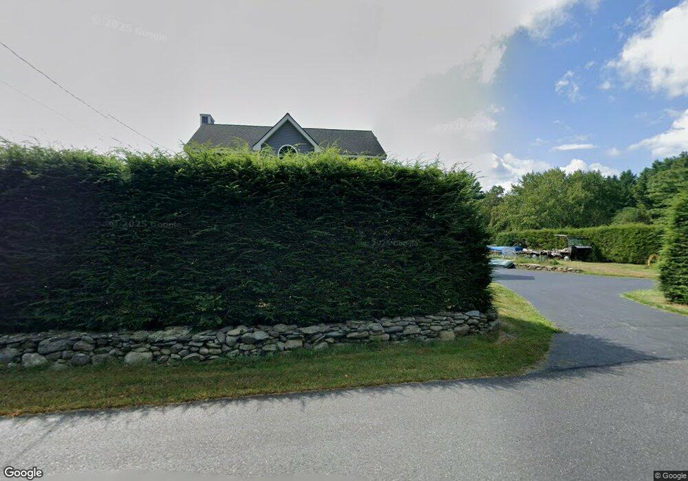
70 Watt St Lunenburg, MA 01462
Estimated Value: $675,000 - $748,000
3
Beds
3
Baths
2,684
Sq Ft
$266/Sq Ft
Est. Value
About This Home
This home is located at 70 Watt St, Lunenburg, MA 01462 and is currently estimated at $715,113, approximately $266 per square foot. 70 Watt St is a home located in Worcester County with nearby schools including Lunenburg Primary School and Lunenburg High School.
Create a Home Valuation Report for This Property
The Home Valuation Report is an in-depth analysis detailing your home's value as well as a comparison with similar homes in the area
Home Values in the Area
Average Home Value in this Area
Tax History Compared to Growth
Tax History
| Year | Tax Paid | Tax Assessment Tax Assessment Total Assessment is a certain percentage of the fair market value that is determined by local assessors to be the total taxable value of land and additions on the property. | Land | Improvement |
|---|---|---|---|---|
| 2025 | $8,718 | $607,100 | $143,200 | $463,900 |
| 2024 | $8,027 | $569,300 | $135,200 | $434,100 |
| 2023 | $7,814 | $534,500 | $122,800 | $411,700 |
| 2022 | $7,564 | $440,000 | $102,500 | $337,500 |
| 2020 | $7,715 | $425,800 | $102,100 | $323,700 |
| 2019 | $7,410 | $396,700 | $96,100 | $300,600 |
| 2018 | $7,563 | $383,900 | $96,100 | $287,800 |
| 2017 | $7,399 | $370,300 | $91,700 | $278,600 |
| 2016 | $6,950 | $354,400 | $87,200 | $267,200 |
| 2015 | $6,284 | $343,000 | $82,700 | $260,300 |
Source: Public Records
Map
Nearby Homes
- 11 Longwood Dr
- 166 Elmwood Rd
- 110 Burrage St
- 330 Arbor St
- 1790 Massachusetts Ave Unit 25
- 1790 Massachusetts Ave Unit 22
- 878 Flat Hill Rd
- 45 Spring St
- 61 Parker Rd
- 49 Parker Rd
- 659 Reservoir Rd
- 12 Hazen Rd
- 2 Oakes Landing
- 828 Lancaster Ave
- 9 Winter Hill Rd
- 802 Reservoir Rd
- 44 Hemlock Dr
- 372 Townsend Harbor Rd
- 43 Longley Rd
- 12 Easter Brook Rd