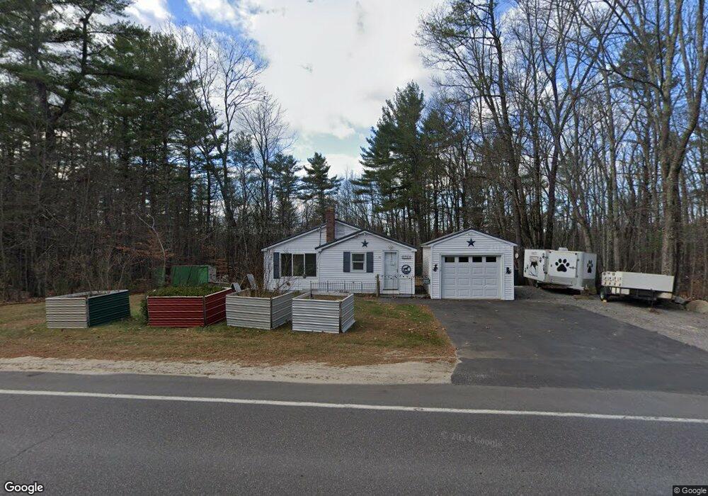
70 Webbs Mills Rd Raymond, ME 04071
Estimated Value: $254,162 - $527,000
2
Beds
2
Baths
723
Sq Ft
$513/Sq Ft
Est. Value
About This Home
This home is located at 70 Webbs Mills Rd, Raymond, ME 04071 and is currently estimated at $370,791, approximately $512 per square foot. 70 Webbs Mills Rd is a home located in Cumberland County with nearby schools including Raymond Elementary School, Jordan-Small Middle School, and Windham High School.
Ownership History
Date
Name
Owned For
Owner Type
Purchase Details
Closed on
Jul 23, 2010
Sold by
Dighello Dean A
Bought by
Carroll Charlotte A
Current Estimated Value
Home Financials for this Owner
Home Financials are based on the most recent Mortgage that was taken out on this home.
Original Mortgage
$98,800
Outstanding Balance
$65,785
Interest Rate
4.76%
Mortgage Type
Purchase Money Mortgage
Estimated Equity
$305,006
Purchase Details
Closed on
May 31, 2005
Sold by
Napolcone Mark A
Bought by
Dighello Dean A
Home Financials for this Owner
Home Financials are based on the most recent Mortgage that was taken out on this home.
Original Mortgage
$109,600
Interest Rate
5.94%
Mortgage Type
Purchase Money Mortgage
Create a Home Valuation Report for This Property
The Home Valuation Report is an in-depth analysis detailing your home's value as well as a comparison with similar homes in the area
Home Values in the Area
Average Home Value in this Area
Purchase History
| Date | Buyer | Sale Price | Title Company |
|---|---|---|---|
| Carroll Charlotte A | -- | -- | |
| Dighello Dean A | -- | -- |
Source: Public Records
Mortgage History
| Date | Status | Borrower | Loan Amount |
|---|---|---|---|
| Open | Carroll Charlotte A | $98,800 | |
| Previous Owner | Dighello Dean A | $109,600 | |
| Previous Owner | Dighello Dean A | $27,400 |
Source: Public Records
Tax History Compared to Growth
Tax History
| Year | Tax Paid | Tax Assessment Tax Assessment Total Assessment is a certain percentage of the fair market value that is determined by local assessors to be the total taxable value of land and additions on the property. | Land | Improvement |
|---|---|---|---|---|
| 2024 | $2,102 | $122,200 | $40,700 | $81,500 |
| 2023 | $1,943 | $122,200 | $40,700 | $81,500 |
| 2022 | $1,833 | $122,200 | $40,700 | $81,500 |
| 2021 | $1,723 | $122,200 | $40,700 | $81,500 |
| 2019 | $1,644 | $122,200 | $40,700 | $81,500 |
| 2018 | $5,954 | $122,200 | $40,700 | $81,500 |
| 2017 | $1,503 | $122,200 | $40,700 | $81,500 |
| 2016 | $1,479 | $122,200 | $40,700 | $81,500 |
| 2015 | $1,460 | $122,200 | $40,700 | $81,500 |
| 2014 | $1,442 | $122,200 | $40,700 | $81,500 |
| 2013 | $1,375 | $122,200 | $40,700 | $81,500 |
Source: Public Records
Map
Nearby Homes
- 7 Salmon Run
- 8 Patricia Ave
- 10 Crockett Rd
- 16 Peterson Rd
- 00 Westview Dr
- 2 Flynn Rd
- 1 Pine Ln
- 24 Hillside Dr
- 18 Hillside Dr
- 20 Bittersweet Way
- 7 Gore Rd
- 12 Presidential View
- 105 Meadow Rd
- 0 Heidi Way
- 50 Boulder Rd
- 32 Boulder Rd
- 1112 Roosevelt Trail Unit 25
- 34 Stoney Brook Rd
- 15 Worcester Dr
- 111 Daggett Dr