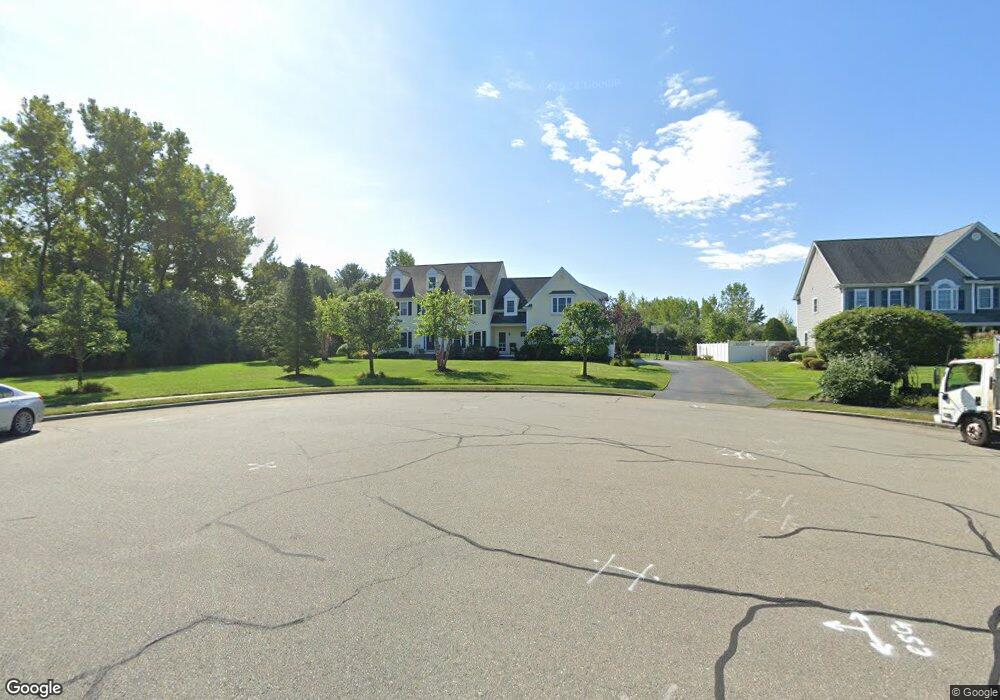
70 Weetamoo Way Wrentham, MA 02093
Estimated Value: $1,314,256 - $1,649,000
5
Beds
4
Baths
4,456
Sq Ft
$330/Sq Ft
Est. Value
About This Home
This home is located at 70 Weetamoo Way, Wrentham, MA 02093 and is currently estimated at $1,470,064, approximately $329 per square foot. 70 Weetamoo Way is a home located in Norfolk County with nearby schools including Delaney Elementary School and Charles E Roderick.
Ownership History
Date
Name
Owned For
Owner Type
Purchase Details
Closed on
Jul 15, 2015
Sold by
Corcoran Stephen J and Corcoran Julie A
Bought by
Kenney 3Rd Edward C and Kenney Kristen
Current Estimated Value
Home Financials for this Owner
Home Financials are based on the most recent Mortgage that was taken out on this home.
Original Mortgage
$608,000
Outstanding Balance
$473,087
Interest Rate
3.88%
Mortgage Type
Purchase Money Mortgage
Estimated Equity
$996,977
Purchase Details
Closed on
Sep 1, 2005
Sold by
Diplacido Dev Corp
Bought by
Corcoran Julie A and Corcoran Stephen J
Home Financials for this Owner
Home Financials are based on the most recent Mortgage that was taken out on this home.
Original Mortgage
$230,000
Interest Rate
5.81%
Mortgage Type
Purchase Money Mortgage
Create a Home Valuation Report for This Property
The Home Valuation Report is an in-depth analysis detailing your home's value as well as a comparison with similar homes in the area
Home Values in the Area
Average Home Value in this Area
Purchase History
| Date | Buyer | Sale Price | Title Company |
|---|---|---|---|
| Kenney 3Rd Edward C | $760,000 | -- | |
| Corcoran Julie A | $730,208 | -- |
Source: Public Records
Mortgage History
| Date | Status | Borrower | Loan Amount |
|---|---|---|---|
| Open | Kenney 3Rd Edward C | $608,000 | |
| Previous Owner | Corcoran Julie A | $230,000 |
Source: Public Records
Tax History Compared to Growth
Tax History
| Year | Tax Paid | Tax Assessment Tax Assessment Total Assessment is a certain percentage of the fair market value that is determined by local assessors to be the total taxable value of land and additions on the property. | Land | Improvement |
|---|---|---|---|---|
| 2025 | $13,809 | $1,191,500 | $317,000 | $874,500 |
| 2024 | $13,012 | $1,084,300 | $317,000 | $767,300 |
| 2023 | $12,770 | $1,011,900 | $288,100 | $723,800 |
| 2022 | $12,083 | $883,900 | $261,900 | $622,000 |
| 2021 | $11,717 | $832,800 | $261,900 | $570,900 |
| 2020 | $12,405 | $870,500 | $215,300 | $655,200 |
| 2019 | $11,861 | $840,000 | $215,300 | $624,700 |
| 2018 | $10,868 | $763,200 | $215,600 | $547,600 |
| 2017 | $10,598 | $743,700 | $211,400 | $532,300 |
| 2016 | $10,470 | $733,200 | $205,300 | $527,900 |
| 2015 | $10,700 | $714,300 | $197,300 | $517,000 |
| 2014 | $10,608 | $692,900 | $189,800 | $503,100 |
Source: Public Records
Map
Nearby Homes
- Lot 1 - Blueberry 2 Car Plan at King Philip Estates
- Lot 8 - Blueberry 2 Car Plan at King Philip Estates
- Lot 5 - Hughes 2 car Plan at King Philip Estates
- Lot 6 - Blueberry 3 Car Plan at King Philip Estates
- Lot 2 - Camden 2 Car Plan at King Philip Estates
- Lot 7 - Cedar Plan at King Philip Estates
- Lot 4 - Hemingway 2 Car Plan at King Philip Estates
- Lot 3 - Blueberry 2 Car Plan at King Philip Estates
- Lot 3 - 14 Earle Stewart Ln
- 11 Earle Stewart Ln
- 131 Creek St Unit 7
- 791 South St Unit 5
- 319 Taunton St
- 10 Nature View Dr
- 15 Nature View Dr
- 570 Franklin St
- 440 Chestnut St
- 50 Green St
- 1204 South St
- 1222 South St
- 60 Weetamoo Way
- 50 Weetamoo Way
- 95 Weetamoo Way
- 85 Weetamoo Way
- 40 Weetamoo Way
- 75 Weetamoo Way
- 65 Weetamoo Way
- 100 Riverside Dr
- 110 Riverside Dr
- 30 Weetamoo Way
- 6 Village Way
- 20 Weetamoo Way
- 90 Riverside Dr
- 105 Annawon Ave
- 55 Weetamoo Way
- 85 Annawon Ave
- 45 Weetamoo Way
- 115 Annawon Ave
- 80 Riverside Dr
- 5 Village Way