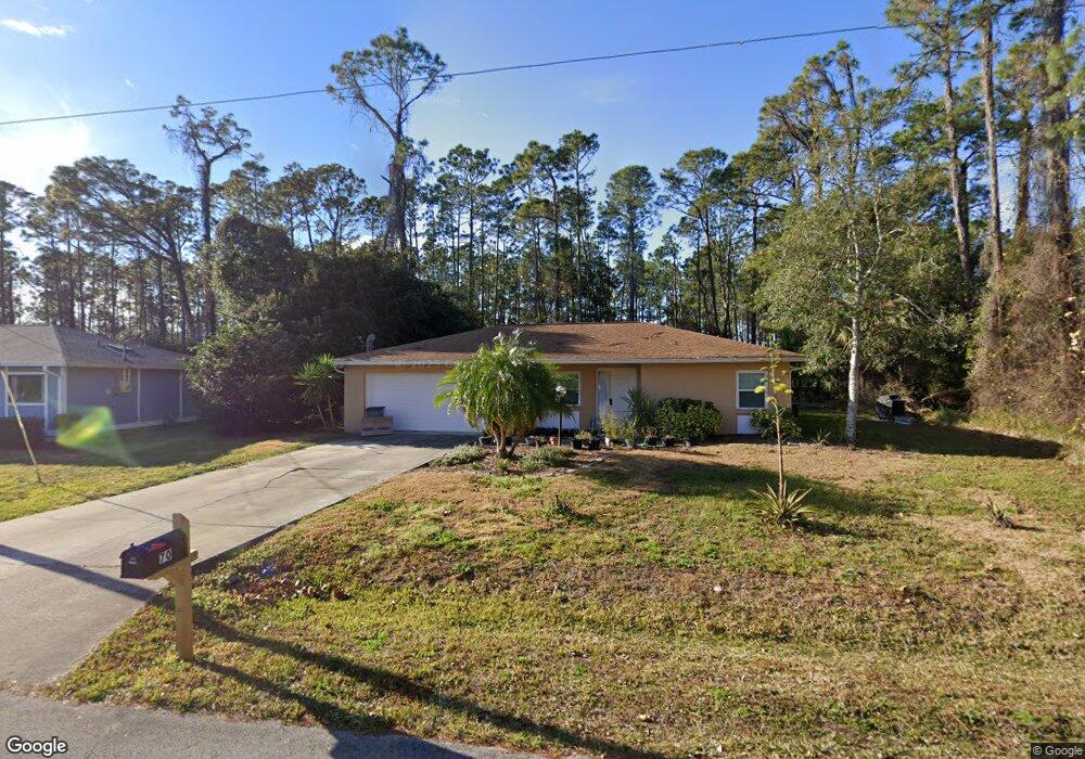
70 Welling Ln Palm Coast, FL 32164
Estimated Value: $278,000 - $371,000
3
Beds
2
Baths
1,433
Sq Ft
$221/Sq Ft
Est. Value
About This Home
This home is located at 70 Welling Ln, Palm Coast, FL 32164 and is currently estimated at $316,574, approximately $220 per square foot. 70 Welling Ln is a home located in Flagler County with nearby schools including Rymfire Elementary School, Buddy Taylor Middle School, and Flagler-Palm Coast High School.
Ownership History
Date
Name
Owned For
Owner Type
Purchase Details
Closed on
Jul 23, 2018
Sold by
Devore Kelly L and Devore Robert
Bought by
Devore Kelly L and Devore Robert
Current Estimated Value
Purchase Details
Closed on
Jul 28, 1997
Sold by
Rao Bharat M and Rao Christine
Bought by
Devore Kelly L
Home Financials for this Owner
Home Financials are based on the most recent Mortgage that was taken out on this home.
Original Mortgage
$69,800
Outstanding Balance
$10,610
Interest Rate
7.7%
Estimated Equity
$305,964
Create a Home Valuation Report for This Property
The Home Valuation Report is an in-depth analysis detailing your home's value as well as a comparison with similar homes in the area
Home Values in the Area
Average Home Value in this Area
Purchase History
| Date | Buyer | Sale Price | Title Company |
|---|---|---|---|
| Devore Kelly L | -- | Attorney | |
| Devore Kelly L | $72,000 | -- |
Source: Public Records
Mortgage History
| Date | Status | Borrower | Loan Amount |
|---|---|---|---|
| Open | Devore Kelly L | $69,800 |
Source: Public Records
Tax History Compared to Growth
Tax History
| Year | Tax Paid | Tax Assessment Tax Assessment Total Assessment is a certain percentage of the fair market value that is determined by local assessors to be the total taxable value of land and additions on the property. | Land | Improvement |
|---|---|---|---|---|
| 2024 | $1,252 | $113,575 | -- | -- |
| 2023 | $1,252 | $110,267 | $0 | $0 |
| 2022 | $1,224 | $107,055 | $0 | $0 |
| 2021 | $1,197 | $103,937 | $0 | $0 |
| 2020 | $1,189 | $102,502 | $0 | $0 |
| 2019 | $659 | $75,183 | $0 | $0 |
| 2018 | $662 | $73,781 | $0 | $0 |
| 2017 | $658 | $72,263 | $0 | $0 |
| 2016 | $654 | $70,777 | $0 | $0 |
| 2015 | $661 | $70,285 | $0 | $0 |
| 2014 | $667 | $69,727 | $0 | $0 |
Source: Public Records
Map
Nearby Homes
- 122 Wellstone Dr
- 112 Wellstone Dr
- 14 Wellesley Ln
- 40 Wellwater Dr
- 22 Wellwater Dr
- 18 Westcliffe Ln
- 34 Westchester Ln
- 84 Wellwater Dr
- 9 Weller Ln
- 19 Westcedar Ln
- 13 Wellesley Ln
- 32 Wellhaven Ln
- 12 Westchester Ln
- 59 Wellstream Ln
- 57 Wellstream Ln
- 53 Woodside Dr
- 29 Wellstream Ln
- 13 Wentworth Ln
- 46 Woodward Ln
- 120 Wellwood Ln Unit A