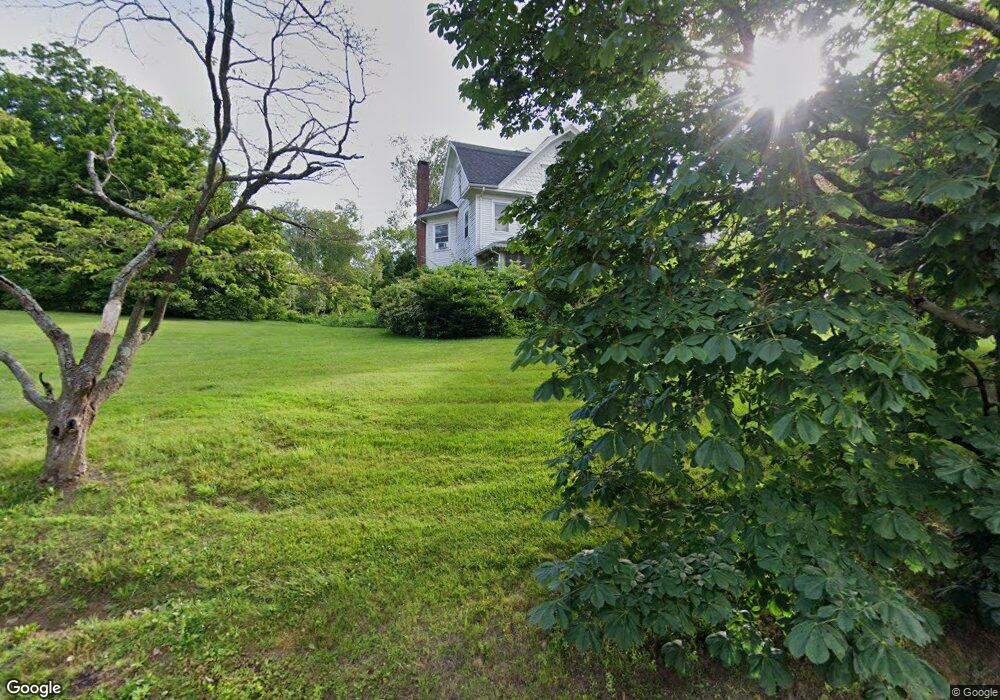
70 West St Seymour, CT 06483
Estimated Value: $398,000 - $473,000
5
Beds
3
Baths
2,996
Sq Ft
$148/Sq Ft
Est. Value
About This Home
This home is located at 70 West St, Seymour, CT 06483 and is currently estimated at $443,529, approximately $148 per square foot. 70 West St is a home located in New Haven County with nearby schools including Bungay Elementary School, Seymour Middle School, and Seymour High School.
Ownership History
Date
Name
Owned For
Owner Type
Purchase Details
Closed on
Jul 12, 1995
Sold by
Squier Gary M
Bought by
Murphy William J and Murphy Kathy A
Current Estimated Value
Home Financials for this Owner
Home Financials are based on the most recent Mortgage that was taken out on this home.
Original Mortgage
$120,000
Interest Rate
7.5%
Create a Home Valuation Report for This Property
The Home Valuation Report is an in-depth analysis detailing your home's value as well as a comparison with similar homes in the area
Home Values in the Area
Average Home Value in this Area
Purchase History
| Date | Buyer | Sale Price | Title Company |
|---|---|---|---|
| Murphy William J | $225,000 | -- |
Source: Public Records
Mortgage History
| Date | Status | Borrower | Loan Amount |
|---|---|---|---|
| Closed | Murphy William J | $120,000 |
Source: Public Records
Tax History
| Year | Tax Paid | Tax Assessment Tax Assessment Total Assessment is a certain percentage of the fair market value that is determined by local assessors to be the total taxable value of land and additions on the property. | Land | Improvement |
|---|---|---|---|---|
| 2025 | $8,361 | $301,630 | $38,150 | $263,480 |
| 2024 | $7,842 | $212,870 | $33,110 | $179,760 |
| 2023 | $7,659 | $212,870 | $33,110 | $179,760 |
| 2022 | $7,576 | $212,870 | $33,110 | $179,760 |
| 2021 | $7,389 | $212,870 | $33,110 | $179,760 |
| 2020 | $7,668 | $213,010 | $38,920 | $174,090 |
| 2019 | $7,668 | $213,010 | $38,920 | $174,090 |
| 2018 | $7,668 | $213,010 | $38,920 | $174,090 |
| 2017 | $7,668 | $213,010 | $38,920 | $174,090 |
| 2016 | $7,668 | $213,010 | $38,920 | $174,090 |
| 2015 | $7,893 | $228,200 | $43,190 | $185,010 |
| 2014 | $7,768 | $228,200 | $43,190 | $185,010 |
Source: Public Records
Map
Nearby Homes
- 68 New St
- 32 George St
- 61 Pershing Ave
- 122 Derby Ave
- 11 Oxford Rd
- 93 Balance Rock Rd Unit 1
- 53 Maple St
- 50 Bissell Place
- 169 Derby Ave
- 11 Poplar Dr
- 32 Roberts St
- 37-14, 49-1, 79-2, 7 Balance Rock Rd
- 17 Meadow St Unit 23
- 72D Walnut St
- 41 Balance Rock Rd Unit 16
- 57 Balance Rock Rd Unit 17
- 3 Hine St
- 42 Greenwood Cir
- 43 Balance Rock Rd Unit 1
- 300 S Main St