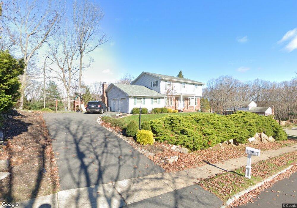
70 Whitewood Dr Morris Plains, NJ 07950
Estimated Value: $797,000 - $862,000
--
Bed
--
Bath
2,232
Sq Ft
$374/Sq Ft
Est. Value
About This Home
This home is located at 70 Whitewood Dr, Morris Plains, NJ 07950 and is currently estimated at $835,129, approximately $374 per square foot. 70 Whitewood Dr is a home located in Morris County with nearby schools including Mount Tabor School, Brooklawn Middle School, and Parsippany Hills High School.
Ownership History
Date
Name
Owned For
Owner Type
Purchase Details
Closed on
Jan 7, 2011
Sold by
Hu Chengjiu and Teng Yue
Bought by
Buraszeski Eric A and Buraszeski Erin A
Current Estimated Value
Home Financials for this Owner
Home Financials are based on the most recent Mortgage that was taken out on this home.
Original Mortgage
$443,390
Interest Rate
4.75%
Mortgage Type
FHA
Purchase Details
Closed on
Dec 27, 2002
Sold by
Horng Chih
Bought by
Hu Cheng and Teng Yue
Home Financials for this Owner
Home Financials are based on the most recent Mortgage that was taken out on this home.
Original Mortgage
$300,700
Interest Rate
6.19%
Purchase Details
Closed on
Sep 7, 2000
Sold by
Chang Chiao Po and Chiu Su Ling
Bought by
Horng Chih Shen and Chang Shu Lan
Home Financials for this Owner
Home Financials are based on the most recent Mortgage that was taken out on this home.
Original Mortgage
$252,000
Interest Rate
7.87%
Create a Home Valuation Report for This Property
The Home Valuation Report is an in-depth analysis detailing your home's value as well as a comparison with similar homes in the area
Home Values in the Area
Average Home Value in this Area
Purchase History
| Date | Buyer | Sale Price | Title Company |
|---|---|---|---|
| Buraszeski Eric A | $455,000 | Quality Title & Abstract Age | |
| Hu Cheng | $410,000 | -- | |
| Horng Chih Shen | $315,000 | -- |
Source: Public Records
Mortgage History
| Date | Status | Borrower | Loan Amount |
|---|---|---|---|
| Previous Owner | Buraszeski Eric A | $443,390 | |
| Previous Owner | Hu Cheng | $300,700 | |
| Previous Owner | Horng Chih Shen | $252,000 |
Source: Public Records
Tax History Compared to Growth
Tax History
| Year | Tax Paid | Tax Assessment Tax Assessment Total Assessment is a certain percentage of the fair market value that is determined by local assessors to be the total taxable value of land and additions on the property. | Land | Improvement |
|---|---|---|---|---|
| 2025 | $13,166 | $379,000 | $196,000 | $183,000 |
| 2024 | $12,916 | $379,000 | $196,000 | $183,000 |
| 2023 | $12,916 | $379,000 | $196,000 | $183,000 |
| 2022 | $12,018 | $379,000 | $196,000 | $183,000 |
| 2021 | $12,018 | $379,000 | $196,000 | $183,000 |
| 2020 | $11,688 | $379,000 | $196,000 | $183,000 |
| 2019 | $11,374 | $379,000 | $196,000 | $183,000 |
| 2018 | $11,052 | $379,000 | $196,000 | $183,000 |
| 2017 | $10,802 | $379,000 | $196,000 | $183,000 |
| 2016 | $10,616 | $379,000 | $196,000 | $183,000 |
| 2015 | $10,347 | $379,000 | $196,000 | $183,000 |
| 2014 | $10,195 | $379,000 | $196,000 | $183,000 |
Source: Public Records
Map
Nearby Homes
- 1 Ironwood Dr
- 711 Park Rd
- 20 Whitewood Dr
- 35 Oakdale Rd
- 78 North Place
- 15 Force Place
- 29 Whitfield Place
- 32 Fletcher Place
- 26 Wesley Place
- 21 Holly Dr
- 1466 Tabor Rd
- 2 Castaby Way
- 31 Station Rd
- 189 Park Rd
- 62 Brookstone Cir
- 17 Freeman Ave
- 20 Dogwood Dr
- 5 Richwood Place
- 12 Ridgewood Pkwy E
- 1035 Littleton Rd
- 26 Ironwood Dr
- 29 Ironwood Dr
- 68 Whitewood Dr
- 24 Ironwood Dr
- 71 Whitewood Dr
- 29 Ironwood Dr
- 27 Ironwood Dr
- 66 Whitewood Dr
- 69 Whitewood Dr
- 31 Ironwood Dr
- 25 Ironwood Dr
- 22 Ironwood Dr
- 64 Whitewood Dr
- 67 Whitewood Dr
- 23 Ironwood Dr
- 3 J Rapps Ct
- 3 J Raps Ct
- 20 Ironwood Dr
- 62 Whitewood Dr
- 21 Ironwood Dr