70 Wilson Ct Nordman, ID 83848
Estimated Value: $720,000 - $1,034,000
5
Beds
3
Baths
2,968
Sq Ft
$275/Sq Ft
Est. Value
About This Home
This home is located at 70 Wilson Ct, Nordman, ID 83848 and is currently estimated at $815,012, approximately $274 per square foot. 70 Wilson Ct is a home located in Bonner County.
Ownership History
Date
Name
Owned For
Owner Type
Purchase Details
Closed on
Apr 14, 2017
Sold by
Wilson Shawn T and Wilson Heather S
Bought by
Horey Jack and Case Shan
Current Estimated Value
Home Financials for this Owner
Home Financials are based on the most recent Mortgage that was taken out on this home.
Original Mortgage
$397,350
Outstanding Balance
$204,573
Interest Rate
4.1%
Mortgage Type
New Conventional
Estimated Equity
$610,439
Purchase Details
Closed on
Aug 8, 2005
Sold by
Hilleary Patricia Jean
Bought by
Wilson Shawn T and Wilson Heather S
Create a Home Valuation Report for This Property
The Home Valuation Report is an in-depth analysis detailing your home's value as well as a comparison with similar homes in the area
Home Values in the Area
Average Home Value in this Area
Purchase History
| Date | Buyer | Sale Price | Title Company |
|---|---|---|---|
| Horey Jack | -- | First American Title Sandpon | |
| Wilson Shawn T | -- | None Available |
Source: Public Records
Mortgage History
| Date | Status | Borrower | Loan Amount |
|---|---|---|---|
| Open | Horey Jack | $397,350 |
Source: Public Records
Tax History Compared to Growth
Tax History
| Year | Tax Paid | Tax Assessment Tax Assessment Total Assessment is a certain percentage of the fair market value that is determined by local assessors to be the total taxable value of land and additions on the property. | Land | Improvement |
|---|---|---|---|---|
| 2025 | $2,177 | $697,394 | $197,936 | $499,458 |
| 2024 | $2,005 | $699,134 | $197,936 | $501,198 |
| 2023 | $1,994 | $656,440 | $197,936 | $458,504 |
| 2022 | $2,683 | $648,100 | $189,596 | $458,504 |
| 2021 | $2,277 | $373,057 | $113,913 | $259,144 |
| 2020 | $2,181 | $345,675 | $87,750 | $257,925 |
| 2019 | $2,229 | $347,110 | $87,750 | $259,360 |
| 2018 | $1,488 | $312,392 | $87,750 | $224,642 |
| 2017 | $1,488 | $190,570 | $0 | $0 |
| 2016 | $1,542 | $190,180 | $0 | $0 |
| 2015 | -- | $173,810 | $0 | $0 |
| 2014 | -- | $173,810 | $0 | $0 |
Source: Public Records
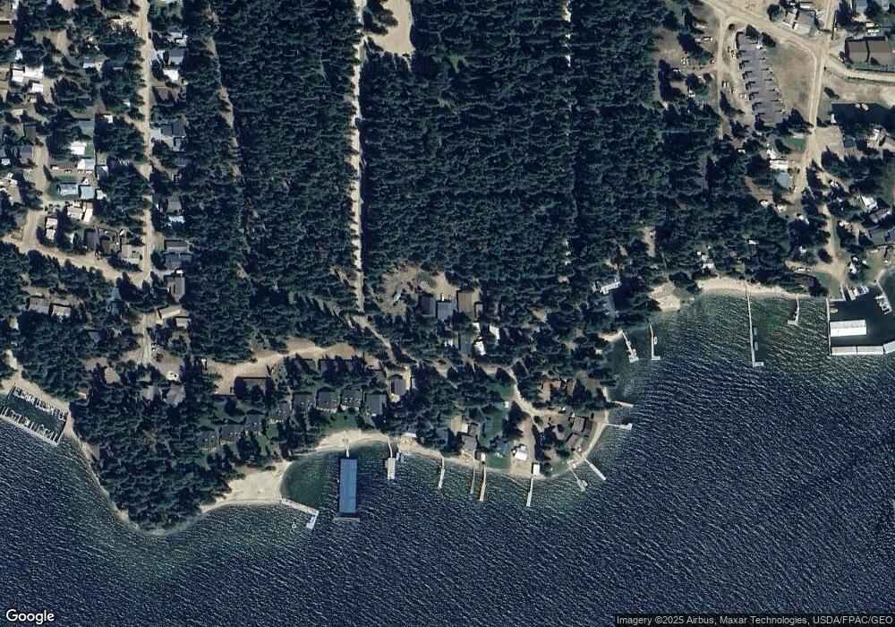
Map
Nearby Homes
- 51 Rebecca Ln
- 45 Rebecca Ln
- 33 Rebecca Ln
- 39 Rebecca Ln
- 27 Rebecca Ln
- 25 Rebecca Ln
- 15 Rebecca Ln
- 9 Rebecca Ln
- 118 Timber Ln
- 27 Fremont Ln
- 21 Fremont Ln
- 44 Palouse Dr
- 40 Palouse Dr (B12) Dr
- 52 Palouse Dr
- B2-B6 Grandview Estates
- 56 56 Palouse Dr (B9)
- 74 Palouse Dr
- 85 Palouse Dr Unit A-4
- 3713 Reeder Bay Rd
- 88 Palouse Dr
- 70 Wilson Ct
- 70 Wilson
- 52 Wilson Ct
- 269 Sundance Loop
- 42 Wilson Ct
- 291 Sundance Loop
- 220 Sundance Loop
- 321 Sundance Loop
- 234 Sundance Loop
- 252 Sundance Loop
- 218 Sundance Loop
- 254 Sundance Loop
- 304 Sundance Loop
- 347 Sundance Loop
- 16 Sunrise Ln
- 16 Sunrise Ln
- 194 Sundance Loop
- 194 Sundance Loop
- 194 Sundance Loop
- 194 Sundance Loop