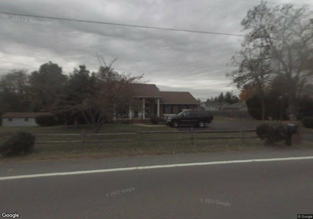
70 Wilson Ct Prince Frederick, MD 20678
Estimated Value: $321,000 - $482,000
Studio
2
Baths
1,194
Sq Ft
$340/Sq Ft
Est. Value
About This Home
This home is located at 70 Wilson Ct, Prince Frederick, MD 20678 and is currently estimated at $405,435, approximately $339 per square foot. 70 Wilson Ct is a home located in Calvert County with nearby schools including Calvert Elementary School, Calvert Middle School, and Calvert High School.
Ownership History
Date
Name
Owned For
Owner Type
Purchase Details
Closed on
Dec 12, 2024
Sold by
Loveless Robert Wayne and Loveless Maria Alexandra
Bought by
Perry Charles and Ercoline Sarith Anita
Current Estimated Value
Home Financials for this Owner
Home Financials are based on the most recent Mortgage that was taken out on this home.
Original Mortgage
$322,500
Outstanding Balance
$318,745
Interest Rate
6.72%
Mortgage Type
New Conventional
Estimated Equity
$86,690
Purchase Details
Closed on
Oct 8, 1986
Sold by
Bolt Randall H and Bolt Frances M
Bought by
Loveless Robert Wayne and Maria Alexandra
Home Financials for this Owner
Home Financials are based on the most recent Mortgage that was taken out on this home.
Original Mortgage
$93,400
Interest Rate
10.08%
Create a Home Valuation Report for This Property
The Home Valuation Report is an in-depth analysis detailing your home's value as well as a comparison with similar homes in the area
Home Values in the Area
Average Home Value in this Area
Purchase History
| Date | Buyer | Sale Price | Title Company |
|---|---|---|---|
| Perry Charles | $430,000 | None Listed On Document | |
| Loveless Robert Wayne | $95,000 | -- |
Source: Public Records
Mortgage History
| Date | Status | Borrower | Loan Amount |
|---|---|---|---|
| Open | Perry Charles | $322,500 | |
| Previous Owner | Loveless Robert Wayne | $93,400 |
Source: Public Records
Tax History
| Year | Tax Paid | Tax Assessment Tax Assessment Total Assessment is a certain percentage of the fair market value that is determined by local assessors to be the total taxable value of land and additions on the property. | Land | Improvement |
|---|---|---|---|---|
| 2025 | $3,346 | $295,100 | $0 | $0 |
| 2024 | $3,126 | $275,200 | $112,200 | $163,000 |
| 2023 | $2,947 | $268,800 | $0 | $0 |
| 2022 | $2,877 | $262,400 | $0 | $0 |
| 2021 | $2,794 | $256,000 | $112,200 | $143,800 |
| 2020 | $2,794 | $253,733 | $0 | $0 |
| 2019 | $2,780 | $251,467 | $0 | $0 |
| 2018 | $2,743 | $249,200 | $112,200 | $137,000 |
| 2017 | $2,777 | $249,200 | $0 | $0 |
| 2016 | -- | $249,200 | $0 | $0 |
| 2015 | $3,087 | $250,600 | $0 | $0 |
| 2014 | $3,087 | $250,600 | $0 | $0 |
Source: Public Records
Map
Nearby Homes
- 667 Hawk Hill Dr
- 105 Calvert Towne Rd
- 801 Calvert Towne Dr
- 103 Westlake Blvd
- 392 Whirlaway Dr
- 360 Whirlaway Dr
- 365 Equestrian Way
- 635 Tobacco Ridge Rd
- 63 Clydesdale Ln
- 115 Thoroughbred Dr
- 87 Clydesdale Ln
- 240 Mason Rd
- 702 Pin Oak Ct
- 0 Armory Rd
- 380 Mason Rd
- 185 Radio Dr
- 241 Sullivan Ln
- 84 Potomac Ct
- 82 Potomac Ct
- 102 Potomac Ct
- 60 Wilson Ct
- 850 Solomons Island Rd N
- 850 Solomons Island Rd S
- 815 Main St
- 861 Solomons Island Rd S
- 805 Main St
- 55 Wilson Ct
- 45 Wilson Ct
- 795 Main St
- 871 Solomons Island Rd S Unit 865
- 871 Solomons Island Rd S
- 865 Main St
- 820 Main St
- 800 Main St
- 100 Calvert Towne Rd
- 785 Main St
- 790 Main St
- 731 Blackbird Ln
- 101 Calvert Towne Rd
- 860 Main St
Your Personal Tour Guide
Ask me questions while you tour the home.