70 Wingate Ln Flippin, AR 72634
Estimated Value: $216,338 - $398,000
--
Bed
2
Baths
1,380
Sq Ft
$206/Sq Ft
Est. Value
About This Home
This home is located at 70 Wingate Ln, Flippin, AR 72634 and is currently estimated at $284,585, approximately $206 per square foot. 70 Wingate Ln is a home located in Marion County with nearby schools including Flippin Elementary School, Flippin Middle School, and Flippin High School.
Ownership History
Date
Name
Owned For
Owner Type
Purchase Details
Closed on
Jul 28, 2003
Bought by
Stone
Current Estimated Value
Purchase Details
Closed on
Oct 18, 1999
Bought by
Stone
Purchase Details
Closed on
Aug 17, 1994
Bought by
Beard
Purchase Details
Closed on
Feb 27, 1987
Bought by
Wd
Purchase Details
Closed on
Jan 1, 1980
Bought by
36 36 S and 36 Record
Create a Home Valuation Report for This Property
The Home Valuation Report is an in-depth analysis detailing your home's value as well as a comparison with similar homes in the area
Home Values in the Area
Average Home Value in this Area
Purchase History
| Date | Buyer | Sale Price | Title Company |
|---|---|---|---|
| Stone | $1,000 | -- | |
| Stone | $123,000 | -- | |
| Beard | $74,000 | -- | |
| Wd | $35,000 | -- | |
| 36 36 S | -- | -- |
Source: Public Records
Tax History Compared to Growth
Tax History
| Year | Tax Paid | Tax Assessment Tax Assessment Total Assessment is a certain percentage of the fair market value that is determined by local assessors to be the total taxable value of land and additions on the property. | Land | Improvement |
|---|---|---|---|---|
| 2024 | $585 | $23,490 | $2,580 | $20,910 |
| 2023 | $160 | $23,490 | $2,580 | $20,910 |
| 2022 | $210 | $23,490 | $2,580 | $20,910 |
| 2021 | $210 | $23,490 | $2,580 | $20,910 |
| 2020 | $210 | $23,110 | $4,770 | $18,340 |
| 2019 | $585 | $23,110 | $4,770 | $18,340 |
| 2018 | $253 | $23,110 | $4,770 | $18,340 |
| 2017 | $234 | $23,110 | $4,770 | $18,340 |
| 2016 | $234 | $12,890 | $4,770 | $8,120 |
| 2015 | $233 | $12,880 | $1,040 | $11,840 |
| 2014 | -- | $12,880 | $1,040 | $11,840 |
| 2013 | -- | $12,880 | $1,040 | $11,840 |
| 2012 | -- | $12,880 | $1,040 | $11,840 |
Source: Public Records
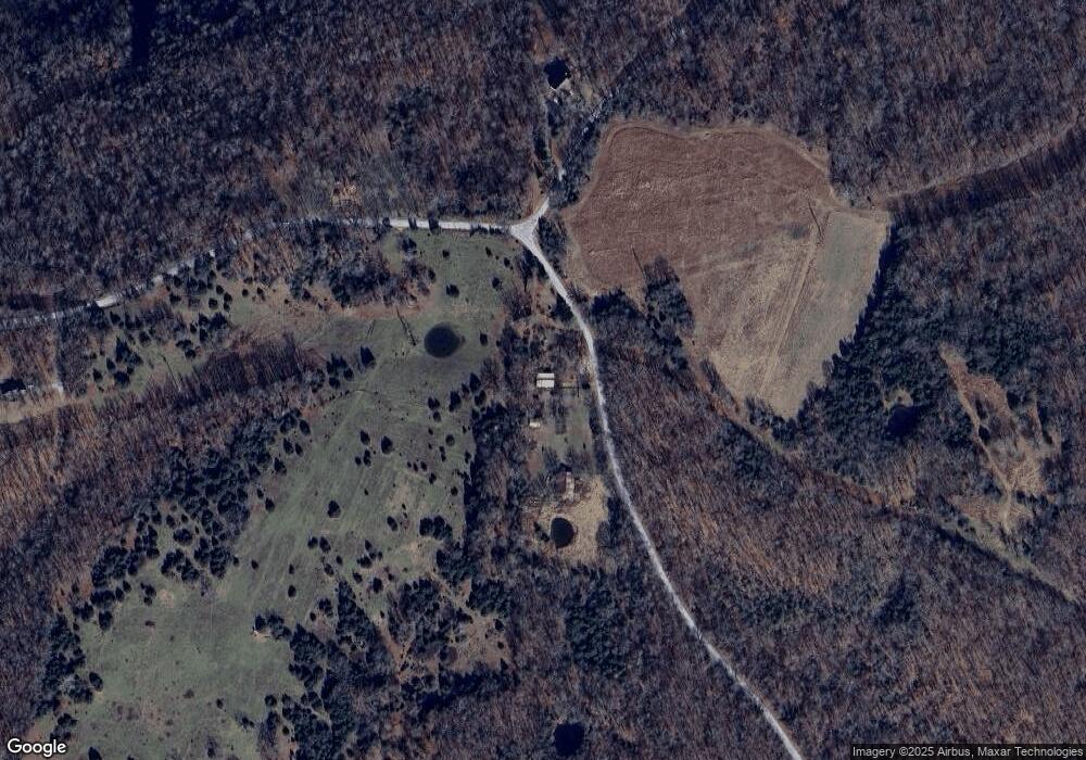
Map
Nearby Homes
- Lot 99 Brook Ct
- Lot 102 Brook Ct
- 0 Cane Island Rd
- 1 Marion County 7002
- Lots 49/50 Marion County 7002
- 343 Marion County 7002
- 598 River Bend Dr
- 5501 Marion County 7001
- 924 County Road 174
- 134 Cr 703
- Lts 25,26,27 Canyon View
- 001-02792-000 Marion County 7001
- 40 Island Head Ln
- 000 Cr 1121
- 006-02993-000 Hwy 178
- 6173 Hwy 178
- TBD Marion County 7005
- 5 Sowbug Cir
- 38 Devonshire Cir
- 2465 Denton Ferry Rd
- 46 Marion County 7002
- 142 Marion County 7002
- 142 Marion County 7002
- Lot 50 Mc 7002
- 674 Cane Island Rd
- 515 Cane Island Rd
- 750 Cane Island Rd
- 3309 Marion County 7001
- 26 Cane Island Rd
- Lot 102 Brooks Ct
- 3369 Marion County 7001
- 94 & 102 Mc 7004
- 4121 Marion County 7001
- 372 Marion County 7002
- 372 Mc 7002
- 3232 Marion County 7001
- 3232 Marion County 7001
- 398 Marion County 7002
- 007-01519-000 Cane Island Rd
- Lot 52 Cane Island Rd