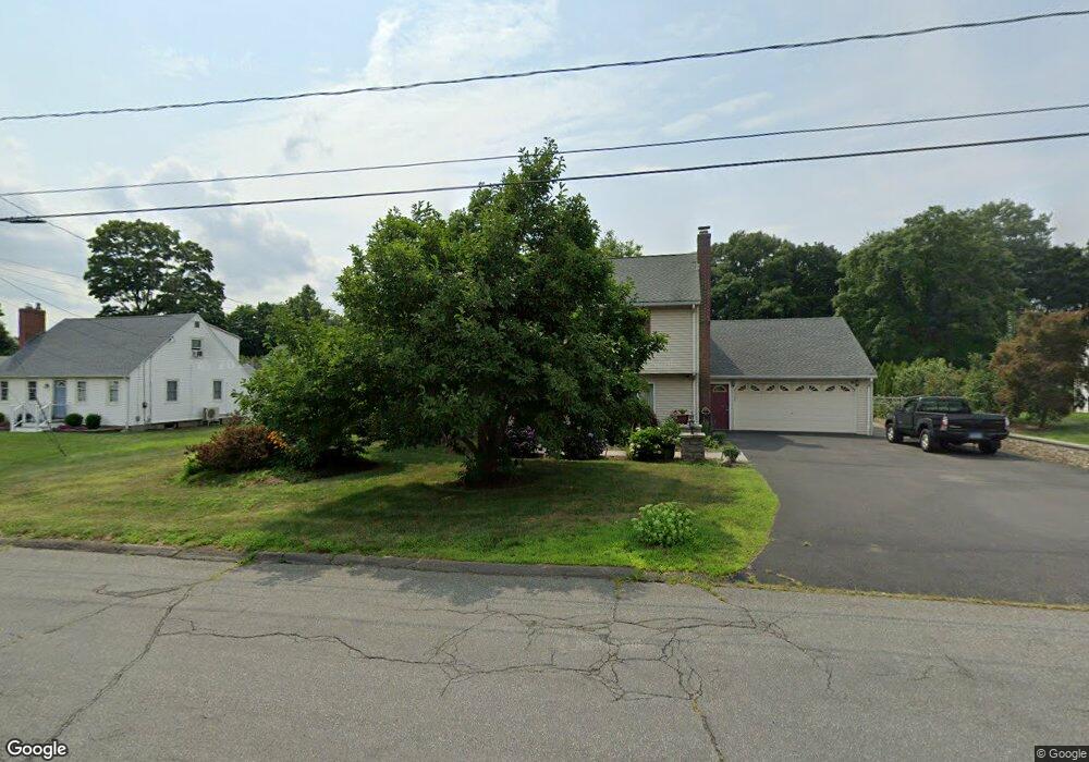
70 Woodruff Cir Berlin, CT 06037
Estimated Value: $421,000 - $477,000
4
Beds
2
Baths
2,364
Sq Ft
$194/Sq Ft
Est. Value
About This Home
This home is located at 70 Woodruff Cir, Berlin, CT 06037 and is currently estimated at $458,350, approximately $193 per square foot. 70 Woodruff Cir is a home located in Hartford County with nearby schools including Richard D. Hubbard School, Catherine M. Mcgee Middle School, and Berlin High School.
Ownership History
Date
Name
Owned For
Owner Type
Purchase Details
Closed on
Mar 9, 2025
Sold by
Savi Alessandro and Savi Lucia
Bought by
Savi T and Savi
Current Estimated Value
Purchase Details
Closed on
Aug 18, 1992
Sold by
Regina John and Regina Marylor
Bought by
Savi Alessandro and Savi Lucia
Create a Home Valuation Report for This Property
The Home Valuation Report is an in-depth analysis detailing your home's value as well as a comparison with similar homes in the area
Home Values in the Area
Average Home Value in this Area
Purchase History
| Date | Buyer | Sale Price | Title Company |
|---|---|---|---|
| Savi T | -- | None Available | |
| Savi T | -- | None Available | |
| Savi Alessandro | $145,000 | -- | |
| Savi Alessandro | $145,000 | -- |
Source: Public Records
Mortgage History
| Date | Status | Borrower | Loan Amount |
|---|---|---|---|
| Previous Owner | Savi Alessandro | $77,000 | |
| Previous Owner | Savi Alessandro | $61,000 | |
| Previous Owner | Savi Alessandro | $85,000 |
Source: Public Records
Tax History Compared to Growth
Tax History
| Year | Tax Paid | Tax Assessment Tax Assessment Total Assessment is a certain percentage of the fair market value that is determined by local assessors to be the total taxable value of land and additions on the property. | Land | Improvement |
|---|---|---|---|---|
| 2025 | $6,516 | $212,600 | $72,800 | $139,800 |
| 2024 | $6,423 | $212,600 | $72,800 | $139,800 |
| 2023 | $6,284 | $212,600 | $72,800 | $139,800 |
| 2022 | $6,131 | $178,700 | $66,900 | $111,800 |
| 2021 | $6,063 | $178,700 | $66,900 | $111,800 |
| 2020 | $6,063 | $178,700 | $66,900 | $111,800 |
| 2019 | $6,067 | $178,800 | $66,900 | $111,900 |
| 2018 | $5,811 | $178,800 | $66,900 | $111,900 |
| 2017 | $5,453 | $172,500 | $66,300 | $106,200 |
| 2016 | $5,228 | $169,700 | $66,300 | $103,400 |
| 2015 | $5,150 | $169,700 | $66,300 | $103,400 |
| 2014 | $4,908 | $169,700 | $66,300 | $103,400 |
Source: Public Records
Map
Nearby Homes
- 8 Ronal Dr
- 548 Worthington Ridge
- 0 Country Ct Unit 137 24077628
- 0 Country Ct Unit 134 24089873
- 1152 Worthington Ridge
- 1175 Worthington Ridge
- 5 Hawks Landing
- Lot 4 Burnham St
- 505 New Britain Rd
- 660/674 Church Rear St
- 52 Chestnut Ln
- 235 Orchard Ave
- 720 Farmington Ave
- 785 Norton Rd
- 49 Langdon Ct
- 303 New Britain Rd
- 405 Alling St
- 45 Dunlay St
- 33 Dunlay St
- 31 Glendale Ave
- 60 Woodruff Cir
- 80 Woodruff Cir
- 102 Woodruff Cir
- 50 Woodruff Cir
- 65 Woodruff Cir
- 83 Woodruff Cir
- 40 Woodruff Cir
- 19 Hamilton Dr
- 16 Hamilton Dr
- 47 Woodruff Cir
- 11 Ronal Dr
- 23 Juniper Ln
- 467 Worthington Ridge
- 467 Worthington Ridge Unit 1st floor
- 30 Woodruff Cir
- 26 Hamilton Dr
- 29 Hamilton Dr
- 459 Worthington Ridge
- 16 Mildrum Rd
- 485 Worthington Ridge