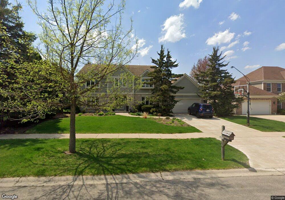
700 Bluegrass Dr Wheaton, IL 60189
North Danada NeighborhoodEstimated Value: $721,627 - $892,000
Studio
1
Bath
2,720
Sq Ft
$288/Sq Ft
Est. Value
About This Home
This home is located at 700 Bluegrass Dr, Wheaton, IL 60189 and is currently estimated at $782,657, approximately $287 per square foot. 700 Bluegrass Dr is a home located in DuPage County with nearby schools including Lincoln Elementary School, Edison Middle School, and Wheaton Warrenville South High School.
Ownership History
Date
Name
Owned For
Owner Type
Purchase Details
Closed on
Oct 18, 2017
Sold by
Malek Joseph L and Malek Collen H
Bought by
Malek Joseph L and Malek Colleen H
Current Estimated Value
Purchase Details
Closed on
Apr 29, 1999
Sold by
Biagini Steven F and Biagini Sandra L
Bought by
Hickey Malek Joseph L and Hickey Malek Colleen
Home Financials for this Owner
Home Financials are based on the most recent Mortgage that was taken out on this home.
Original Mortgage
$189,000
Outstanding Balance
$48,875
Interest Rate
7.05%
Estimated Equity
$733,782
Create a Home Valuation Report for This Property
The Home Valuation Report is an in-depth analysis detailing your home's value as well as a comparison with similar homes in the area
Home Values in the Area
Average Home Value in this Area
Purchase History
| Date | Buyer | Sale Price | Title Company |
|---|---|---|---|
| Malek Joseph L | -- | Attorney | |
| Hickey Malek Joseph L | $358,000 | -- |
Source: Public Records
Mortgage History
| Date | Status | Borrower | Loan Amount |
|---|---|---|---|
| Open | Hickey Malek Joseph L | $189,000 |
Source: Public Records
Tax History
| Year | Tax Paid | Tax Assessment Tax Assessment Total Assessment is a certain percentage of the fair market value that is determined by local assessors to be the total taxable value of land and additions on the property. | Land | Improvement |
|---|---|---|---|---|
| 2024 | $12,735 | $205,590 | $51,767 | $153,823 |
| 2023 | $12,248 | $189,240 | $47,650 | $141,590 |
| 2022 | $11,971 | $178,850 | $45,030 | $133,820 |
| 2021 | $11,933 | $174,600 | $43,960 | $130,640 |
| 2020 | $11,896 | $172,970 | $43,550 | $129,420 |
| 2019 | $11,626 | $168,400 | $42,400 | $126,000 |
| 2018 | $11,993 | $171,580 | $71,120 | $100,460 |
| 2017 | $11,819 | $165,250 | $68,500 | $96,750 |
| 2016 | $11,668 | $158,650 | $65,760 | $92,890 |
| 2015 | $11,585 | $151,360 | $62,740 | $88,620 |
| 2014 | $11,083 | $142,690 | $62,310 | $80,380 |
| 2013 | $10,798 | $143,120 | $62,500 | $80,620 |
Source: Public Records
Map
Nearby Homes
- 570 Riva Ct
- 1180 Mount Vernon Ct Unit C
- 1135 Mount Vernon Ct Unit B
- 1120 Mount Vernon Ct Unit C
- 1129 Rhodes Ct
- 24 Winners Cup Cir Unit 3
- 1026 Briarcliffe Blvd
- 840 Sheldon Ct Unit B
- 1720 Lakecliffe Dr Unit A
- 1705 Lakecliffe Dr Unit D
- 1733 Harrow Ct Unit B
- 1265 Windsor Dr
- 1581 Groton Ln
- 1678 Groton Ct
- 76 Somerset Cir
- 141 Loretto Ct
- 1601 Castbourne Ct
- 1216 E Elm St
- 1219 Golf Ln
- 1344 S Lorraine Rd Unit C
- 110 Christina Cir
- 1727 Austin Ct
- 106 Christina Cir
- 630 Bluegrass Dr
- 709 Bluegrass Dr
- 1731 Austin Ct
- 1721 Austin Ct
- 705 Bluegrass Dr
- 600 Bluegrass Dr
- 675 Bluegrass Dr
- 111 Christina Cir
- 109 Christina Cir
- 115 Christina Cir
- 130 Christina Cir
- 655 Bluegrass Dr
- 105 Christina Cir
- 540 Bluegrass Dr
- 1720 Austin Ct
- 625 Bluegrass Dr
- 1728 Austin Ct
Your Personal Tour Guide
Ask me questions while you tour the home.