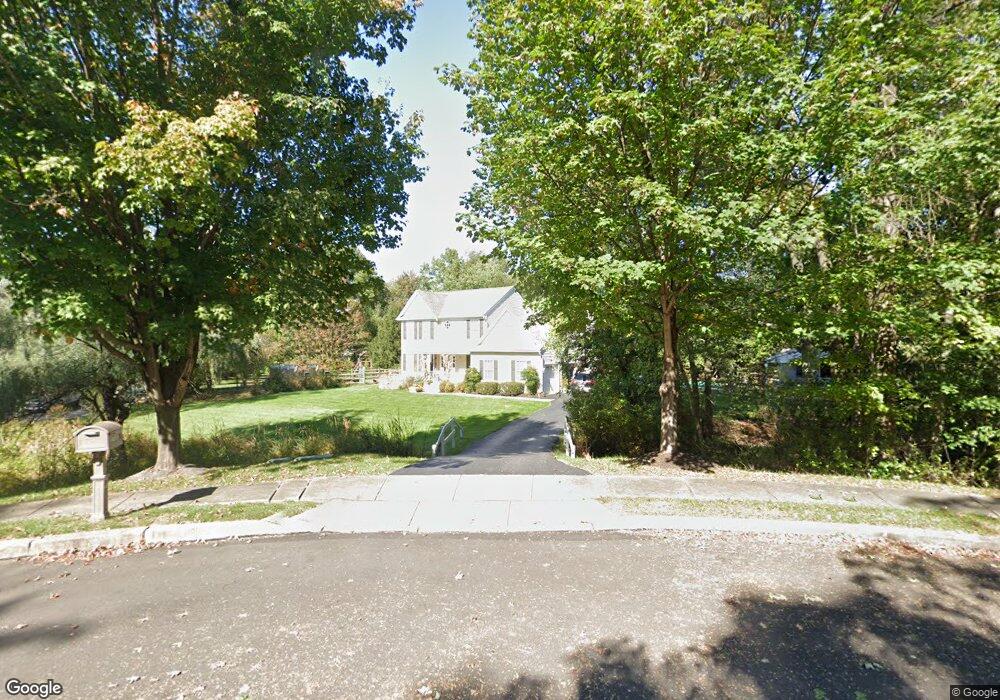
700 Buckstone Dr Southampton, PA 18966
Estimated Value: $687,000 - $739,000
3
Beds
3
Baths
2,182
Sq Ft
$326/Sq Ft
Est. Value
About This Home
This home is located at 700 Buckstone Dr, Southampton, PA 18966 and is currently estimated at $710,697, approximately $325 per square foot. 700 Buckstone Dr is a home located in Bucks County with nearby schools including Davis Elementary School, Klinger Middle School, and William Tennent High School.
Ownership History
Date
Name
Owned For
Owner Type
Purchase Details
Closed on
Sep 30, 1998
Sold by
Foundation Land Corp
Bought by
Eavis Karen and Eavis Thomas
Current Estimated Value
Home Financials for this Owner
Home Financials are based on the most recent Mortgage that was taken out on this home.
Original Mortgage
$163,900
Interest Rate
6.64%
Create a Home Valuation Report for This Property
The Home Valuation Report is an in-depth analysis detailing your home's value as well as a comparison with similar homes in the area
Home Values in the Area
Average Home Value in this Area
Purchase History
| Date | Buyer | Sale Price | Title Company |
|---|---|---|---|
| Eavis Karen | $211,600 | -- |
Source: Public Records
Mortgage History
| Date | Status | Borrower | Loan Amount |
|---|---|---|---|
| Closed | Eavis Karen | $163,900 |
Source: Public Records
Tax History
| Year | Tax Paid | Tax Assessment Tax Assessment Total Assessment is a certain percentage of the fair market value that is determined by local assessors to be the total taxable value of land and additions on the property. | Land | Improvement |
|---|---|---|---|---|
| 2025 | $9,197 | $43,000 | $12,200 | $30,800 |
| 2024 | $9,197 | $43,000 | $12,200 | $30,800 |
| 2023 | $8,918 | $43,000 | $12,200 | $30,800 |
| 2022 | $8,730 | $43,000 | $12,200 | $30,800 |
| 2021 | $8,572 | $43,000 | $12,200 | $30,800 |
| 2020 | $8,454 | $43,000 | $12,200 | $30,800 |
| 2019 | $8,142 | $43,000 | $12,200 | $30,800 |
| 2018 | $7,955 | $43,000 | $12,200 | $30,800 |
| 2017 | $7,730 | $43,000 | $12,200 | $30,800 |
| 2016 | $7,730 | $43,000 | $12,200 | $30,800 |
| 2015 | -- | $43,000 | $12,200 | $30,800 |
| 2014 | -- | $43,000 | $12,200 | $30,800 |
Source: Public Records
Map
Nearby Homes
- 634 Nicole Dr
- 621 Nicole Dr
- 325 Charles St
- 190 New Rd
- 932 Rozel Ave
- 756 Street Rd Unit 1
- 771 Willow St
- 801 Cybus Way
- 1027 Rozel Ave
- 0 Kingsclere Dr
- 73 Springwood Dr
- 64 Springwood Dr
- 1 Second Street Pike
- 633 Provident Rd
- 1291 Mettler Rd
- 2014 Jason Dr
- 649 Provident Rd
- 1328 Mettler Rd
- 1210 Mettler Rd
- 681 Provident Rd
- 690 Buckstone Dr
- 605 Andrew Dr
- 715 Buckstone Dr
- 705 Buckstone Dr
- 695 Buckstone Dr
- 595 Andrew Dr
- 685 Buckstone Dr
- 636 Nicole Dr
- 615 Andrew Dr
- 638 Nicole Dr
- 680 Buckstone Dr
- 632 Nicole Dr
- 675 Buckstone Dr
- 550 Zinn Dr
- 552 Zinn Dr
- 630 Nicole Dr
- 670 Buckstone Dr
- 554 Zinn Dr
- 631 Nicole Dr
- 665 Buckstone Dr
Your Personal Tour Guide
Ask me questions while you tour the home.