700 Canaan Land Rd Harrodsburg, KY 40330
Estimated Value: $421,000
5
Beds
5
Baths
1,989
Sq Ft
$212/Sq Ft
Est. Value
About This Home
This home is located at 700 Canaan Land Rd, Harrodsburg, KY 40330 and is currently estimated at $421,000, approximately $211 per square foot. 700 Canaan Land Rd is a home located in Mercer County with nearby schools including Mercer County Elementary School, Mercer County Intermediate School, and King Middle School.
Ownership History
Date
Name
Owned For
Owner Type
Purchase Details
Closed on
Jun 30, 2011
Sold by
Whitaker Bank Inc
Bought by
Burdett Matthew J and Burdett
Current Estimated Value
Home Financials for this Owner
Home Financials are based on the most recent Mortgage that was taken out on this home.
Original Mortgage
$390,000
Interest Rate
4.57%
Purchase Details
Closed on
Dec 10, 2008
Sold by
Fryer Mark and Fryer Ann
Bought by
Mcintosh Marvin Alan and Mcintosh Elizabeth Grace
Create a Home Valuation Report for This Property
The Home Valuation Report is an in-depth analysis detailing your home's value as well as a comparison with similar homes in the area
Home Values in the Area
Average Home Value in this Area
Purchase History
| Date | Buyer | Sale Price | Title Company |
|---|---|---|---|
| Burdett Matthew J | -- | -- | |
| Mcintosh Marvin Alan | -- | -- |
Source: Public Records
Mortgage History
| Date | Status | Borrower | Loan Amount |
|---|---|---|---|
| Closed | Burdett Matthew J | $390,000 |
Source: Public Records
Tax History Compared to Growth
Tax History
| Year | Tax Paid | Tax Assessment Tax Assessment Total Assessment is a certain percentage of the fair market value that is determined by local assessors to be the total taxable value of land and additions on the property. | Land | Improvement |
|---|---|---|---|---|
| 2024 | $4,652 | $389,263 | $11,227 | $378,036 |
| 2023 | $4,695 | $389,263 | $0 | $0 |
| 2022 | $4,598 | $389,263 | $0 | $0 |
| 2021 | $4,510 | $379,320 | $0 | $0 |
| 2020 | $4,491 | $379,320 | $11,227 | $368,093 |
| 2019 | $4,559 | $379,320 | $11,227 | $368,093 |
| 2018 | $4,457 | $379,320 | $0 | $0 |
| 2017 | $4,305 | $379,320 | $0 | $0 |
| 2016 | $4,260 | $382,373 | $0 | $0 |
| 2015 | $4,141 | $382,373 | $9,250 | $373,123 |
| 2014 | $4,141 | $382,373 | $0 | $0 |
| 2010 | -- | $411,019 | $9,250 | $401,769 |
Source: Public Records
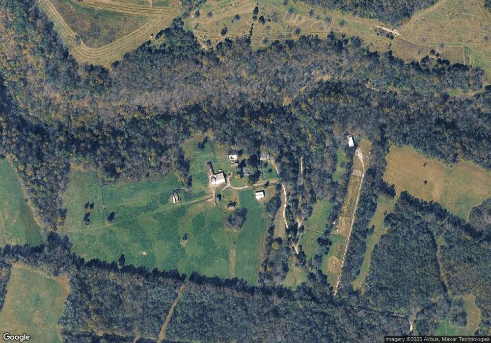
Map
Nearby Homes
- 840 A T Dean Rd
- 4122 Lexington Rd
- 4160 Lexington Rd
- 155 Old Sawmill Rd
- 318 Sexton Rd
- 95 Mundys Landing Rd
- 12641 Troy Pike
- 280 Dix Dam Rd
- 1975 High Bridge Rd
- 999 High Bridge Rd
- 987 Pauls Mill Rd
- 207 Grandview Trail
- 10 Grandview Trail
- 12 Grandview Trail
- 18 Grandview Trail
- 11 Grandview Trail
- 13 Grandview Trail
- 9581 Harrodsburg Rd
- 707 Brasher St
- 108 Peaceful Landing
- 571 Canaan Land Rd
- 682 A T Dean Road (Tract E)
- 533 A T Dean Rd
- 0 Bruce Morgan Rd
- 425 A T Dean Rd
- 4427 Lexington Rd
- 1 A T Dean Rd Unit Tract 2
- 0 A T Dean Rd Unit Tract 1
- 800 A T Dean Rd Unit Tract D
- 700 A T Dean Rd Unit Tract E
- 5 A T Dean Rd
- 4 A T Dean Rd
- 3 A T Dean Rd
- 1 A T Dean Rd
- 2 A T Dean Rd
- 4351 Lexington Rd
- Tract 1 at Dean Rd
- 4169 Lexington Rd
- 115 Canaan Land Rd
- 933 A T Dean Rd