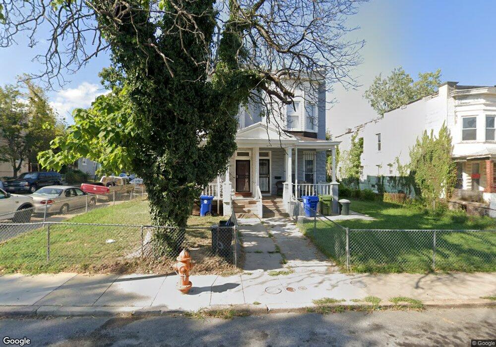
700 Cator Ave Baltimore, MD 21218
Pen Lucy NeighborhoodEstimated Value: $150,000 - $181,921
Studio
1
Bath
1,728
Sq Ft
$96/Sq Ft
Est. Value
About This Home
This home is located at 700 Cator Ave, Baltimore, MD 21218 and is currently estimated at $165,961, approximately $96 per square foot. 700 Cator Ave is a home located in Baltimore City with nearby schools including Walter P. Carter Elementary School, Booker T. Washington Middle School, and Paul Laurence Dunbar High School.
Ownership History
Date
Name
Owned For
Owner Type
Purchase Details
Closed on
Nov 4, 2022
Sold by
Marion I & Henry J Knott Foundation Inc
Bought by
Morents Llc
Current Estimated Value
Purchase Details
Closed on
Mar 12, 2009
Sold by
Jennings Lanise R
Bought by
Thompson Lanise R
Purchase Details
Closed on
Apr 6, 1998
Sold by
St Ambrose Housing Aid
Bought by
Jennings Lanise R
Purchase Details
Closed on
Aug 2, 1996
Sold by
Secretary Of Housing
Bought by
St Ambrose Housing Aid and Center, Inc
Purchase Details
Closed on
Jan 25, 1994
Sold by
Jones C
Bought by
Secretary Of H U D
Create a Home Valuation Report for This Property
The Home Valuation Report is an in-depth analysis detailing your home's value as well as a comparison with similar homes in the area
Home Values in the Area
Average Home Value in this Area
Purchase History
| Date | Buyer | Sale Price | Title Company |
|---|---|---|---|
| Morents Llc | $149,938 | -- | |
| Thompson Lanise R | -- | -- | |
| Jennings Lanise R | $48,000 | -- | |
| St Ambrose Housing Aid | $2,100 | -- | |
| Secretary Of H U D | $41,161 | -- |
Source: Public Records
Tax History
| Year | Tax Paid | Tax Assessment Tax Assessment Total Assessment is a certain percentage of the fair market value that is determined by local assessors to be the total taxable value of land and additions on the property. | Land | Improvement |
|---|---|---|---|---|
| 2025 | $3,271 | $149,700 | $30,000 | $119,700 |
| 2024 | $3,271 | $139,267 | -- | -- |
| 2023 | $3,026 | $128,833 | $0 | $0 |
| 2022 | $2,794 | $118,400 | $30,000 | $88,400 |
| 2021 | $2,736 | $115,933 | $0 | $0 |
| 2020 | $2,678 | $113,467 | $0 | $0 |
| 2019 | $2,607 | $111,000 | $30,000 | $81,000 |
| 2018 | $2,620 | $111,000 | $30,000 | $81,000 |
| 2017 | $2,620 | $111,000 | $0 | $0 |
| 2016 | $2,617 | $115,200 | $0 | $0 |
| 2015 | $2,617 | $113,633 | $0 | $0 |
| 2014 | $2,617 | $112,067 | $0 | $0 |
Source: Public Records
Map
Nearby Homes
- 631 Cator Ave
- 611 Cator Ave
- 705 E 41st St
- 4010 Wilsby Ave
- 521 Rose Hill Terrace
- 3936 Lowndes Ave
- 3953 Wilsby Ave
- 608 Springfield Ave
- 3934 Frisby St
- 822 E 41st St
- 827 Belgian Ave
- 739 Springfield Ave
- 36 York Ct
- 7 York Ct
- 701 E 43rd St
- 4201 Ivanhoe Ave
- 929 E 41st St
- 918 Argonne Dr
- 504 E 43rd St
- 3800 Old York Rd
Your Personal Tour Guide
Ask me questions while you tour the home.