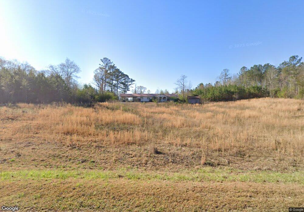
700 County Road 286 Roanoke, AL 36274
Estimated Value: $354,000
--
Bed
--
Bath
2,466
Sq Ft
$144/Sq Ft
Est. Value
About This Home
This home is located at 700 County Road 286, Roanoke, AL 36274 and is currently estimated at $354,000, approximately $143 per square foot. 700 County Road 286 is a home.
Ownership History
Date
Name
Owned For
Owner Type
Purchase Details
Closed on
Sep 30, 2025
Sold by
Baker James H and Baker Linda R
Bought by
Burks Kimberly A and Burks Kenneth J
Current Estimated Value
Home Financials for this Owner
Home Financials are based on the most recent Mortgage that was taken out on this home.
Original Mortgage
$188,000
Outstanding Balance
$187,331
Interest Rate
5.6%
Mortgage Type
New Conventional
Estimated Equity
$166,669
Purchase Details
Closed on
Jan 28, 2021
Sold by
Baker James H
Bought by
Baker James H and Baker Linda R
Create a Home Valuation Report for This Property
The Home Valuation Report is an in-depth analysis detailing your home's value as well as a comparison with similar homes in the area
Home Values in the Area
Average Home Value in this Area
Purchase History
| Date | Buyer | Sale Price | Title Company |
|---|---|---|---|
| Burks Kimberly A | $235,000 | None Listed On Document | |
| Baker James H | -- | None Listed On Document | |
| Baker James H | -- | None Listed On Document |
Source: Public Records
Mortgage History
| Date | Status | Borrower | Loan Amount |
|---|---|---|---|
| Open | Burks Kimberly A | $188,000 |
Source: Public Records
Tax History Compared to Growth
Tax History
| Year | Tax Paid | Tax Assessment Tax Assessment Total Assessment is a certain percentage of the fair market value that is determined by local assessors to be the total taxable value of land and additions on the property. | Land | Improvement |
|---|---|---|---|---|
| 2024 | $710 | $22,060 | $9,920 | $12,140 |
| 2023 | $710 | $14,700 | $3,020 | $11,680 |
| 2022 | $669 | $14,700 | $3,020 | $11,680 |
| 2021 | $0 | $14,700 | $3,020 | $11,680 |
| 2020 | $289 | $14,700 | $3,020 | $11,680 |
| 2018 | $0 | $14,120 | $2,580 | $11,540 |
| 2017 | $0 | $14,100 | $2,560 | $11,540 |
| 2016 | $287 | $13,320 | $2,480 | $10,840 |
| 2015 | $287 | $194,841 | $0 | $0 |
| 2014 | -- | $194,841 | $0 | $0 |
| 2013 | -- | $194,841 | $0 | $0 |
Source: Public Records
Map
Nearby Homes
- 431 County Road 30
- 0 County Road 655 Unit 25188732
- 0 County Road 655
- 0 County Road 655 Unit 177093
- TRACT 3 Sheppard Rd
- 0 County Road 684 Unit 21414226
- 250 Glenn Mill Farms
- 4470 County Road 87
- 4377 Rock Mills Rd
- 1440 Butler Rd
- 192 Cody Rd
- 57+/- Ac Victory Rd
- 14.8 +/- AC Bethel Rd W
- 18 +/- AC Bethel Rd W
- 0 County Road 87 Unit 23688959
- 18+/- Ac Bethel Rd W
- 0 Drummond Rd Unit 10576586
- 0 Drummond Rd Unit 7642521
- 14.8 + - Ac Bethel Rd W
- 0 Cauthen Cir Unit Lot 12 21404430
- 736 County Road 286
- 343 County Road 286
- 125 County Road 286
- 125 County Road 286
- 125 County Road 286
- 125 County Road 286
- 841 County Road 286
- 749 County Road 17
- 1051 County Road 286
- 1051 County Road 286 Unit 23
- 743 County Road 20
- 695 County Road 20
- 1041 County Road 17
- 1251 County Road 20
- 331 County Road 17
- 1099 County Road 20
- 99 County Road 286
- 1045 County Road 20
- 826 County Road 20
- 484 County Road 20