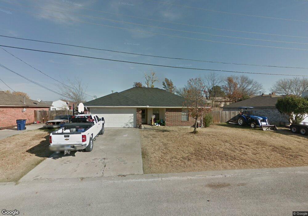
700 Crestridge Ct Decatur, TX 76234
Estimated Value: $263,000 - $290,000
--
Bed
--
Bath
1,151
Sq Ft
$240/Sq Ft
Est. Value
About This Home
This home is located at 700 Crestridge Ct, Decatur, TX 76234 and is currently estimated at $276,305, approximately $240 per square foot. 700 Crestridge Ct is a home located in Wise County with nearby schools including Decatur High School and Victory Christian Academy.
Ownership History
Date
Name
Owned For
Owner Type
Purchase Details
Closed on
Feb 9, 2018
Sold by
Fogle Michael and Fogle Amy
Bought by
Nguyen Tuyet Mth
Current Estimated Value
Purchase Details
Closed on
Jul 6, 2017
Sold by
Daniel Mark and Daniel Kimberly
Bought by
Fogle Micheal Dwain and Fogle Amy
Purchase Details
Closed on
Mar 8, 2005
Sold by
Klement Karl
Bought by
Fogle Michael and Fogle Amy
Create a Home Valuation Report for This Property
The Home Valuation Report is an in-depth analysis detailing your home's value as well as a comparison with similar homes in the area
Home Values in the Area
Average Home Value in this Area
Purchase History
| Date | Buyer | Sale Price | Title Company |
|---|---|---|---|
| Nguyen Tuyet Mth | -- | Wise County Title Company | |
| Fogle Micheal Dwain | -- | Guardian Title | |
| Fogle Michael | -- | -- |
Source: Public Records
Tax History Compared to Growth
Tax History
| Year | Tax Paid | Tax Assessment Tax Assessment Total Assessment is a certain percentage of the fair market value that is determined by local assessors to be the total taxable value of land and additions on the property. | Land | Improvement |
|---|---|---|---|---|
| 2025 | $3,386 | $265,354 | $67,421 | $197,933 |
| 2024 | $3,386 | $243,057 | $0 | $0 |
| 2023 | $4,008 | $220,961 | $0 | $0 |
| 2022 | $4,399 | $200,874 | $0 | $0 |
| 2021 | $4,167 | $197,380 | $33,880 | $163,500 |
| 2020 | $3,894 | $166,010 | $31,760 | $134,250 |
| 2019 | $3,961 | $159,820 | $31,760 | $128,060 |
| 2018 | $3,409 | $136,700 | $14,820 | $121,880 |
| 2017 | $3,111 | $123,050 | $12,710 | $110,340 |
| 2016 | $2,828 | $108,970 | $12,710 | $96,260 |
| 2015 | -- | $110,100 | $12,710 | $97,390 |
| 2014 | -- | $104,930 | $12,710 | $92,220 |
Source: Public Records
Map
Nearby Homes
- 606 W Mulberry St
- 304 Cyndilu Ln
- 407 N Lane St
- 4112 U S 380
- 50+/- acres U S 380
- 0 N Hwy 287 Unit 25379920
- 101 E Mulberry St
- 700 N Church St
- 802 N Church St
- W W Rose Ave
- 903 N Miller St
- 114 Sondra Lin Blvd
- 1 S Martin Extension
- 601 W Brady St
- 307 E Vernon St
- 401 S Holman St
- 602 N Cates St
- 1404 Shady Ln
- 1408 N Business 287
- TBD Farm To Market 51
- 608 Crestridge Ct
- 702 Crestridge Ct
- 702 Parkridge Dr
- 701 N Cowan St
- 703 N Cowan St
- 607 N Cowan St
- 704 Crestridge Ct
- 606 Crestridge Ct
- 701 Parkridge Dr
- 607 W Mulberry St
- 701 W Mulberry St
- 605 N Cowan St
- 704 Parkridge Dr
- 604 Crestridge Ct
- 703 W Mulberry St
- 703 Parkridge Dr
- 603 N Cowan St
- 706 Parkridge Dr
- 604 W Mulberry St
- 603 Crestridge Ct