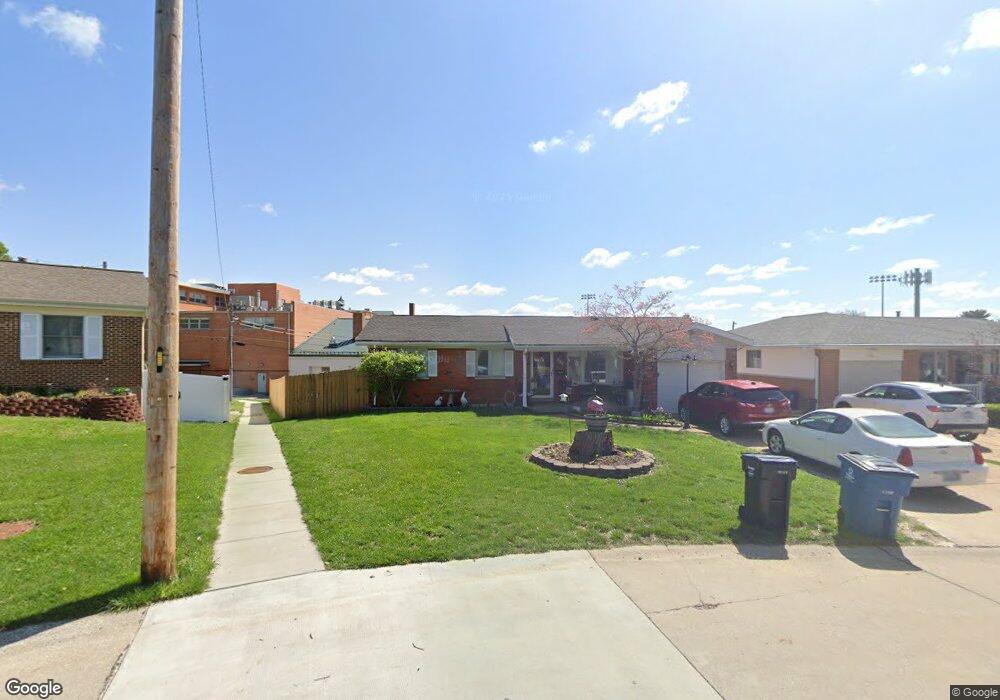
700 Don Ron Dr Saint Louis, MO 63123
Lemay NeighborhoodEstimated Value: $273,000 - $295,000
3
Beds
3
Baths
1,380
Sq Ft
$204/Sq Ft
Est. Value
About This Home
This home is located at 700 Don Ron Dr, Saint Louis, MO 63123 and is currently estimated at $281,585, approximately $204 per square foot. 700 Don Ron Dr is a home located in St. Louis County with nearby schools including Bayless Elementary School, Bayless Junior High School, and Bayless Senior High School.
Ownership History
Date
Name
Owned For
Owner Type
Purchase Details
Closed on
Dec 12, 2003
Sold by
Desnoyer George D and Desnoyer Christine
Bought by
Sechrest Russell D and Sechrest Susan L
Current Estimated Value
Home Financials for this Owner
Home Financials are based on the most recent Mortgage that was taken out on this home.
Original Mortgage
$114,000
Outstanding Balance
$55,101
Interest Rate
6.5%
Mortgage Type
Purchase Money Mortgage
Estimated Equity
$226,484
Purchase Details
Closed on
May 22, 1998
Sold by
Finocchiaro Daniel A and Finocchiaro Theresa
Bought by
Desnoyer George D and Desnoyer Christine
Home Financials for this Owner
Home Financials are based on the most recent Mortgage that was taken out on this home.
Original Mortgage
$89,600
Interest Rate
7.25%
Create a Home Valuation Report for This Property
The Home Valuation Report is an in-depth analysis detailing your home's value as well as a comparison with similar homes in the area
Home Values in the Area
Average Home Value in this Area
Purchase History
| Date | Buyer | Sale Price | Title Company |
|---|---|---|---|
| Sechrest Russell D | $142,500 | Capital Title | |
| Desnoyer George D | -- | -- |
Source: Public Records
Mortgage History
| Date | Status | Borrower | Loan Amount |
|---|---|---|---|
| Open | Sechrest Russell D | $114,000 | |
| Previous Owner | Desnoyer George D | $89,600 | |
| Closed | Sechrest Russell D | $14,250 |
Source: Public Records
Tax History
| Year | Tax Paid | Tax Assessment Tax Assessment Total Assessment is a certain percentage of the fair market value that is determined by local assessors to be the total taxable value of land and additions on the property. | Land | Improvement |
|---|---|---|---|---|
| 2025 | $2,995 | $48,720 | $12,620 | $36,100 |
| 2024 | $2,995 | $41,210 | $6,800 | $34,410 |
| 2023 | $2,995 | $41,210 | $6,800 | $34,410 |
| 2022 | $2,958 | $34,980 | $7,770 | $27,210 |
| 2021 | $2,677 | $34,980 | $7,770 | $27,210 |
| 2020 | $2,715 | $32,870 | $8,630 | $24,240 |
| 2019 | $2,708 | $32,870 | $8,630 | $24,240 |
| 2018 | $2,615 | $28,140 | $6,710 | $21,430 |
| 2017 | $2,456 | $28,140 | $6,710 | $21,430 |
| 2016 | $2,438 | $27,480 | $5,760 | $21,720 |
| 2015 | $2,449 | $27,480 | $5,760 | $21,720 |
| 2014 | $2,157 | $24,090 | $5,830 | $18,260 |
Source: Public Records
Map
Nearby Homes
- 733 Forman Rd
- 4409 Fatima Dr
- 4909 Arbors at Stonegate Ct
- 8706 Fatima Dr
- 4469 Mohegan Dr
- 9039 Philo Ave
- 4348 Schmittwoods Ct
- 4955 Seibert Ave
- 4912 Tiemann Ave
- 8206 Gravois Rd
- 9115 Jonmar Ct
- 8530 Kathleen Ave
- 8009 Gravois Rd
- 4294 Kay Ln Unit 6
- 4851 Heidelberg Ave
- 4338 Seibert Ave
- 4678 Oldenburg Ave
- 4878 Heidelberg Ave
- 5138 Lode Ave
- 9018 Vasel Dr
- 708 Don Ron Dr
- 4601 Candace Dr
- 716 Don Ron Dr
- 4605 Candace Dr
- 705 Don Ron Dr
- 711 Don Ron Dr
- 4609 Candace Dr
- 724 Don Ron Dr
- 4600 Weber Rd
- 721 Don Ron Dr
- 4606 Weber Rd
- 706 Davemar Dr
- 4615 Candace Dr
- 4610 Weber Rd
- 712 Davemar Dr
- 732 Don Ron Dr
- 729 Don Ron Dr
- 720 Davemar Dr
- 4614 Weber Rd
- 4619 Candace Dr
Your Personal Tour Guide
Ask me questions while you tour the home.