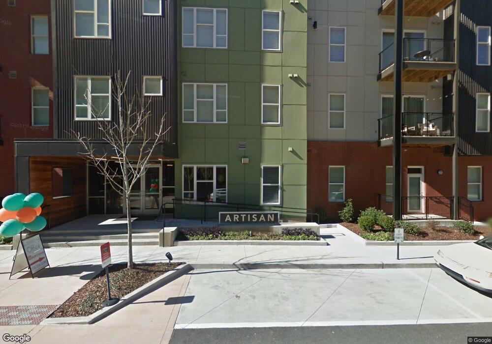
700 Dorothy Ford Ln SW Huntsville, AL 35801
Downtown Huntsville NeighborhoodEstimated Value: $398,000
--
Bed
2
Baths
190,784
Sq Ft
$2/Sq Ft
Est. Value
About This Home
This home is located at 700 Dorothy Ford Ln SW, Huntsville, AL 35801 and is currently estimated at $398,000, approximately $2 per square foot. 700 Dorothy Ford Ln SW is a home located in Madison County with nearby schools including Blossomwood Elementary School, Huntsville Junior High School, and Huntsville High School.
Ownership History
Date
Name
Owned For
Owner Type
Purchase Details
Closed on
Dec 15, 2020
Sold by
Twickenham Square Venture Llc
Bought by
Artisan At Twickenham Square Llc
Current Estimated Value
Home Financials for this Owner
Home Financials are based on the most recent Mortgage that was taken out on this home.
Original Mortgage
$40,625
Outstanding Balance
$36,335
Interest Rate
2.7%
Mortgage Type
Commercial
Estimated Equity
$354,665
Create a Home Valuation Report for This Property
The Home Valuation Report is an in-depth analysis detailing your home's value as well as a comparison with similar homes in the area
Home Values in the Area
Average Home Value in this Area
Purchase History
| Date | Buyer | Sale Price | Title Company |
|---|---|---|---|
| Artisan At Twickenham Square Llc | -- | None Listed On Document |
Source: Public Records
Mortgage History
| Date | Status | Borrower | Loan Amount |
|---|---|---|---|
| Open | Huntsville Multifamily Exchange Llc | $40,625 |
Source: Public Records
Tax History Compared to Growth
Tax History
| Year | Tax Paid | Tax Assessment Tax Assessment Total Assessment is a certain percentage of the fair market value that is determined by local assessors to be the total taxable value of land and additions on the property. | Land | Improvement |
|---|---|---|---|---|
| 2024 | $349,753 | $6,030,220 | $285,860 | $5,744,360 |
| 2023 | $349,753 | $6,030,220 | $285,860 | $5,744,360 |
| 2022 | $279,344 | $4,816,280 | $285,860 | $4,530,420 |
| 2021 | $244,170 | $4,209,820 | $285,860 | $3,923,960 |
| 2020 | $249,287 | $4,298,060 | $255,220 | $4,042,840 |
| 2019 | $253,796 | $4,375,800 | $241,060 | $4,134,740 |
| 2018 | $236,736 | $4,081,660 | $0 | $0 |
| 2017 | $236,736 | $4,081,660 | $0 | $0 |
| 2016 | $236,736 | $4,081,660 | $0 | $0 |
| 2015 | $236,736 | $4,081,660 | $0 | $0 |
| 2014 | $37,647 | $611,900 | $0 | $0 |
Source: Public Records
Map
Nearby Homes
- 2016 Sewanee Rd SW
- 2025 Sewanee Rd SW
- 1927 Vanderbilt Cir SW
- 2305 Billie Watkins St SW
- 1926 Vanderbilt Cir SW
- 207 Marsheutz Ave SW
- 203 Marsheutz Ave SW
- 201 Marsheutz Ave SW
- 410 Newman Ave SE
- 205 Marsheutz Ave SW
- 415 SE Newman Ave
- 212 Longwood Dr SE
- 209 Marsheutz Ave SE
- 2336 Brandon St SW
- 2401 Poincianna St SW
- 705 Eustis Ave SE
- 709 Eustis Ave SE
- 2014 Summer St SW
- 1005 Locust Ave SE
- 301 Holmes Ave NE Unit 204
- 700 Dorothy Ford Ln SW
- 800 Dr Joseph E Lowery Blvd SW
- 804 Turner St SW Unit A
- 804 Turner St SW Unit B
- 804 Turner St SW Unit C
- 808 Turner St SW
- 200 Davis Cir SW
- 205 Saint Clair Ave SW
- 521 Davis Cir SW
- 400 Governors Dr SW
- 304 Governors Dr SW
- 300 Governors Dr SW
- 2003 Sewanee Rd SW
- 2005 Sewanee Rd SW
- 2002 Sewanee Rd SW
- 115 Manning Dr SW Unit 2 B
- 115 Manning Dr SW Unit 202A
- 303 Williams Ave SW Unit 13
- 303 Williams Ave SW Unit mult
- 303 Williams Ave SW Unit 1131