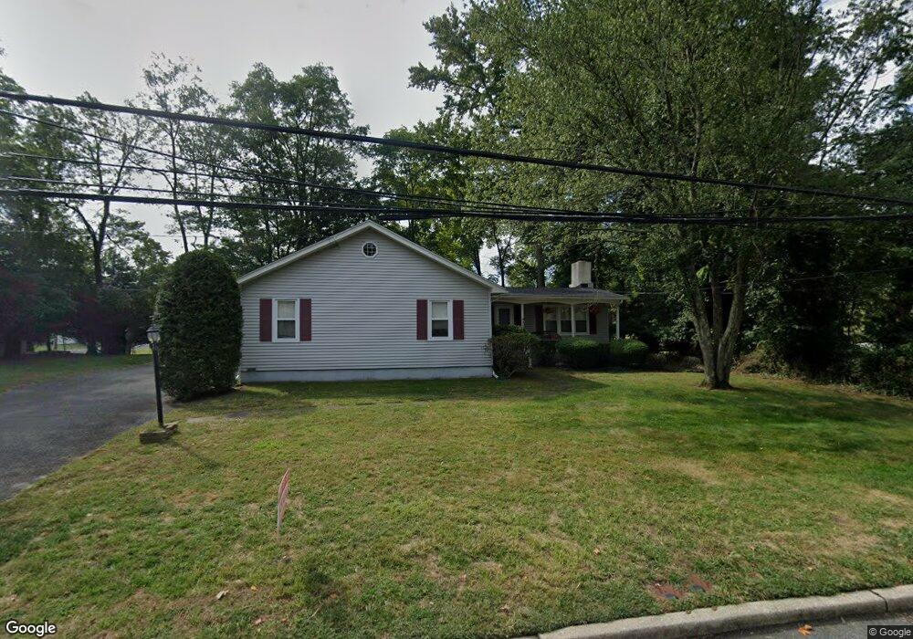
700 Dow Ave Oakhurst, NJ 07755
Estimated Value: $658,000 - $760,126
3
Beds
2
Baths
1,366
Sq Ft
$524/Sq Ft
Est. Value
About This Home
This home is located at 700 Dow Ave, Oakhurst, NJ 07755 and is currently estimated at $715,282, approximately $523 per square foot. 700 Dow Ave is a home located in Monmouth County with nearby schools including Ocean Township High School, St. Mary of the Assumption School, and Bet Yaakov of the Jersey Shore.
Ownership History
Date
Name
Owned For
Owner Type
Purchase Details
Closed on
Dec 7, 2010
Sold by
Bindrim Barbara
Bought by
Rose John N and Hayes Alexandra C
Current Estimated Value
Home Financials for this Owner
Home Financials are based on the most recent Mortgage that was taken out on this home.
Original Mortgage
$257,474
Outstanding Balance
$170,368
Interest Rate
4.25%
Mortgage Type
FHA
Estimated Equity
$544,914
Create a Home Valuation Report for This Property
The Home Valuation Report is an in-depth analysis detailing your home's value as well as a comparison with similar homes in the area
Home Values in the Area
Average Home Value in this Area
Purchase History
| Date | Buyer | Sale Price | Title Company |
|---|---|---|---|
| Rose John N | $275,000 | Coastal Title Agency Inc |
Source: Public Records
Mortgage History
| Date | Status | Borrower | Loan Amount |
|---|---|---|---|
| Open | Rose John N | $257,474 |
Source: Public Records
Tax History Compared to Growth
Tax History
| Year | Tax Paid | Tax Assessment Tax Assessment Total Assessment is a certain percentage of the fair market value that is determined by local assessors to be the total taxable value of land and additions on the property. | Land | Improvement |
|---|---|---|---|---|
| 2025 | $9,131 | $710,500 | $509,100 | $201,400 |
| 2024 | $9,772 | $640,300 | $443,600 | $196,700 |
| 2023 | $9,772 | $639,100 | $447,900 | $191,200 |
| 2022 | $8,127 | $531,600 | $349,600 | $182,000 |
| 2021 | $8,127 | $413,600 | $262,200 | $151,400 |
| 2020 | $8,167 | $410,200 | $262,200 | $148,000 |
| 2019 | $7,877 | $386,300 | $240,400 | $145,900 |
| 2018 | $7,832 | $374,000 | $234,900 | $139,100 |
| 2017 | $7,705 | $366,400 | $234,900 | $131,500 |
| 2016 | $6,743 | $288,400 | $185,700 | $102,700 |
| 2015 | $6,853 | $296,800 | $196,700 | $100,100 |
| 2014 | $6,627 | $290,900 | $194,300 | $96,600 |
Source: Public Records
Map
Nearby Homes
- 1904 Waverly St
- 710 Dow Ave
- 130 Woolley Ct
- 1903 Melville St
- 2025 Lesser Pkwy
- 6 Arlington St
- 123 Woolley Ct
- 55 Cotswold Cir
- 6 Lotus Ct
- 179 Woolley Ct
- 18 Branch Rd
- 120 Whalepond Rd
- 4 Rothbury Ct
- 186 Whalepond Rd
- 27 Branch Rd
- 116 Cotswold Cir
- 471 W Park Ave
- 156 Belmar Ave
- 221 Harrison Ave
- 149 Jefferson Dr