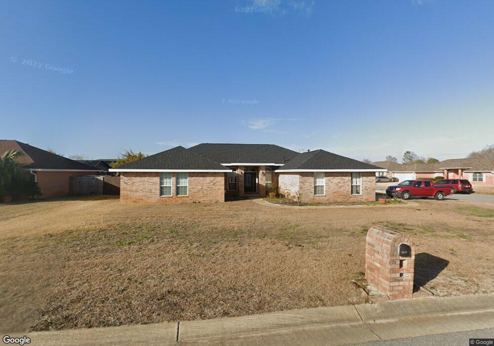
700 Ferdinand Dr Pensacola, FL 32507
Southwest Pensacola NeighborhoodEstimated Value: $412,000 - $571,000
--
Bed
3
Baths
2,698
Sq Ft
$172/Sq Ft
Est. Value
About This Home
This home is located at 700 Ferdinand Dr, Pensacola, FL 32507 and is currently estimated at $464,259, approximately $172 per square foot. 700 Ferdinand Dr is a home located in Escambia County with nearby schools including Hellen Caro Elementary School, Jim C. Bailey Middle School, and Escambia High School.
Ownership History
Date
Name
Owned For
Owner Type
Purchase Details
Closed on
Jan 23, 2023
Sold by
Lee Charles
Bought by
Lee Justin and Lee Jessica
Current Estimated Value
Purchase Details
Closed on
Mar 6, 1997
Sold by
Adams Homes Nw Fl Inc
Bought by
Lee Roxanne and Lee Charles
Home Financials for this Owner
Home Financials are based on the most recent Mortgage that was taken out on this home.
Original Mortgage
$114,855
Interest Rate
7.88%
Create a Home Valuation Report for This Property
The Home Valuation Report is an in-depth analysis detailing your home's value as well as a comparison with similar homes in the area
Home Values in the Area
Average Home Value in this Area
Purchase History
| Date | Buyer | Sale Price | Title Company |
|---|---|---|---|
| Lee Justin | $85,800 | Stewart Title | |
| Lee Roxanne | $120,900 | -- |
Source: Public Records
Mortgage History
| Date | Status | Borrower | Loan Amount |
|---|---|---|---|
| Previous Owner | Lee Roxanne | $114,855 |
Source: Public Records
Tax History Compared to Growth
Tax History
| Year | Tax Paid | Tax Assessment Tax Assessment Total Assessment is a certain percentage of the fair market value that is determined by local assessors to be the total taxable value of land and additions on the property. | Land | Improvement |
|---|---|---|---|---|
| 2024 | $1,816 | $355,265 | $45,000 | $310,265 |
| 2023 | $1,816 | $172,742 | $0 | $0 |
| 2022 | $1,827 | $167,711 | $0 | $0 |
| 2021 | $1,822 | $162,827 | $0 | $0 |
| 2020 | $1,773 | $160,579 | $0 | $0 |
| 2019 | $1,739 | $156,969 | $0 | $0 |
| 2018 | $1,735 | $154,043 | $0 | $0 |
| 2017 | $1,729 | $150,875 | $0 | $0 |
| 2016 | $1,715 | $147,772 | $0 | $0 |
| 2015 | $1,711 | $146,745 | $0 | $0 |
| 2014 | $1,704 | $145,581 | $0 | $0 |
Source: Public Records
Map
Nearby Homes
- 1204 Bartram Ln
- 1015 Glades Ln
- 1473 Cacao Ln
- 4122 Cobia St
- 4007 Shorewood Dr
- 4085 Cobia St
- 26 Mirror Lake Ct
- 21 Mirror Lake Ct
- 5099 Leeward Dr
- 4978 Leeward Dr
- 4972 Leeward Dr
- 10690 Close Hauled Rd
- 520 Downhaul Dr
- 4986 Vizcaya Dr
- 10671 & 10675 Squall Line Rd
- 10540 Squall Line Rd
- 10670 Noreaster Way
- 554 Downhaul Dr
- 11655 Chanticleer Ct
- 1098 Chandelle Lake Dr
- 702 Ferdinand Dr
- 1215 Bartram Ln
- 1219 Bartram Ln
- 806 Sea Oats Dr
- 704 Ferdinand Dr
- 808 Sea Oats Dr
- 804 Sea Oats Dr
- 703 Ferdinand Dr
- 1221 Bartram Ln
- 810 Sea Oats Dr
- 0 Bartram Ln
- 0 Sea Oats Dr
- 705 Ferdinand Dr
- 802 Sea Oats Dr
- 706 Ferdinand Dr
- 1114 Balsa Ct
- 911 Catskill Ln
- 913 Catskill Ln
- 1116 Balsa Ct
- 909 Catskill Ln