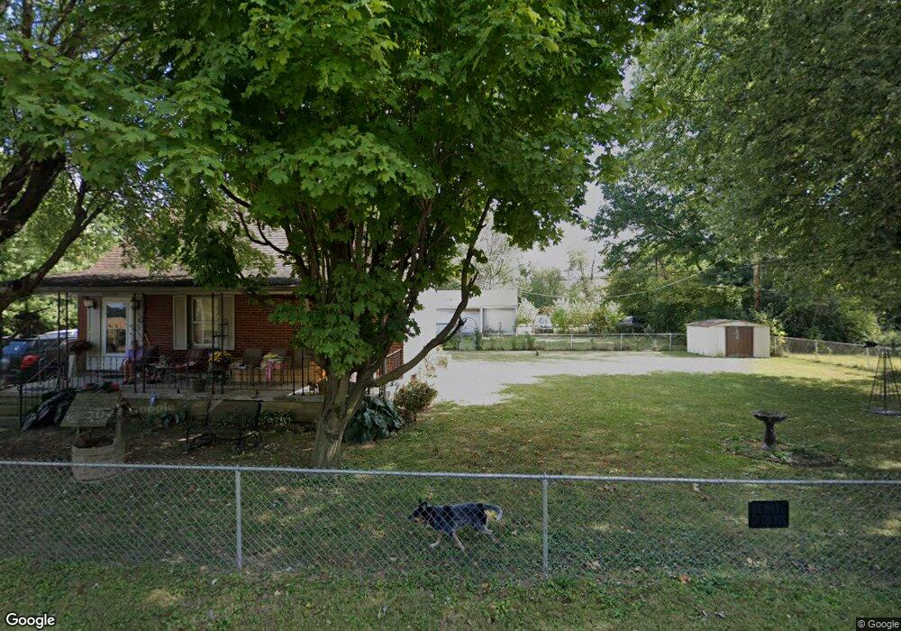
700 Hilock Rd Unit (R) Columbus, OH 43207
Obetz-Lockbourne NeighborhoodEstimated Value: $173,000 - $199,000
3
Beds
1
Bath
1,332
Sq Ft
$142/Sq Ft
Est. Value
About This Home
This home is located at 700 Hilock Rd Unit (R), Columbus, OH 43207 and is currently estimated at $189,430, approximately $142 per square foot. 700 Hilock Rd Unit (R) is a home located in Franklin County with nearby schools including Parsons Elementary School, Buckeye Middle School, and Marion-Franklin High School.
Ownership History
Date
Name
Owned For
Owner Type
Purchase Details
Closed on
Sep 11, 2023
Sold by
Garcia Juan A
Bought by
Aguirre Jose G
Current Estimated Value
Purchase Details
Closed on
Oct 29, 2018
Sold by
Vbannex B Borrower Llc
Bought by
Nrea Vb Iii Llc
Purchase Details
Closed on
Aug 12, 1998
Sold by
Holloway John P and Holloway Cheryl L
Bought by
Holloway John P and Holloway Cheryl L
Purchase Details
Closed on
Nov 19, 1986
Bought by
Holloway John P
Create a Home Valuation Report for This Property
The Home Valuation Report is an in-depth analysis detailing your home's value as well as a comparison with similar homes in the area
Home Values in the Area
Average Home Value in this Area
Purchase History
| Date | Buyer | Sale Price | Title Company |
|---|---|---|---|
| Aguirre Jose G | $15,000 | None Listed On Document | |
| Nrea Vb Iii Llc | -- | None Available | |
| Holloway John P | -- | -- | |
| Holloway John P | $24,900 | -- |
Source: Public Records
Tax History Compared to Growth
Tax History
| Year | Tax Paid | Tax Assessment Tax Assessment Total Assessment is a certain percentage of the fair market value that is determined by local assessors to be the total taxable value of land and additions on the property. | Land | Improvement |
|---|---|---|---|---|
| 2024 | $2,899 | $63,250 | $17,400 | $45,850 |
| 2023 | $2,862 | $63,245 | $17,395 | $45,850 |
| 2022 | $1,665 | $31,330 | $15,510 | $15,820 |
| 2021 | $2,194 | $31,330 | $15,510 | $15,820 |
| 2020 | $2,006 | $31,330 | $15,510 | $15,820 |
| 2019 | $2,135 | $27,060 | $13,480 | $13,580 |
| 2018 | $1,729 | $27,060 | $13,480 | $13,580 |
| 2017 | $1,682 | $27,060 | $13,480 | $13,580 |
| 2016 | $1,493 | $18,480 | $3,290 | $15,190 |
| 2015 | $1,293 | $20,900 | $3,290 | $17,610 |
| 2014 | $1,260 | $20,900 | $3,290 | $17,610 |
| 2013 | $394 | $21,980 | $3,465 | $18,515 |
Source: Public Records
Map
Nearby Homes
- 3302 Hilock Place
- 780 Basswood Rd
- 860 Basswood Rd
- 884 Bruckner Rd
- 1633-1635 E Greenway Ave
- 1138 Hilock Rd
- 1138 Hilock Rd Unit 35
- 1124 Rumsey Rd
- 696 Williams Rd
- 3161 Lewis Rd
- 0 Williams Rd
- 1085 Williams Rd
- 2901 Parsons Ave
- 3380 Parsons Ave
- 3573 S Champion Ave
- 3414 Parsons Ave
- 228 Currier Dr
- 256 Rumsey Rd Unit 258
- 1118 Maplewood Rd
- 1292 Moundview Ave