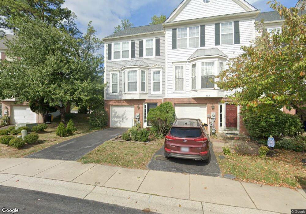
700 Howards Loop Annapolis, MD 21401
Parole NeighborhoodEstimated Value: $475,733 - $521,000
3
Beds
3
Baths
1,882
Sq Ft
$264/Sq Ft
Est. Value
About This Home
This home is located at 700 Howards Loop, Annapolis, MD 21401 and is currently estimated at $497,433, approximately $264 per square foot. 700 Howards Loop is a home located in Anne Arundel County with nearby schools including West Annapolis Elementary School, Wiley H. Bates Middle School, and Annapolis High School.
Ownership History
Date
Name
Owned For
Owner Type
Purchase Details
Closed on
Oct 22, 2009
Sold by
Hughes James H
Bought by
Hayes Jeremy P
Current Estimated Value
Purchase Details
Closed on
Jan 24, 2003
Sold by
Hartman Kimberly A
Bought by
Hughes James H and Hughes Kimberly A
Purchase Details
Closed on
Jun 28, 2000
Sold by
Finlayson William S
Bought by
Hartman Kimberly A and Hughes James H
Purchase Details
Closed on
Jun 12, 1998
Sold by
Pulte Home Corp
Bought by
Finlayson William S and Finlayson Sara Beth
Create a Home Valuation Report for This Property
The Home Valuation Report is an in-depth analysis detailing your home's value as well as a comparison with similar homes in the area
Home Values in the Area
Average Home Value in this Area
Purchase History
| Date | Buyer | Sale Price | Title Company |
|---|---|---|---|
| Hayes Jeremy P | $365,000 | -- | |
| Hughes James H | $188,000 | -- | |
| Hartman Kimberly A | $178,000 | -- | |
| Finlayson William S | $155,900 | -- |
Source: Public Records
Mortgage History
| Date | Status | Borrower | Loan Amount |
|---|---|---|---|
| Closed | Finlayson William S | -- |
Source: Public Records
Tax History
| Year | Tax Paid | Tax Assessment Tax Assessment Total Assessment is a certain percentage of the fair market value that is determined by local assessors to be the total taxable value of land and additions on the property. | Land | Improvement |
|---|---|---|---|---|
| 2025 | $4,151 | $413,600 | $180,000 | $233,600 |
| 2024 | $4,151 | $395,300 | $0 | $0 |
| 2023 | $4,045 | $377,000 | $0 | $0 |
| 2022 | $3,748 | $358,700 | $155,000 | $203,700 |
| 2020 | $3,748 | $354,900 | $0 | $0 |
| 2019 | $3,732 | $353,000 | $160,000 | $193,000 |
| 2018 | $3,526 | $347,733 | $0 | $0 |
| 2017 | $3,497 | $342,467 | $0 | $0 |
| 2016 | -- | $337,200 | $0 | $0 |
| 2015 | -- | $337,100 | $0 | $0 |
| 2014 | -- | $337,000 | $0 | $0 |
Source: Public Records
Map
Nearby Homes
- 775 Howards Loop Unit 167
- 603 Burtons Cove Way Unit 3
- 2052 Quaker Way Unit 7
- 2058 Quaker Way Unit 12
- 668 N Bestgate Rd
- 2006 Peggy Stewart Way Unit 204
- 2002 Phillips Terrace Unit 6
- 2013 Warners Terrace S Unit 138
- 2013 Warners Terrace S Unit 242
- 2015 Gov Thomas Bladen Way Unit 204
- 2150 Hideaway Ct Unit 28
- 25 Lincoln Pkwy
- 1873 Luce Creek Dr
- 623 Admiral Dr Unit 304
- 12 Harbour Heights Dr
- 34 Harbour Heights Dr
- 629 Admiral Dr Unit U206
- 1800 River Watch Ln
- 1838 Lindamoor Dr
- 29 Collison Rd
- 700 Howards Loop Unit 27
- 702 Howards Loop
- 702 Howard's Loop
- 704 Howards Loop Unit 529
- 664 Howards Loop
- 706 Howards Loop
- 662 Howards Loop Unit 25
- 662 Howards Loop
- 708 Howards Loop
- 660 Howards Loop
- 710 Howards Loop
- 658 Howards Loop
- 656 Howards Loop
- 701 Howards Loop
- 705 Howards Loop
- 703 Howards Loop
- 707 Howards Loop
- 707 Howards Loop Unit 75
- 714 Howards Loop
- 654 Howards Loop
Your Personal Tour Guide
Ask me questions while you tour the home.