700 Hummingbird Ln Ruston, LA 71270
Estimated Value: $260,000 - $388,966
3
Beds
2
Baths
2,051
Sq Ft
$172/Sq Ft
Est. Value
About This Home
This home is located at 700 Hummingbird Ln, Ruston, LA 71270 and is currently estimated at $353,742, approximately $172 per square foot. 700 Hummingbird Ln is a home located in Lincoln Parish with nearby schools including Ruston Elementary School, Hillcrest Elementary School, and Ruston Junior High School.
Ownership History
Date
Name
Owned For
Owner Type
Purchase Details
Closed on
Dec 22, 2006
Sold by
M R Builders Llc
Bought by
White Carla Mays W
Current Estimated Value
Purchase Details
Closed on
Apr 7, 2006
Sold by
Causey Michael Alan and Causey Angela Elizabeth
Bought by
M R Builders Llc
Home Financials for this Owner
Home Financials are based on the most recent Mortgage that was taken out on this home.
Original Mortgage
$182,280
Interest Rate
6.21%
Mortgage Type
Construction
Create a Home Valuation Report for This Property
The Home Valuation Report is an in-depth analysis detailing your home's value as well as a comparison with similar homes in the area
Home Values in the Area
Average Home Value in this Area
Purchase History
| Date | Buyer | Sale Price | Title Company |
|---|---|---|---|
| White Carla Mays W | $227,550 | None Available | |
| M R Builders Llc | $35,000 | None Available |
Source: Public Records
Mortgage History
| Date | Status | Borrower | Loan Amount |
|---|---|---|---|
| Previous Owner | M R Builders Llc | $182,280 |
Source: Public Records
Tax History Compared to Growth
Tax History
| Year | Tax Paid | Tax Assessment Tax Assessment Total Assessment is a certain percentage of the fair market value that is determined by local assessors to be the total taxable value of land and additions on the property. | Land | Improvement |
|---|---|---|---|---|
| 2024 | $2,935 | $34,384 | $6,959 | $27,425 |
| 2023 | $2,365 | $26,617 | $3,568 | $23,049 |
| 2022 | $2,377 | $26,617 | $3,568 | $23,049 |
| 2021 | $2,201 | $26,617 | $3,568 | $23,049 |
| 2020 | $1,938 | $23,324 | $3,568 | $19,756 |
| 2019 | $1,968 | $24,233 | $3,568 | $20,665 |
| 2018 | $1,914 | $24,233 | $3,568 | $20,665 |
| 2017 | $1,919 | $24,233 | $3,568 | $20,665 |
| 2016 | $1,912 | $0 | $0 | $0 |
| 2015 | $1,830 | $21,309 | $3,395 | $17,914 |
| 2013 | $1,859 | $21,309 | $3,395 | $17,914 |
Source: Public Records
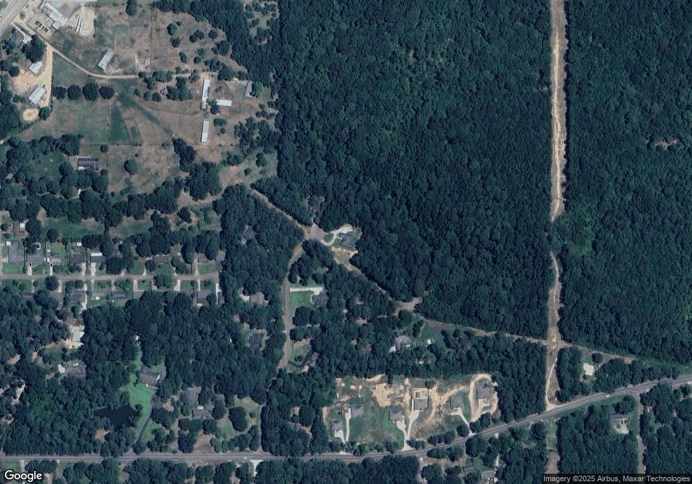
Map
Nearby Homes
- 2003 Jonathan Dr
- 1815 E Georgia Ave
- 1414 Brewster Ave
- 1406 Brewster Ave
- 112 Biltmore St
- 2301 E Georgia Ave
- 804 Quitman St
- 1109 Highway 33
- 322 N Bernard St
- 1203 Kenwood Dr
- 1727 Trade Dr
- 1200 E Mississippi Ave
- 0 N Service Rd Unit 202955
- 1401 Wyoming Ave
- 0 Willow Glen Dr
- 0 S Service Rd E
- 2502 S Service Rd E
- 000 Woodland St
- 000 Eastland Ave
- 1801 Nancy Dr
- 600 Hummingbird Ln
- 701 Hummingbird Ln
- Lot 8 Jonathan St
- Lot 7 Jonathan St
- Lot 6 Jonathan St
- 619 Hummingbird Ln
- 601 Hummingbird Ln
- 1918 Jonathan Dr
- 2000 Jonathan Dr
- 500 Hummingbird Ln
- 1421 Brewster Ave
- 501 Hummingbird Ln
- 1420 Brothers Rd
- 1419 Brewster Ave
- 1418 Brewster Ave
- 1417 Brewster Ave
- 1809 E Georgia Ave
- 1835 E Georgia Ave
- 1416 Brewster Ave
- 1805 E Georgia Ave Unit 1803 E Georgia Ave