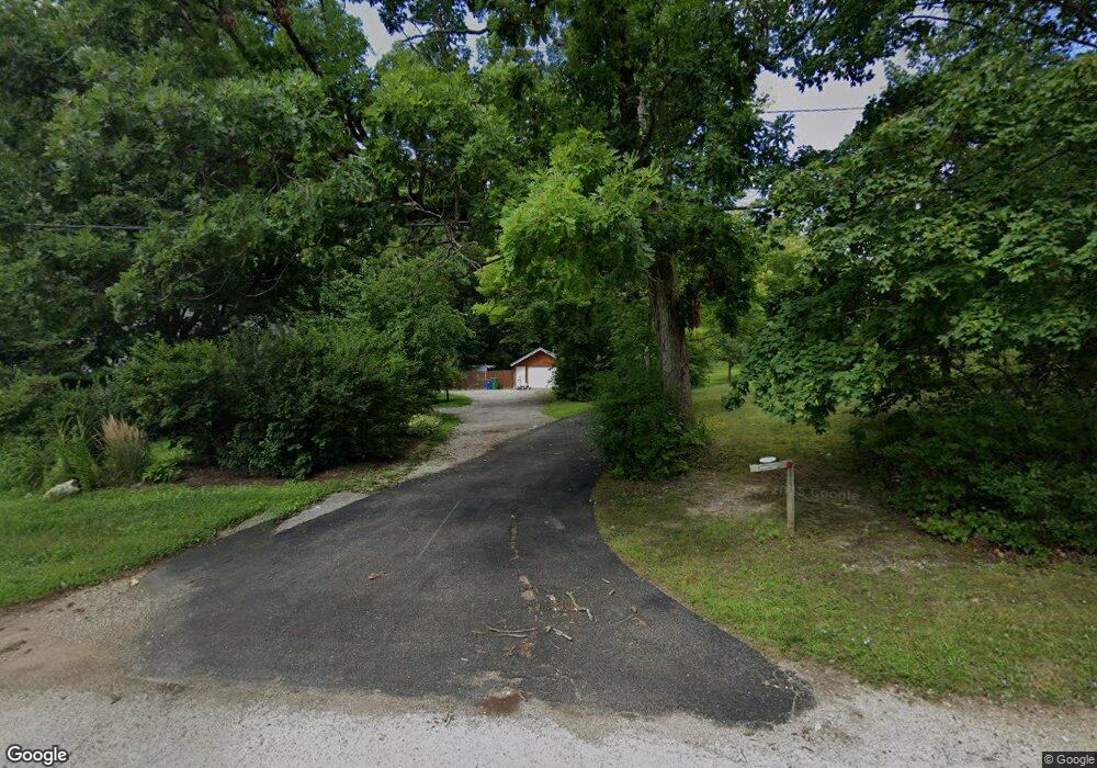
700 Il Route 59 Ingleside, IL 60041
Estimated Value: $224,000 - $281,000
--
Bed
1
Bath
1,286
Sq Ft
$205/Sq Ft
Est. Value
About This Home
This home is located at 700 Il Route 59, Ingleside, IL 60041 and is currently estimated at $263,497, approximately $204 per square foot. 700 Il Route 59 is a home located in Lake County with nearby schools including Big Hollow Primary School, Big Hollow Elementary School, and Big Hollow Middle School.
Ownership History
Date
Name
Owned For
Owner Type
Purchase Details
Closed on
Dec 29, 2005
Sold by
Dahl Robert G and Dahl Barbara L
Bought by
Feder Lisa
Current Estimated Value
Home Financials for this Owner
Home Financials are based on the most recent Mortgage that was taken out on this home.
Original Mortgage
$166,500
Interest Rate
9.35%
Mortgage Type
Purchase Money Mortgage
Create a Home Valuation Report for This Property
The Home Valuation Report is an in-depth analysis detailing your home's value as well as a comparison with similar homes in the area
Home Values in the Area
Average Home Value in this Area
Purchase History
| Date | Buyer | Sale Price | Title Company |
|---|---|---|---|
| Feder Lisa | $208,500 | St |
Source: Public Records
Mortgage History
| Date | Status | Borrower | Loan Amount |
|---|---|---|---|
| Previous Owner | Feder Lisa | $166,500 |
Source: Public Records
Tax History Compared to Growth
Tax History
| Year | Tax Paid | Tax Assessment Tax Assessment Total Assessment is a certain percentage of the fair market value that is determined by local assessors to be the total taxable value of land and additions on the property. | Land | Improvement |
|---|---|---|---|---|
| 2024 | $5,262 | $77,305 | $24,123 | $53,182 |
| 2023 | $5,262 | $72,826 | $22,725 | $50,101 |
| 2022 | $5,882 | $69,444 | $16,962 | $52,482 |
| 2021 | $5,755 | $65,457 | $15,988 | $49,469 |
| 2020 | $5,732 | $64,521 | $15,759 | $48,762 |
| 2019 | $5,518 | $61,873 | $15,112 | $46,761 |
| 2018 | $3,221 | $61,336 | $17,775 | $43,561 |
| 2017 | $3,151 | $56,692 | $16,429 | $40,263 |
| 2016 | $3,114 | $51,850 | $15,026 | $36,824 |
| 2015 | $2,920 | $48,386 | $14,022 | $34,364 |
| 2014 | $5,501 | $44,625 | $16,113 | $28,512 |
| 2012 | $4,647 | $55,193 | $16,822 | $38,371 |
Source: Public Records
Map
Nearby Homes
- 649 Windsor Dr Unit 3D
- 616 Windsor Dr Unit D
- 541 Foxridge Dr Unit 13D
- 994 Reserve Ct
- 35403 N 2nd Ave
- 35675 N Marine Dr
- 35060 N Hilldale Dr
- 38 S Maple Ave
- 26931 W Marion Ct
- 411 Kings Rd
- 37 Hillcrest Ave
- 29 S Hickory Ave
- 532 Circle Dr
- 605 Rollins Rd
- 10 S Maple Ave
- 314 Mastodon Dr
- 8 S Lake Ave
- 69 Washington St
- 35105 N Ingleside Dr
- 127 E Grand Ave
- 620 Il Route 59
- 615 Crestview Dr
- 613 Crestview Dr
- 706 Illinois Route 59
- 703 Il Route 59
- 705 S Il Route 59
- 708 Route 59
- 703 Crestview Dr
- 611 Crestview Dr
- 710 Il Route 59
- 9 Crestview Dr
- 695 S Il Route 59
- 617 Frazier Ct
- 705 Crestview Dr
- 712 Il Route 59
- 615 Frazier Ct
- 714 Il Route 59
- 11 Crestview Dr
- 106 Wildwood Dr