700 Knight Rd Rockmart, GA 30153
Estimated Value: $261,000 - $344,000
3
Beds
2
Baths
1,830
Sq Ft
$169/Sq Ft
Est. Value
About This Home
This home is located at 700 Knight Rd, Rockmart, GA 30153 and is currently estimated at $308,712, approximately $168 per square foot. 700 Knight Rd is a home located in Polk County.
Ownership History
Date
Name
Owned For
Owner Type
Purchase Details
Closed on
May 7, 2010
Sold by
Mcalister Julie B
Bought by
Mcalister Tony E
Current Estimated Value
Purchase Details
Closed on
Jul 21, 1999
Sold by
Stephenson Carl Anthony
Bought by
Stephenson Julie B
Purchase Details
Closed on
Jan 29, 1988
Sold by
Meers Charles
Bought by
Stephenson Carl A
Purchase Details
Closed on
Apr 2, 1987
Sold by
Williams David C
Bought by
Meers Charles
Purchase Details
Closed on
Mar 10, 1986
Bought by
Williams David C
Create a Home Valuation Report for This Property
The Home Valuation Report is an in-depth analysis detailing your home's value as well as a comparison with similar homes in the area
Home Values in the Area
Average Home Value in this Area
Purchase History
| Date | Buyer | Sale Price | Title Company |
|---|---|---|---|
| Mcalister Tony E | -- | -- | |
| Stephenson Julie B | -- | -- | |
| Stephenson Carl A | $31,800 | -- | |
| Meers Charles | $16,000 | -- | |
| Williams David C | -- | -- |
Source: Public Records
Tax History Compared to Growth
Tax History
| Year | Tax Paid | Tax Assessment Tax Assessment Total Assessment is a certain percentage of the fair market value that is determined by local assessors to be the total taxable value of land and additions on the property. | Land | Improvement |
|---|---|---|---|---|
| 2024 | $1,866 | $91,259 | $16,550 | $74,709 |
| 2023 | $1,503 | $65,350 | $16,550 | $48,800 |
| 2022 | $1,211 | $53,030 | $11,033 | $41,997 |
| 2021 | $1,227 | $53,030 | $11,033 | $41,997 |
| 2020 | $1,229 | $53,030 | $11,033 | $41,997 |
| 2019 | $1,108 | $43,255 | $11,033 | $32,222 |
| 2018 | $1,146 | $43,591 | $11,033 | $32,558 |
| 2017 | $1,132 | $43,591 | $11,033 | $32,558 |
| 2016 | $1,050 | $40,603 | $8,045 | $32,558 |
| 2015 | $1,077 | $41,477 | $8,045 | $33,432 |
| 2014 | $1,062 | $40,637 | $8,045 | $32,592 |
Source: Public Records
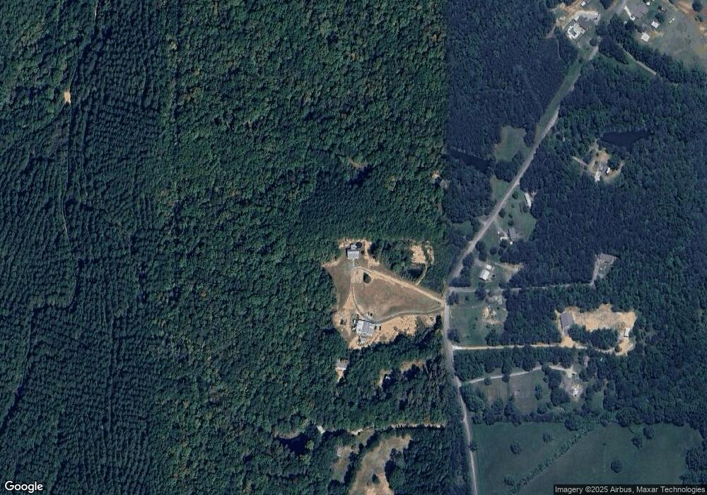
Map
Nearby Homes
- 1195 Grady Rd
- 394 Knight Rd
- 1504 Grady Rd
- 600 Grady Rd
- 1157 Stringer Rd
- 0 Runyon Loop Unit 7650113
- 0 Runyon Loop Unit 10606366
- 1168 Campbell Rd
- 3825 Rockmart Hwy
- 440 Mcbride Rd
- 1907 Old Cedartown Rd
- 0 Everett Mtn Rd
- 2020 Old Cedartown Rd
- 94 Wimberly Hill Loop
- 0 Hightower Rd Unit 7633002
- 0 Hightower Rd Unit 10584778
- 0 Hightower Rd Unit 7632982
- 0 Hightower Rd Unit 10584768
- 332 Stringer Rd
- 200 Kelly Rd