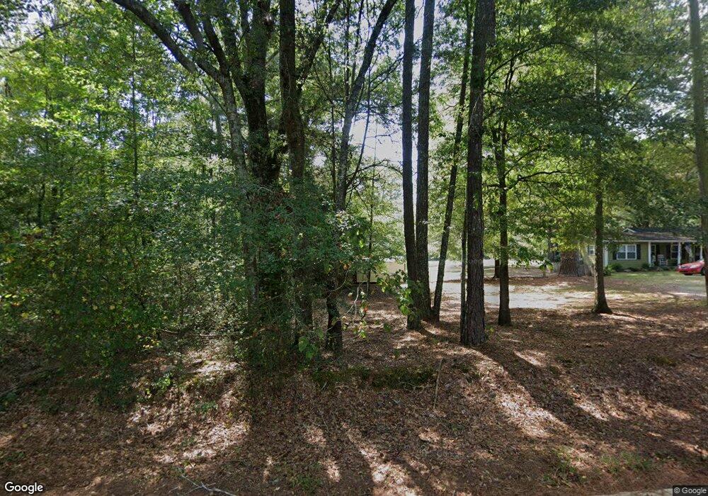
700 Mclendon Cir Carrollton, GA 30117
Estimated Value: $419,000 - $467,571
4
Beds
2
Baths
2,376
Sq Ft
$187/Sq Ft
Est. Value
About This Home
This home is located at 700 Mclendon Cir, Carrollton, GA 30117 and is currently estimated at $443,143, approximately $186 per square foot. 700 Mclendon Cir is a home located in Carroll County with nearby schools including Roopville Elementary School, Central Middle School, and Central High School.
Ownership History
Date
Name
Owned For
Owner Type
Purchase Details
Closed on
Jan 30, 2012
Sold by
Mayer Robert E
Bought by
Mayer Liv Trust
Current Estimated Value
Purchase Details
Closed on
May 21, 2003
Sold by
Mayer Margaret
Bought by
Mayer Robert E and Mayer Margaret A
Purchase Details
Closed on
Jan 7, 2000
Sold by
Mayer Robert E and Mayer Mar
Bought by
Mayer Margaret
Purchase Details
Closed on
Sep 15, 1995
Sold by
Jones Stephen
Bought by
Mayer Robert E and Mayer Mar
Purchase Details
Closed on
Jun 15, 1993
Sold by
Burke Francis and Burke Jean
Bought by
Jones Stephen
Purchase Details
Closed on
May 17, 1990
Bought by
Burke Francis and Burke Jean
Create a Home Valuation Report for This Property
The Home Valuation Report is an in-depth analysis detailing your home's value as well as a comparison with similar homes in the area
Home Values in the Area
Average Home Value in this Area
Purchase History
| Date | Buyer | Sale Price | Title Company |
|---|---|---|---|
| Mayer Liv Trust | -- | -- | |
| Mayer Robert E | -- | -- | |
| Mayer Margaret | -- | -- | |
| Mayer Robert E | $109,000 | -- | |
| Jones Stephen | $110,000 | -- | |
| Burke Francis | $30,100 | -- |
Source: Public Records
Tax History
| Year | Tax Paid | Tax Assessment Tax Assessment Total Assessment is a certain percentage of the fair market value that is determined by local assessors to be the total taxable value of land and additions on the property. | Land | Improvement |
|---|---|---|---|---|
| 2025 | $328 | $152,328 | $51,040 | $101,288 |
| 2024 | $332 | $152,328 | $51,040 | $101,288 |
| 2023 | $332 | $133,262 | $40,832 | $92,430 |
| 2022 | $395 | $101,406 | $27,222 | $74,184 |
| 2021 | $398 | $85,286 | $21,777 | $63,509 |
| 2020 | $400 | $77,166 | $19,798 | $57,368 |
| 2019 | $411 | $72,172 | $19,798 | $52,374 |
| 2018 | $330 | $62,618 | $15,228 | $47,390 |
Source: Public Records
Map
Nearby Homes
- 156 Mclendon Cir
- 195 Gold Dust Trail
- 0 Ringer Rd Unit 10595950
- 315 Laurel Rd
- 442 Buffalo Creek Rd
- 0 Bonner Goldmine Rd Unit 10433818
- 465 Bethesda Church Rd
- 1585 Hays Mill Rd
- 533 Buffalo Creek Rd
- 0 Buffalo Creek Rd Unit 25806402
- 0 Buffalo Creek Rd Unit 10624169
- 0 Lowell Rd Unit 10640679
- 221 Valley Ridge Dr
- 678 Old Camp Church Rd
- 345 Piney Grove Rd
- 191 Tumlin Creek Rd
- 671 Old Camp Church Rd
- 861 Bonner Rd
- 127 Martin Cemetary Rd
- 135 Martin Cemetery Rd
- 632 Mclendon Cir
- 650 Mclendon Cir
- 766 Mclendon Cir
- 620 Mclendon Cir
- 798 Mclendon Cir
- 575 Mclendon Cir
- 823 Mclendon Cir
- 832 Mclendon Cir
- 560 Mclendon Cir
- 395 Beaver Pond Rd
- 395 Beaverpond Rd
- 307 Beaver Pond Rd
- 1473 Pleasant Ridge Rd
- 1497 Pleasant Ridge Rd
- 848 Mclendon Cir
- 480 Mclendon Cir
- 894 Mclendon Cir
- 365 Mclendon Cir
- 476 Mclendon Cir
- 343 Mclendon Cir
