Estimated Value: $200,000 - $255,726
3
Beds
2
Baths
1,965
Sq Ft
$119/Sq Ft
Est. Value
About This Home
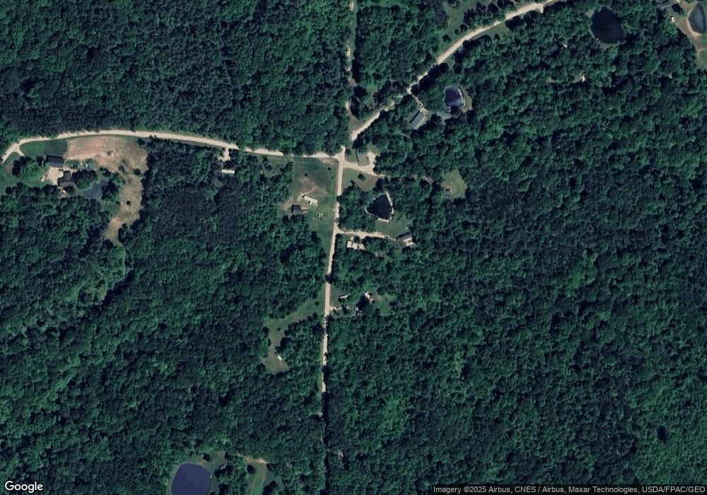
This home is located at 700 N Pascal Rd, Malta, OH 43758 and is currently estimated at $233,432, approximately $118 per square foot. 700 N Pascal Rd is a home located in Morgan County with nearby schools including Morgan High School.
Ownership History
Date
Name
Owned For
Owner Type
Purchase Details
Closed on
Sep 13, 2007
Sold by
Purdum Mari E and Purdum Mari
Bought by
Frisby Robert L and Frisby Linda L
Current Estimated Value
Purchase Details
Closed on
May 10, 2007
Sold by
Wright Virgil L
Bought by
Pudum Mari
Purchase Details
Closed on
Nov 21, 1997
Sold by
Grover Ernest R and Grover Margaret A
Bought by
Purdum Mari E and Virgil Wright
Purchase Details
Closed on
Feb 14, 1997
Bought by
Grover Ernest R and Grover Margaret A
Purchase Details
Closed on
Jan 11, 1996
Bought by
Bruner Land Company Inc
Create a Home Valuation Report for This Property
The Home Valuation Report is an in-depth analysis detailing your home's value as well as a comparison with similar homes in the area
Purchase History
| Date | Buyer | Sale Price | Title Company |
|---|---|---|---|
| Frisby Robert L | -- | -- | |
| Pudum Mari | -- | -- | |
| Purdum Mari E | $11,500 | -- | |
| Grover Ernest R | $6,700 | -- | |
| Bruner Land Company Inc | -- | -- |
Source: Public Records
Tax History
| Year | Tax Paid | Tax Assessment Tax Assessment Total Assessment is a certain percentage of the fair market value that is determined by local assessors to be the total taxable value of land and additions on the property. | Land | Improvement |
|---|---|---|---|---|
| 2024 | $1,833 | $56,880 | $10,930 | $45,950 |
| 2023 | $1,838 | $43,360 | $8,910 | $34,450 |
| 2022 | $1,383 | $43,360 | $8,910 | $34,450 |
| 2021 | $1,401 | $43,470 | $8,910 | $34,560 |
| 2019 | $1,364 | $40,520 | $8,100 | $32,420 |
| 2018 | $1,313 | $40,520 | $8,100 | $32,420 |
| 2017 | $1,237 | $37,237 | $6,871 | $30,366 |
| 2016 | $1,242 | $37,237 | $6,871 | $30,366 |
| 2015 | $1,241 | $37,342 | $6,871 | $30,471 |
| 2014 | $1,279 | $37,342 | $6,871 | $30,471 |
| 2013 | $1,257 | $37,342 | $6,871 | $30,471 |
Source: Public Records
Map
Nearby Homes
- 0 Hambel Rd
- 581 Butler Rd
- 7621 W Mollahan Rd NW
- 360 Glass Rd NW
- 690 Ames Rd
- 8960 State Route 37
- 6495 Township Road 293 SE
- 0 Township Road 318
- 136 Jones St
- 185 Adams St
- 140 S Valley St
- 156 Rodgers St
- 207 W Main St
- 14105 Portie-Flamingo Rd SE
- 13877 Portie Flamingo Rd SE
- 0 NE Township Road 202 Unit 20250430
- 4544 Beach Rd
- 7.38 acres County Road 13
- 3760 S Elliott Rd
- 7714 County Rd 14
- 650 N Pascal Rd
- 740 N Pascal Rd
- 8925 Drake Rd
- 0 Glass Rd
- 8870 Drake Rd
- 545 N Pascal Rd
- 545 N Pascal Rd
- 920 N Pascal Rd
- 9229 Glass Rd NW
- 8755 Drake Rd
- 9270 Glass Rd NW
- 8550 Drake Rd
- 9424 Glass Rd NW
- 9420 Glass Rd NW
- 8585 Drake Rd
- 1150 N Pascal Rd
- 1150 1120 Pascal Rd
- 8585 N Drake Rd
- 1180 N Pascal Rd
- 370 State Route 555 SW
